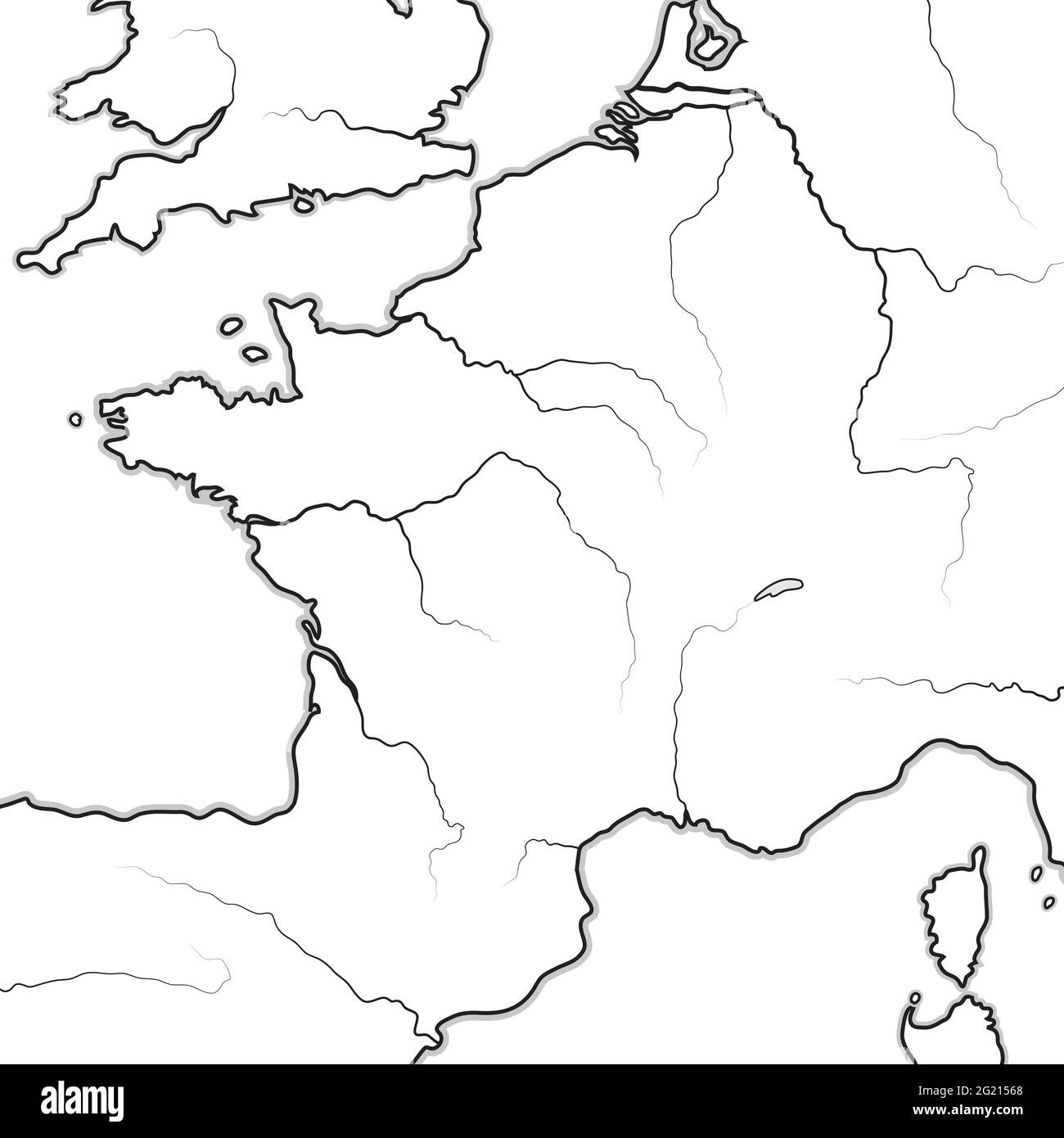
Map of The FRENCH Lands: France, Provence, Normandie, Occitanie, Aquitaine, Lorraine. Geographic chart.
RFID:Image ID:2G21568
Image details
Contributor:
MysticaLink / Alamy Stock VectorImage ID:
2G21568Releases:
Model - no | Property - noDo I need a release?Date created:
28 June 2019Location:
France, Provence, NormandyMore information:
Map of The FRENCH Lands: France & its regions (Île-de-France, Champagne, Normandie, Bretagne, Aquitaine, Occitanie, Provence, Burgundy, Lorraine, Elsass). Geographic chart with coastline and rivers.