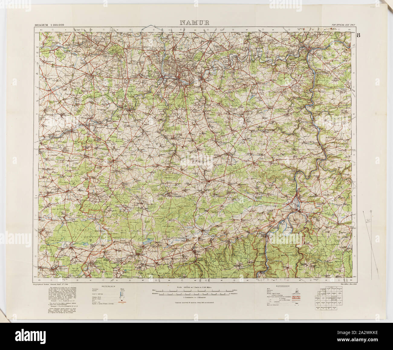
Map - Military, Belgium, Namur 8, General Staff no. 2364, Scale 1:100,000, World War I, 1910, Military map of Belgium, Namur area (a hand-written inscription identifies it as Namur 8 district), scale 1:100,000, published in 1910. The map is labelled General Staff No. 2364. It would have been used during World War I. Maps of this scale lacked the detail needed for trench warfare, instead providing an overview of regions for the use of senior commanders. Part of the collection of World
RMID:Image ID:2A2WKKE
Image details
Contributor:
Penta Springs Limited / Alamy Stock PhotoImage ID:
2A2WKKEFile size:
35.8 MB (3.8 MB Compressed download)Releases:
Model - no | Property - noDo I need a release?Dimensions:
3900 x 3207 px | 33 x 27.2 cm | 13 x 10.7 inches | 300dpiPhotographer:
ArtokoloroMore information:
This image could have imperfections as it’s either historical or reportage.
Map - Military, Belgium, Namur 8, General Staff no. 2364, Scale 1:100, 000, World War I, 1910, Military map of Belgium, Namur area (a hand-written inscription identifies it as Namur 8 district), scale 1:100, 000, published in 1910. The map is labelled General Staff No. 2364. It would have been used during World War I. Maps of this scale lacked the detail needed for trench warfare, instead providing an overview of regions for the use of senior commanders. Part of the collection of World