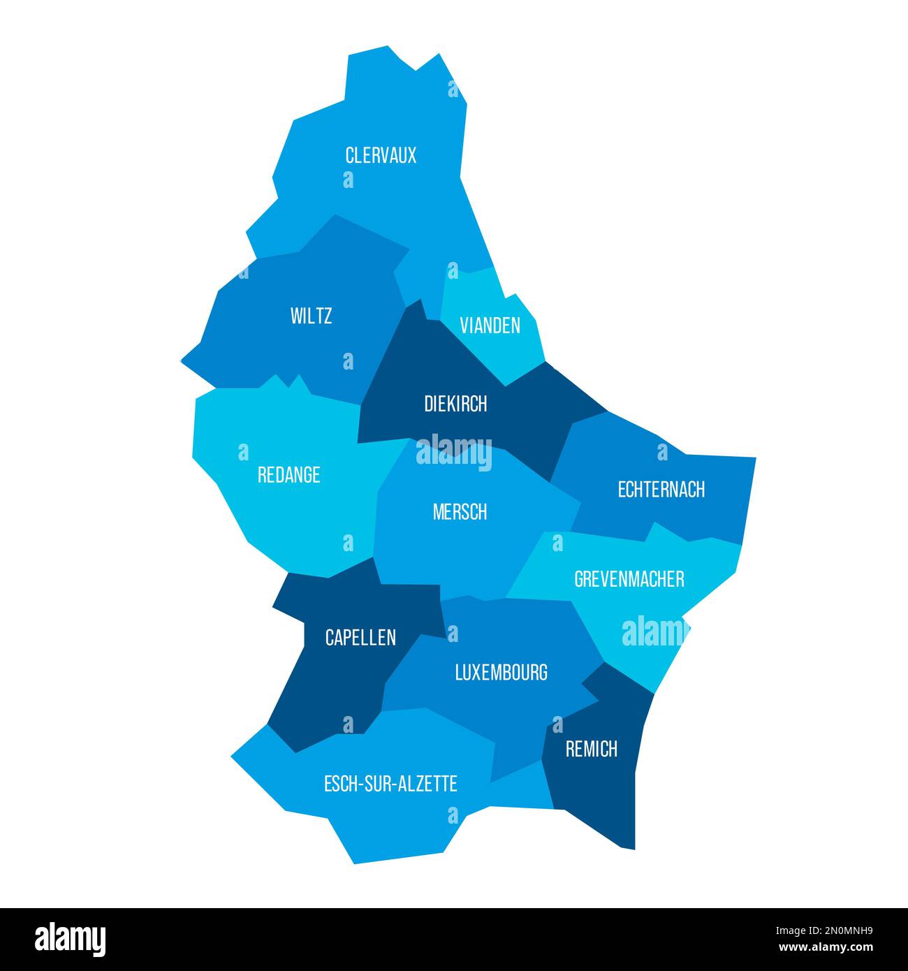
Luxembourg political map of administrative divisions - cantons. Flat blue vector map with name labels.
RFID:Image ID:2N0MNH9
Image details
Contributor:
pytyczech / Alamy Stock VectorImage ID:
2N0MNH9Releases:
Model - no | Property - noDo I need a release?Location:
Czech RepublicMore information:
Luxembourg political map of administrative divisions - cantons. Flat blue vector map with name labels.