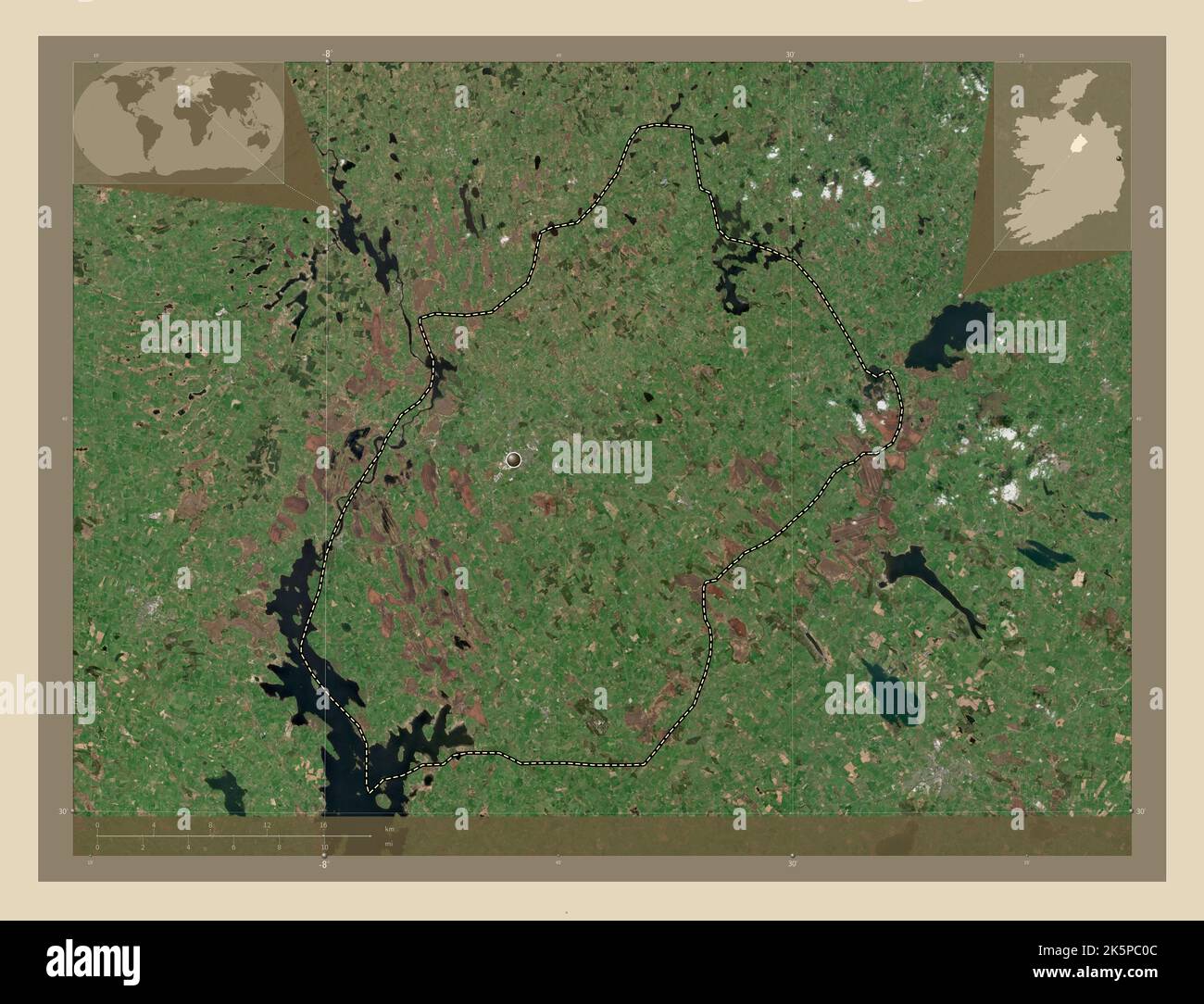
Longford, county of Ireland. High resolution satellite map. Corner auxiliary location maps
RFID:Image ID:2K5PC0C
Image details
Contributor:
Yarr65 / Alamy Stock PhotoImage ID:
2K5PC0CFile size:
101.2 MB (4 MB Compressed download)Releases:
Model - no | Property - noDo I need a release?Dimensions:
6800 x 5200 px | 57.6 x 44 cm | 22.7 x 17.3 inches | 300dpiDate taken:
8 October 2022Location:
Ireland