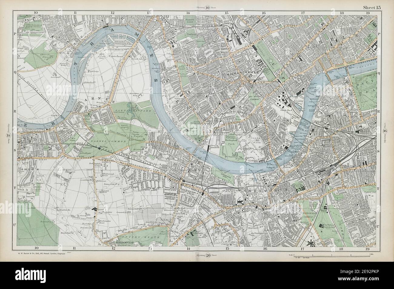
LONDON Chiswick Barnes Fulham Chelsea Putney Wandsworth Clapham. BACON 1906 map
RFID:Image ID:2E92PKP
Image details
Contributor:
Antiqua Print Gallery / Alamy Stock PhotoImage ID:
2E92PKPFile size:
73.3 MB (5.4 MB Compressed download)Releases:
Model - no | Property - noDo I need a release?Dimensions:
6202 x 4129 px | 52.5 x 35 cm | 20.7 x 13.8 inches | 300dpiDate taken:
1906Location:
LondonMore information:
This image could have imperfections as it’s either historical or reportage.
Sheet 15 from Bacon's 1906 London street atlas covering part of West London inc. Chiswick, Barnes, Fulham, Chelsea, Putney, Wandsworth, Clapham, Battersea. Artist/engraver/cartographer: George W. Bacon & Co. Provenance: "Bacon's New Large-Scale Atlas of London and suburbs" with supplementary maps, copious letterpress descriptions, and alphabetical indexes, London, GW Bacon & Co [New Large-Scale Atlas of London and suburbs]. Type: Antique colour street atlas map.