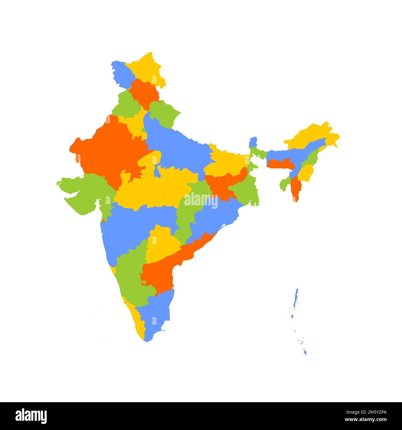
India political map of administrative divisions - states and union teritorries. Blank colorful vector map.
RFID:Image ID:2N5Y2PA
Image details
Contributor:
pytyczech / Alamy Stock VectorImage ID:
2N5Y2PAReleases:
Model - no | Property - noDo I need a release?Location:
Czech RepublicMore information:
India political map of administrative divisions - states and union teritorries. Blank colorful vector map.