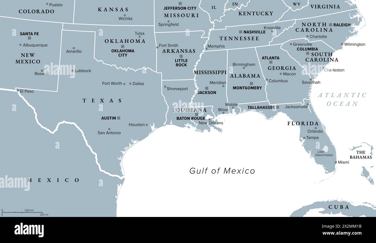
Gulf States of the United States, also called Gulf South or South Coast, political map. Coastline along Southern United States at Gulf of Mexico.
RFID:Image ID:2X2MM1B
Image details
Contributor:
Peter Hermes Furian / Alamy Stock PhotoImage ID:
2X2MM1BFile size:
133.8 MB (1.3 MB Compressed download)Releases:
Model - no | Property - noDo I need a release?Dimensions:
9000 x 5195 px | 76.2 x 44 cm | 30 x 17.3 inches | 300dpiDate taken:
23 April 2024Location:
United StatesMore information:
Gulf States of the United States, also called Gulf South or South Coast, political map. Coastline along Southern United States at Gulf of Mexico. Texas, Louisiana, Mississippi, Alabama and Florida.