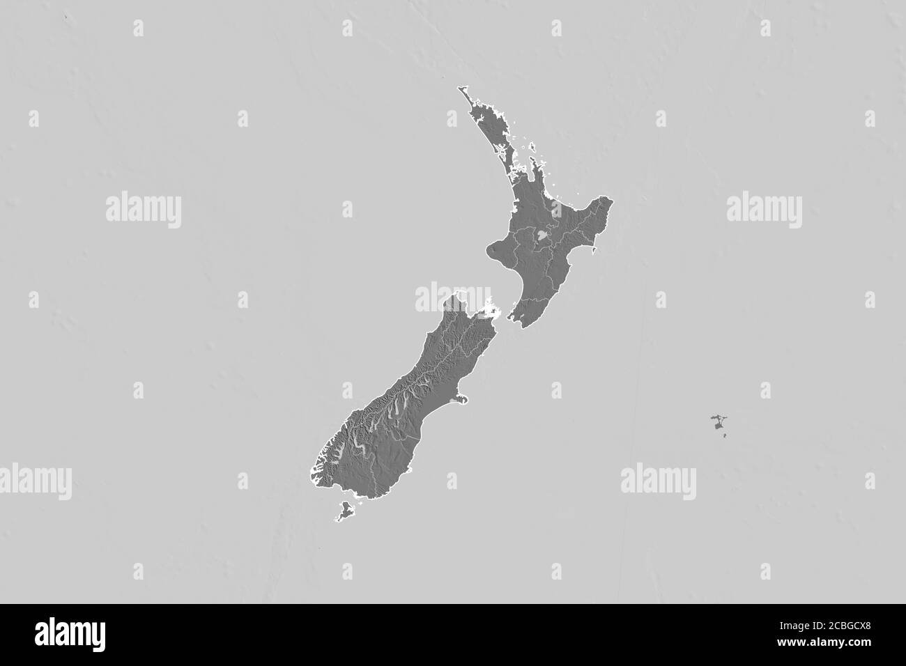
Extended area of New Zealand with country outline, international and regional borders. Bilevel elevation map. 3D rendering
RFID:Image ID:2CBGCX8
Image details
Contributor:
Yarr65 / Alamy Stock PhotoImage ID:
2CBGCX8File size:
154.5 MB (1.1 MB Compressed download)Releases:
Model - no | Property - noDo I need a release?Dimensions:
9000 x 6000 px | 76.2 x 50.8 cm | 30 x 20 inches | 300dpiDate taken:
6 August 2020