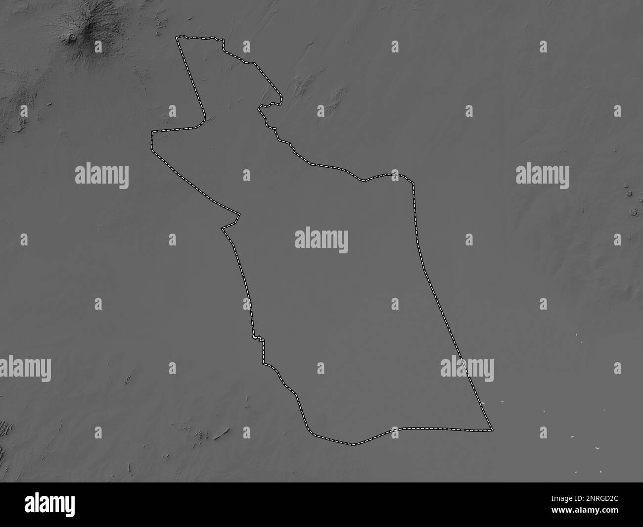
East Darfur, state of Sudan. Grayscale elevation map with lakes and rivers
RFID:Image ID:2NRGD2C
Image details
Contributor:
Yarr65 / Alamy Stock PhotoImage ID:
2NRGD2CFile size:
71.2 MB (887.1 KB Compressed download)Releases:
Model - no | Property - noDo I need a release?Dimensions:
5760 x 4320 px | 48.8 x 36.6 cm | 19.2 x 14.4 inches | 300dpiDate taken:
14 February 2023Location:
Sudan