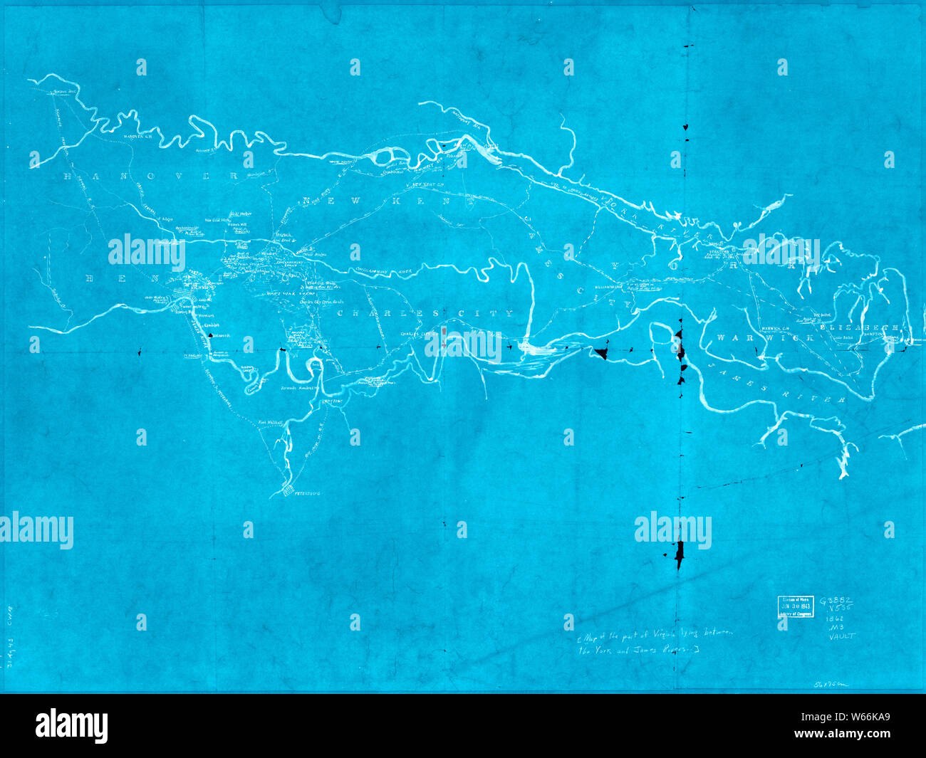
Civil War Maps 2117 Map of the part of Virginia lying between the York and James rivers showing battles and routes of Union forces 1861-62 Inverted Rebuild and Repair
RMID:Image ID:W66KA9
Image details
Contributor:
Wetdryvac / Alamy Stock PhotoImage ID:
W66KA9File size:
171.7 MB (6.8 MB Compressed download)Releases:
Model - no | Property - noDo I need a release?Dimensions:
8945 x 6710 px | 75.7 x 56.8 cm | 29.8 x 22.4 inches | 300dpiDate taken:
17 June 2003More information:
This image could have imperfections as it’s either historical or reportage.