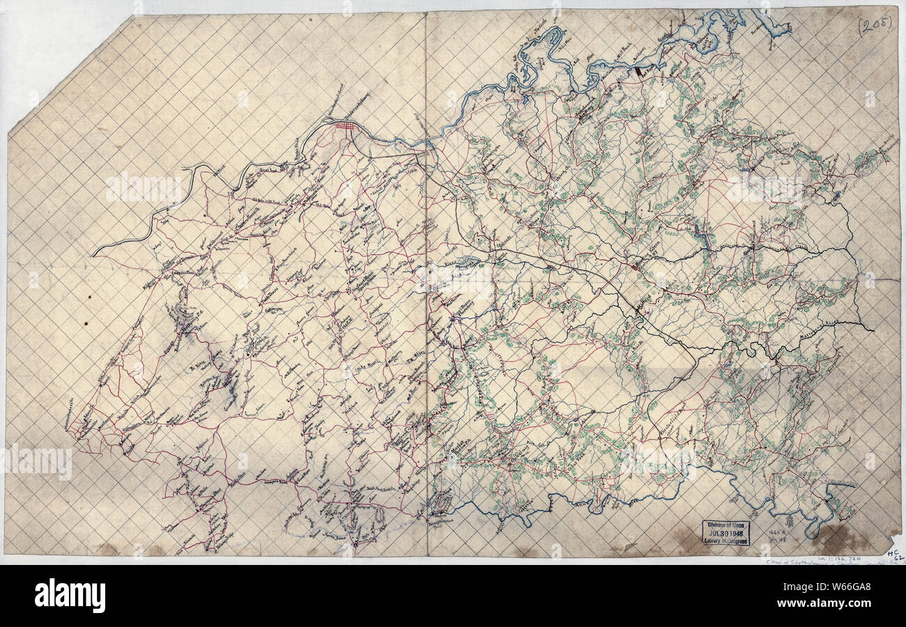
Civil War Maps 2062 Map of Spotsylvania and Caroline Counties Virginia Rebuild and Repair
RMID:Image ID:W66GA8
Image details
Contributor:
Wetdryvac / Alamy Stock PhotoImage ID:
W66GA8File size:
116.2 MB (6.6 MB Compressed download)Releases:
Model - no | Property - noDo I need a release?Dimensions:
8072 x 5033 px | 68.3 x 42.6 cm | 26.9 x 16.8 inches | 300dpiDate taken:
15 July 2005More information:
This image could have imperfections as it’s either historical or reportage.