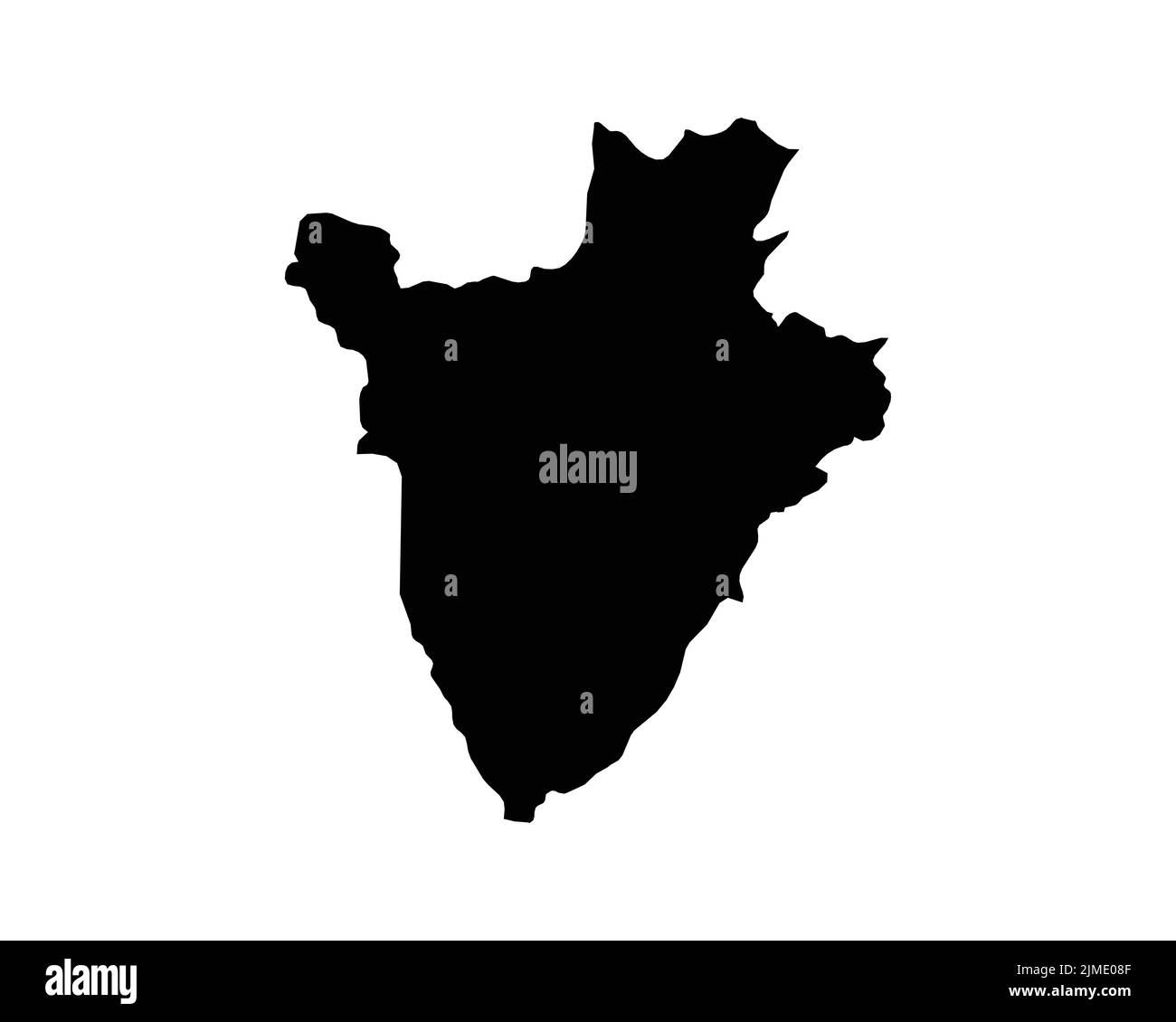
Burundi Map. Burundian Country Map. Umurundi Abarundi Black and White National Outline Border Boundary Shape Geography Territory EPS Vector Illustrati

RFID:Image ID:2JME08F
Image details
Contributor:
XileoDesigns / Alamy Stock VectorImage ID:
2JME08FReleases:
Model - no | Property - noDo I need a release?Date created:
2 August 2022Location:
BurundiMore information:
Burundi Map. Burundian Country Map. Umurundi Abarundi Black and White National Outline Border Boundary Shape Geography Territory EPS Vector Illustration Clipart