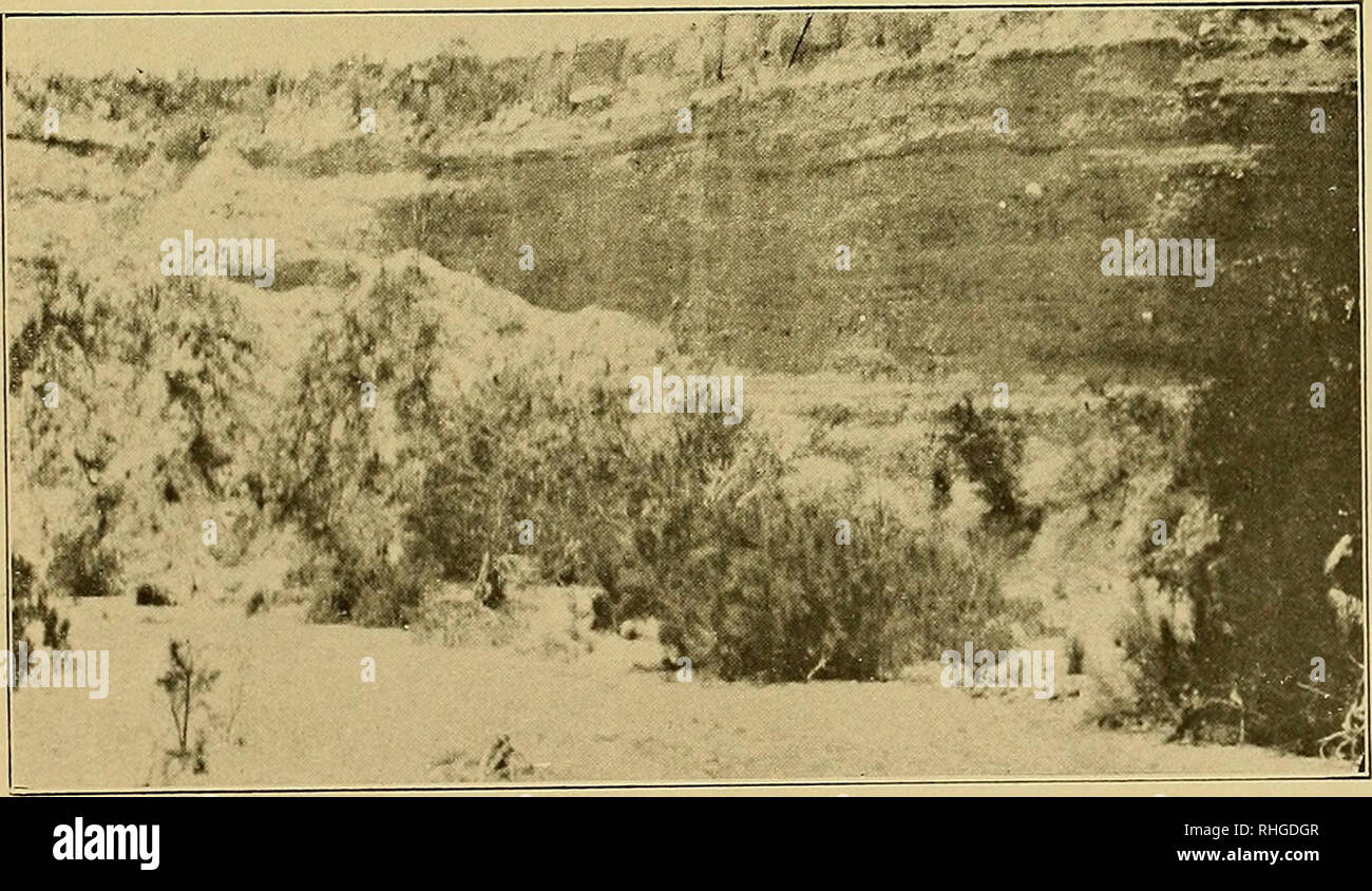
. Boletín. Fot. 5.—Arroyo del Saltito, bancos de diorita y planos de juntas. Fot. 6.—Arroyo de la Cantería, depósitos sedimentariüs, terminando en su parte superior por una capa de toba rhyolítica. Please note that these images are extracted from scanned page images that may have been digitally enhanced for readability - coloration and appearance of these illustrations may not perfectly resemble the original work.. Instituto Geológico de México; Universidad Nacional de México. Instituto de Geología. México : Instituto
RMID:Image ID:RHGDGR
Image details
Contributor:
Library Book Collection / Alamy Stock PhotoImage ID:
RHGDGRFile size:
7.2 MB (470.3 KB Compressed download)Releases:
Model - no | Property - noDo I need a release?Dimensions:
2075 x 1205 px | 35.1 x 20.4 cm | 13.8 x 8 inches | 150dpiMore information:
This image is a public domain image, which means either that copyright has expired in the image or the copyright holder has waived their copyright. Alamy charges you a fee for access to the high resolution copy of the image.
This image could have imperfections as it’s either historical or reportage.