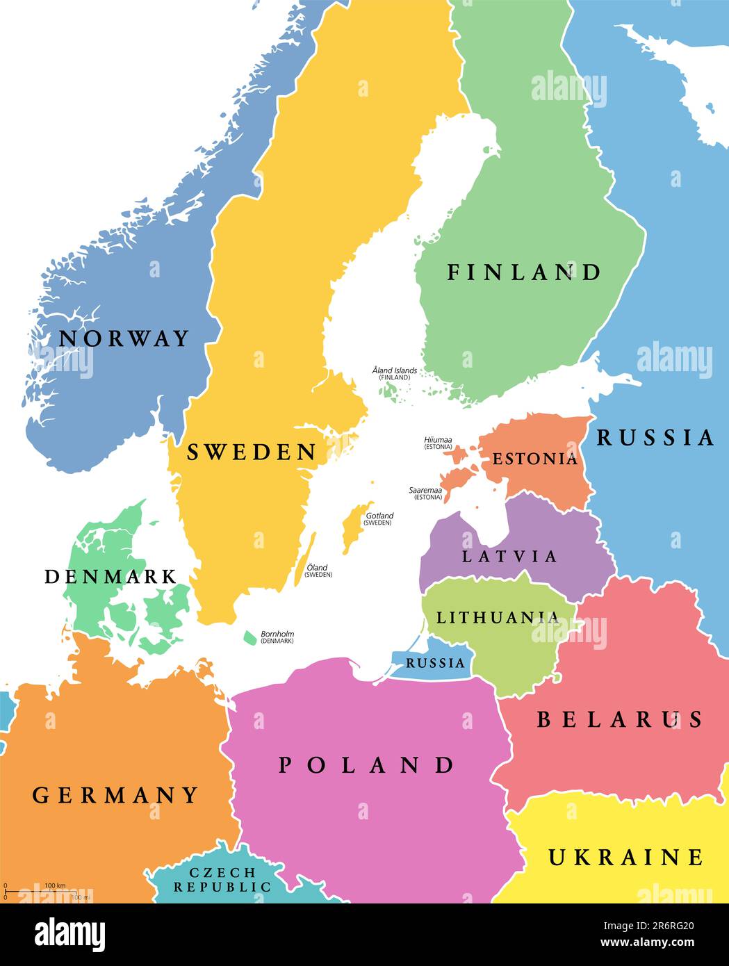
Baltic Sea area, colored countries, political map, with national borders and English names. Countries along the coast of the Baltic Sea.
RFID:Image ID:2R6RG20
Image details
Contributor:
Peter Hermes Furian / Alamy Stock PhotoImage ID:
2R6RG20File size:
127.6 MB (1 MB Compressed download)Releases:
Model - no | Property - noDo I need a release?Dimensions:
6000 x 7434 px | 50.8 x 62.9 cm | 20 x 24.8 inches | 300dpiDate taken:
11 June 2023Location:
EuropeMore information:
Baltic Sea area, colored countries, political map, with national borders and English names. Countries along the coast of the Baltic Sea, with surrounding countries in Europe. Isolated illustration.