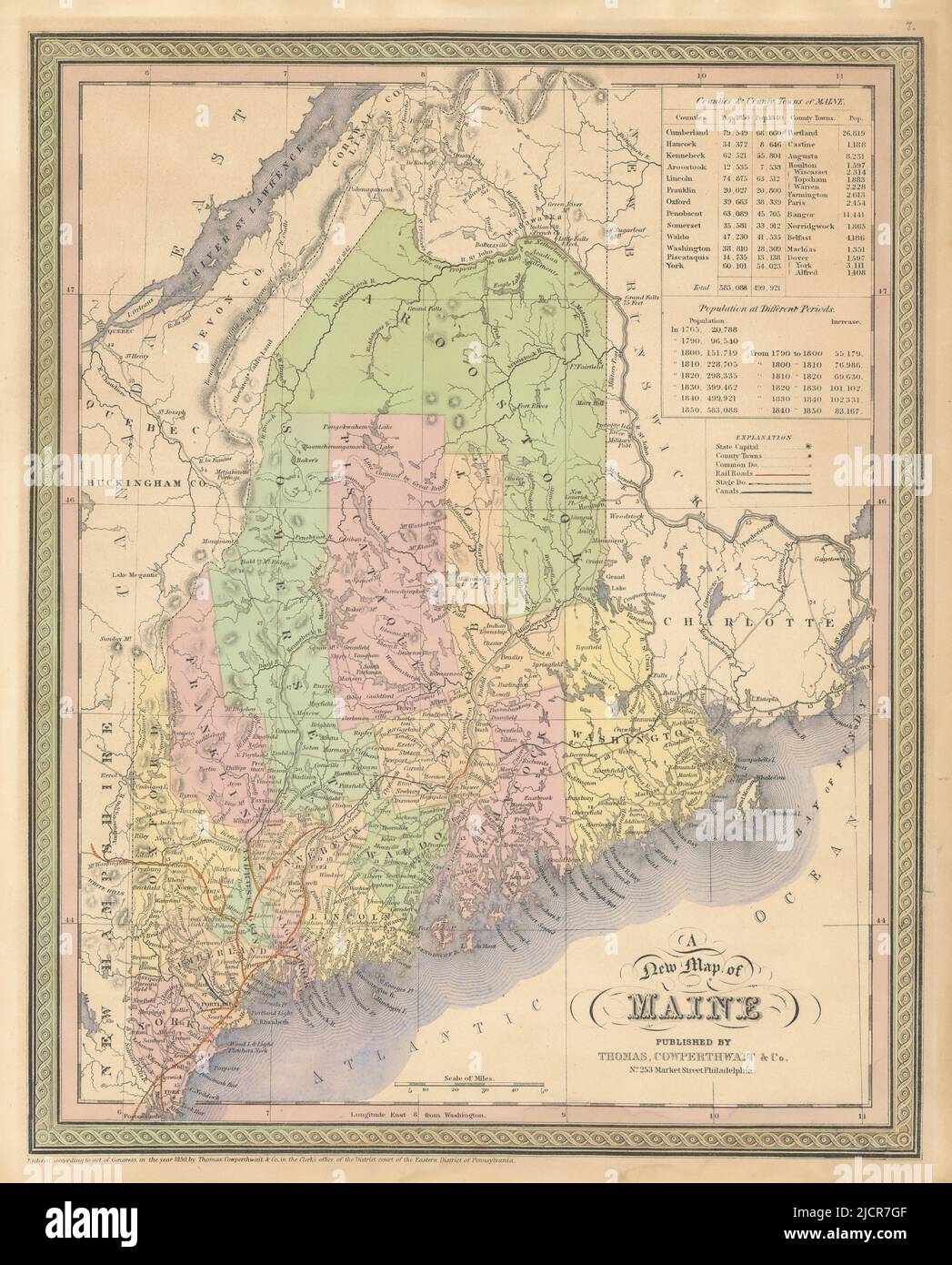
A new map of Maine. State map with counties. THOMAS, COWPERTHWAIT 1852 old
RFID:Image ID:2JCR7GF
Image details
Contributor:
Antiqua Print Gallery / Alamy Stock PhotoImage ID:
2JCR7GFFile size:
210.9 MB (11.8 MB Compressed download)Releases:
Model - no | Property - noDo I need a release?Dimensions:
7709 x 9564 px | 65.3 x 81 cm | 25.7 x 31.9 inches | 300dpiDate taken:
1852Location:
MaineMore information:
This image could have imperfections as it’s either historical or reportage.
A new map of Maine. Artist/engraver/cartographer: Thomas, Cowperthwait & Co. Provenance: "A New Universal Atlas containing maps of the various Empires, Kingdoms, States and Republics of the World", Thomas, Cowperthwait & Co., 253 Market Street, Philadelphia. Type: Decorative antique hand coloured map.