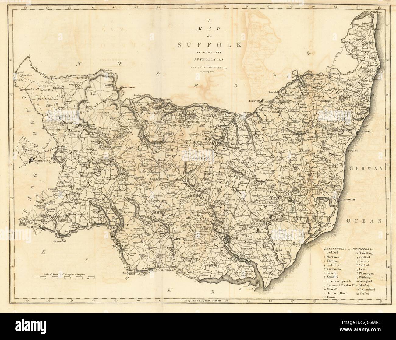
"A map of Suffolk from the best authorities". County map. CARY 1806 old
RFID:Image ID:2JC6MP5
Image details
Contributor:
Antiqua Print Gallery / Alamy Stock PhotoImage ID:
2JC6MP5File size:
91.3 MB (6.5 MB Compressed download)Releases:
Model - no | Property - noDo I need a release?Dimensions:
6354 x 5023 px | 53.8 x 42.5 cm | 21.2 x 16.7 inches | 300dpiDate taken:
1806Location:
SuffolkMore information:
This image could have imperfections as it’s either historical or reportage.
A map of Suffolk from the best authorities. Artist/engraver/cartographer: John Cary. Provenance: "Britannia: or, a chorographical description of the flourishing kingdoms of England, Scotland and Ireland, and the islands adjacent; from the earliest antiquity", by William Camden. Translated from the edition published by the author in MDCVII. Enlarged by the latest discoveries, by Richard Gough. London: printed by John Nichols, for T. Payne and Son, Castle-Street, St. Martin's and G.G.J. and J. Robinson, Pater-Noster Row MDCCLXXXIX. Type: Antique copperplate map.