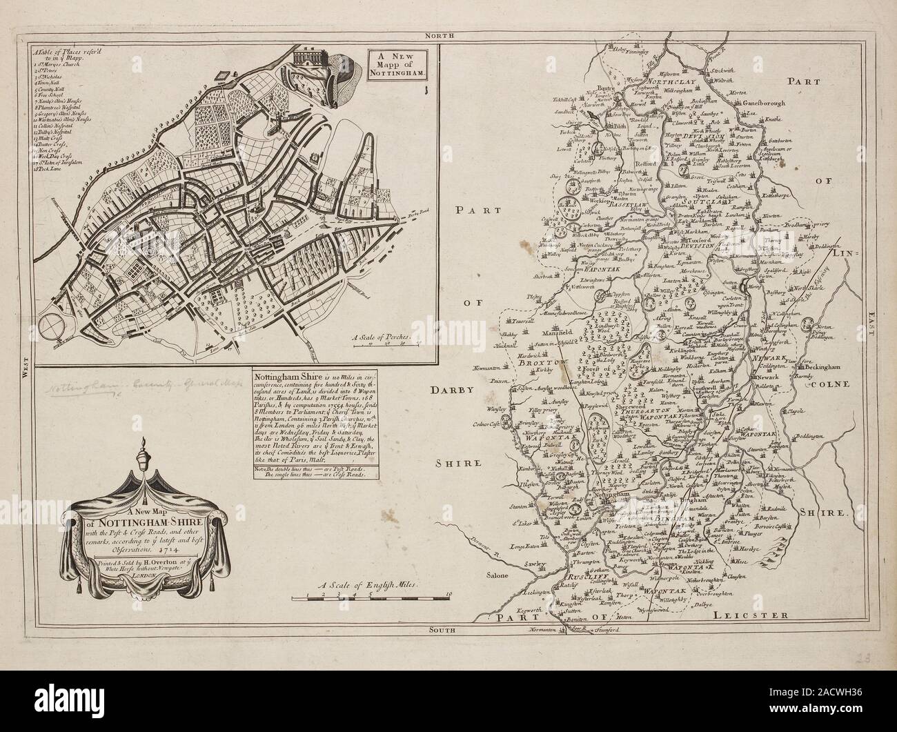
A Map of Nottinghamshire and a plan of Nottingham, H. Overton, 1714. A collection of 37 Maps of the counties of England, being reprints, of J. Speeds
RMID:Image ID:2ACWH36
Image details
Contributor:
Science Photo Library / Alamy Stock PhotoImage ID:
2ACWH36File size:
50 MB (3 MB Compressed download)Releases:
Model - no | Property - noDo I need a release?Dimensions:
4836 x 3614 px | 40.9 x 30.6 cm | 16.1 x 12 inches | 300dpiDate taken:
10 February 2014Photographer:
BRITISH LIBRARY/SCIENCE PHOTO LIBRARYMore information:
A Map of Nottinghamshire and a plan of Nottingham, H. Overton, 1714. A collection of 37 Maps of the counties of England, being reprints, of J. Speeds maps, by Henry Overton, together with those of P. Stent reprinted by John Overton, and maps of Derbyshire and Yorkshire engraved by S. Nicholls. Illustrated by J Speed, P Stent.