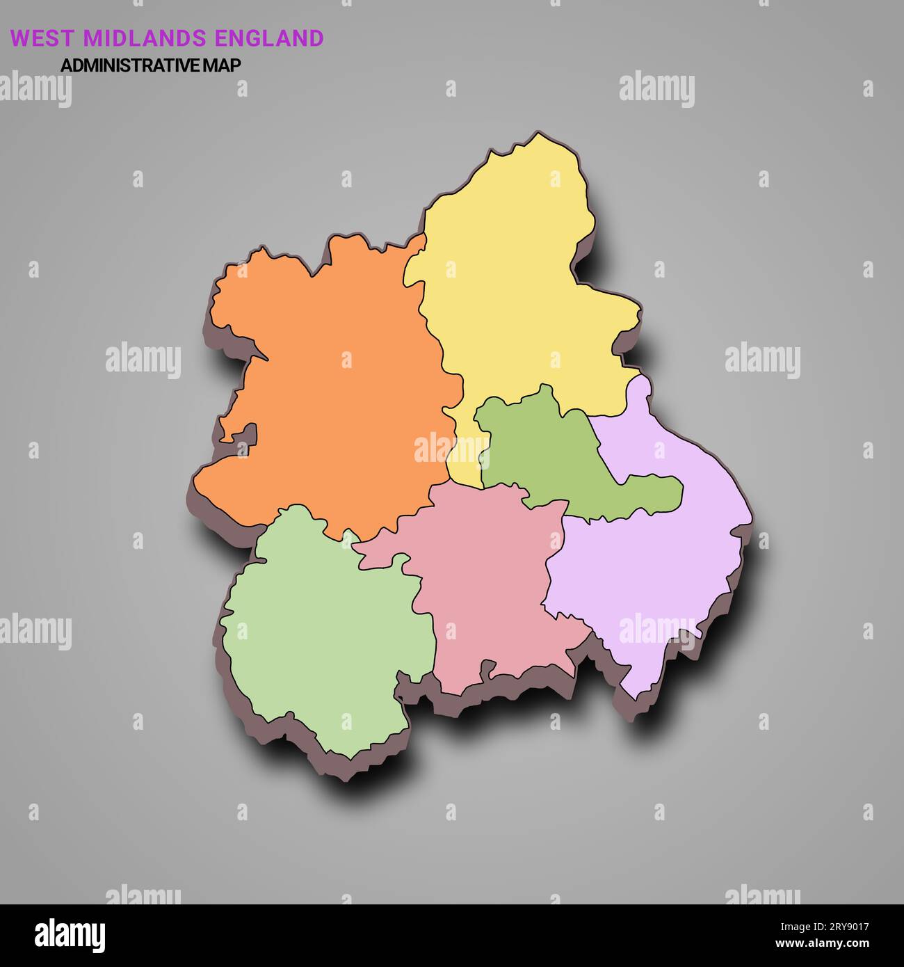
3d map of West Midlands England is a region of England, with borders of the ceremonial counties and different colour.
RFID:Image ID:2RY9017
Image details
Contributor:
md shoeb ansari / Alamy Stock PhotoImage ID:
2RY9017File size:
185.3 MB (888.2 KB Compressed download)Releases:
Model - no | Property - noDo I need a release?Dimensions:
8048 x 8048 px | 68.1 x 68.1 cm | 26.8 x 26.8 inches | 300dpiDate taken:
6 February 2023Location:
West Midlands