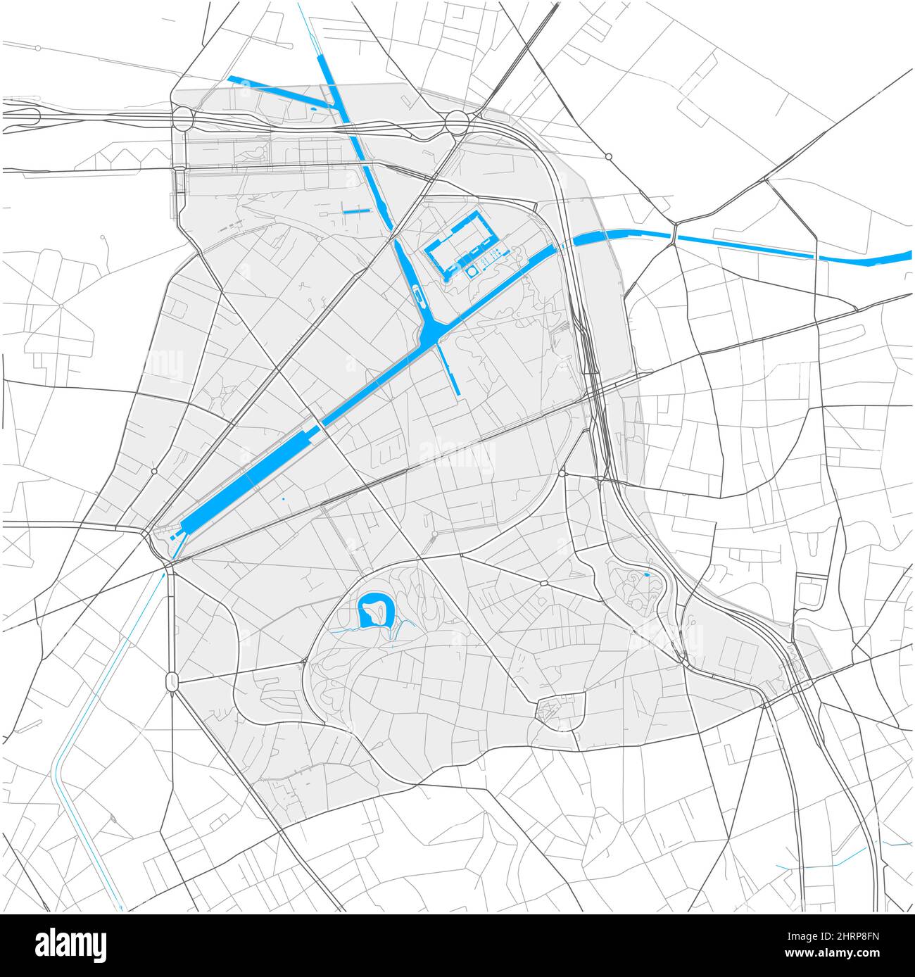
19th Arrondissement, Paris, FRANCE, high detail vector map with city boundaries and editable paths. White outlines for main roads. Many smaller paths.
RFID:Image ID:2HRP8FN
Image details
Contributor:
nestign / Alamy Stock VectorImage ID:
2HRP8FNReleases:
Model - no | Property - noDo I need a release?Date created:
24 February 2022More information:
19th Arrondissement, Paris, FRANCE, high detail vector map with city boundaries and editable paths. White outlines for main roads. Many smaller paths. Blue shapes and lines for water.