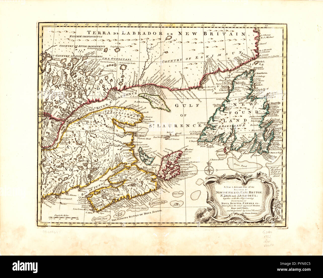
Vintage Maps / Antique Maps - A new & accurate map of the islands of Newfoundland, Cape Breton, St. John and Anticosta; together with the neighbouring countries of Nova Scotia, Canada
RMID:Image ID:PYNEC5
Image details
Contributor:
Hum Images / Alamy Stock PhotoImage ID:
PYNEC5File size:
81.5 MB (5.7 MB Compressed download)Releases:
Model - no | Property - noDo I need a release?Dimensions:
6000 x 4746 px | 50.8 x 40.2 cm | 20 x 15.8 inches | 300dpiDate taken:
28 April 2016More information:
This image could have imperfections as it’s either historical or reportage.