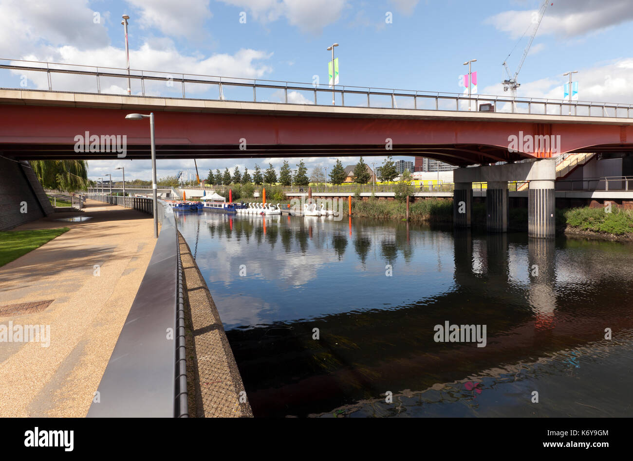
View of the River Lea, looking towards the bridge carrying Stratford Walk, in the Queen Elizabeth Olympic Park, Stratford, London
Image details
Contributor:
John Gaffen / Alamy Stock PhotoImage ID:
K6Y9GMFile size:
57.1 MB (2 MB Compressed download)Releases:
Model - no | Property - noDo I need a release?Dimensions:
5496 x 3630 px | 46.5 x 30.7 cm | 18.3 x 12.1 inches | 300dpiDate taken:
12 September 2017Location:
Queen Elizabeth Olympic Park, London, United KingdomMore information:
The River Lea in England originates in Marsh Farm, Leagrave, Luton in the Chiltern Hills and flows generally southeast, east, and then south through east London where it meets the River Thames, the last section being known as Bow Creek. It is one of the largest rivers in London and the easternmost major tributary of the Thames. Its valley creates a long chain of marshy ground along its lower length, much of which has been used for gravel and mineral extraction, reservoirs and industry. Much of the river has been canalised to provide a navigable route for boats into eastern Hertfordshire, known as the Lee Navigation. While the lower Lea remains somewhat polluted, its upper stretch and tributaries, classified as chalk streams, are a major source of drinking water for London. A diversion known as the New River, opened in 1613, abstracts clean water away from the lower stretch of the river for drinking. Its origins in the Chilterns contribute to the extreme hardness (high mineral content) of London tap water. Bow Creek is a 2.25-mile (3.6 km) long tidal estuary of the English River Lea and is part of the Bow Back Rivers. Below Bow Locks the creek forms the boundary between the London Boroughs of Newham and Tower Hamlets, in East London. Access from the creek to Bow Back Rivers was altered in the 1930s as part of an upgrade carried out to improve the waterways and to provide employment. The Prescott Channel was constructed to bypass the tide mills, and gave access from the creek to the Three Mills Wall River and the Waterworks River. The lock and sluice structure at the mouth of the new channel became disused in the 1960s and was subsequently removed, but a new structure capable of handling 350-tonne barges has been built as part of the upgrade to the waterways for the 2012 Summer Olympics, recreating a navigable connection been the creek and the Bow Back Rivers. The creek gave access to Abbey Creek and the Channelsea River, which connected to the old course of the River