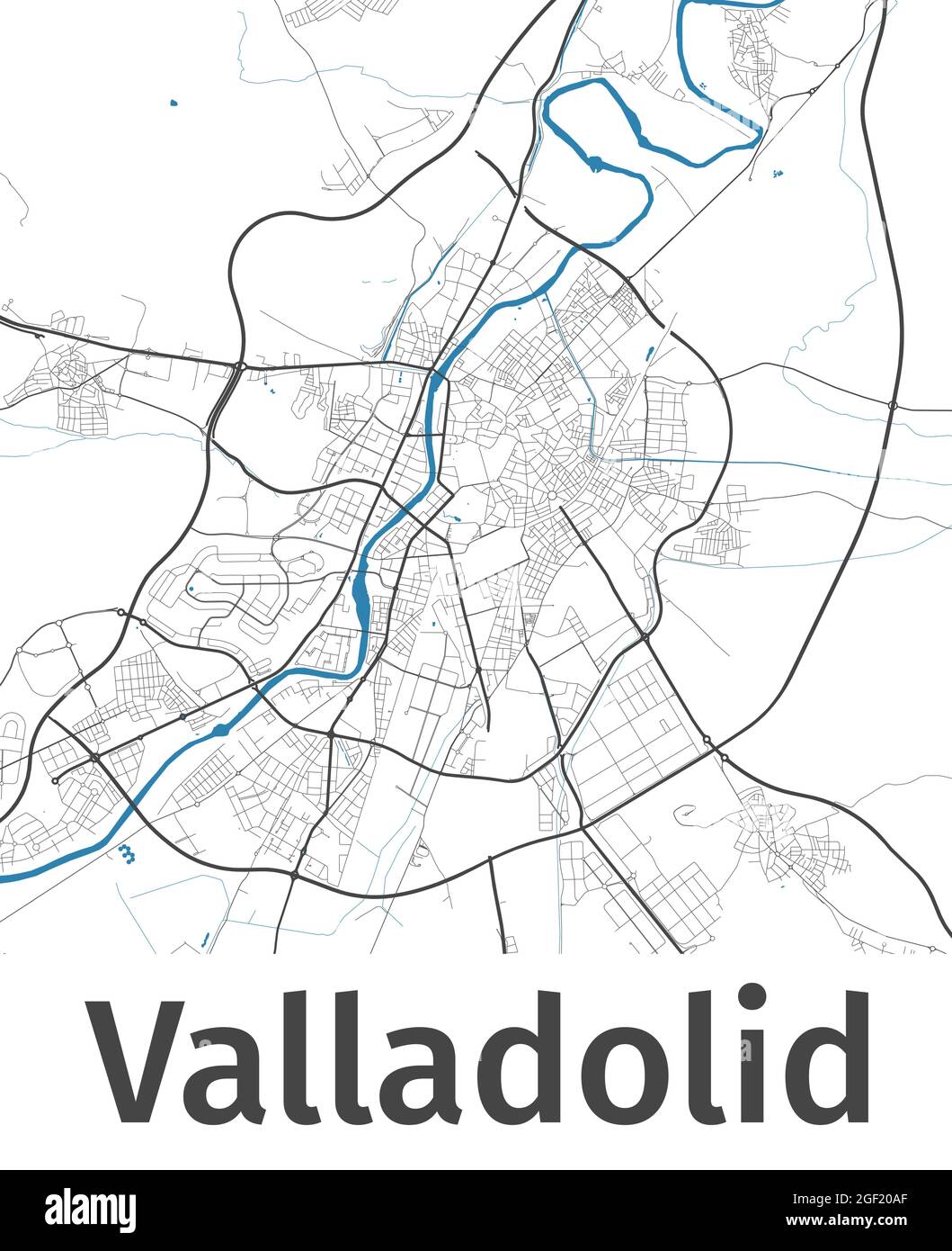
Valladolid map. Detailed map of Valladolid city administrative area. Cityscape panorama. Royalty free vector illustration. Outline map with highways,
RFID:Image ID:2GF20AF
Image details
Contributor:
Kostiantyn Levin / Alamy Stock VectorImage ID:
2GF20AFReleases:
Model - no | Property - noDo I need a release?Date created:
22 August 2021More information:
Valladolid map. Detailed map of Valladolid city administrative area. Cityscape panorama. Royalty free vector illustration. Outline map with highways, streets, rivers. Tourist decorative street map.