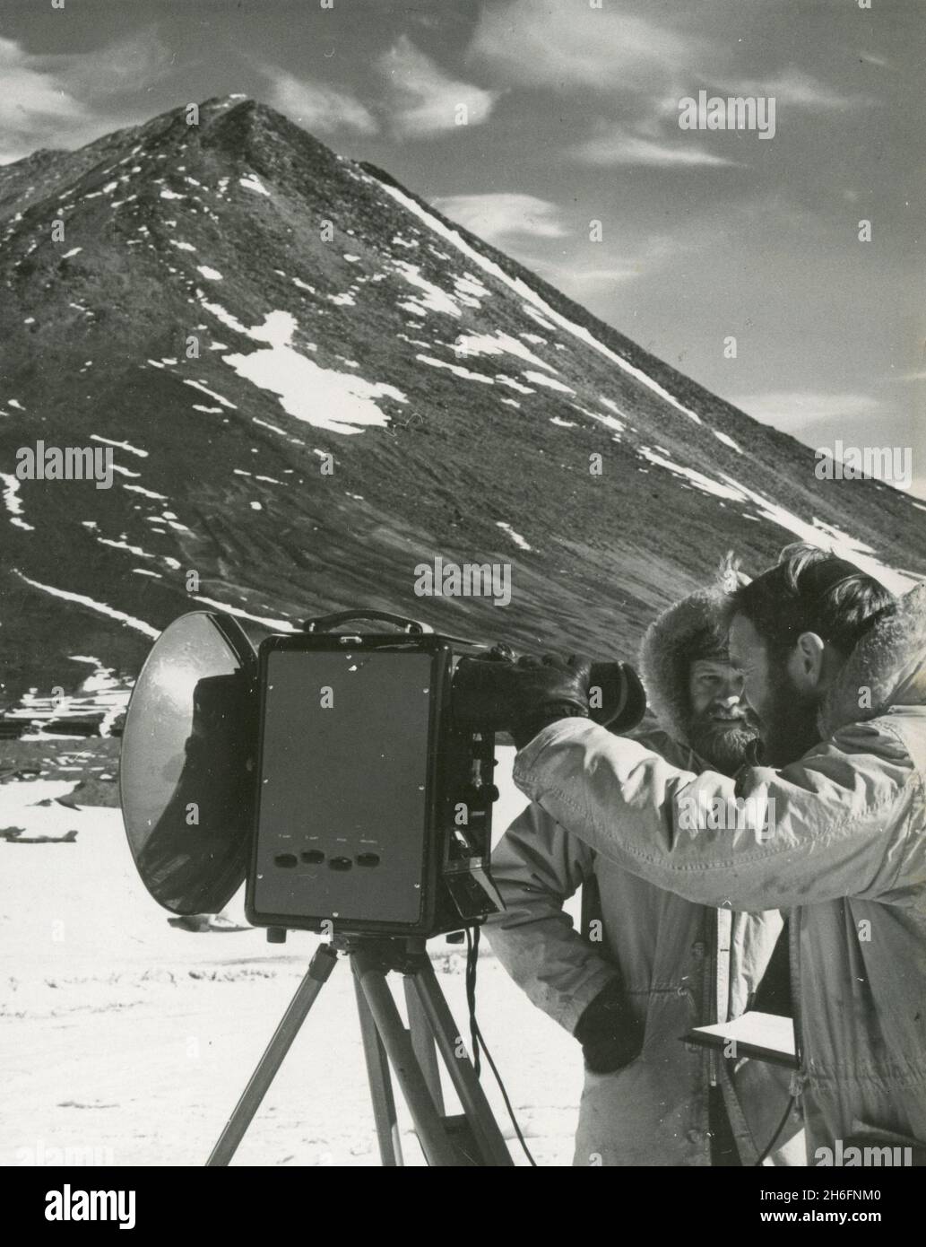
Topographic engineers of the US Geological Survey George Staeffler and Leslie Robinson using a tellurometer to map Antarctica, Ross Sea 1962
RMID:Image ID:2H6FNM0
Image details
Contributor:
colaimages / Alamy Stock PhotoImage ID:
2H6FNM0File size:
36.4 MB (1.4 MB Compressed download)Releases:
Model - no | Property - noDo I need a release?Dimensions:
3179 x 4000 px | 26.9 x 33.9 cm | 10.6 x 13.3 inches | 300dpiPhotographer:
ColaimagesMore information:
This image could have imperfections as it’s either historical or reportage.