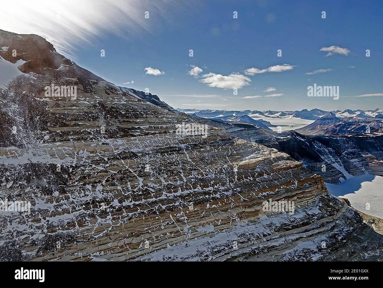
This image of the Transantarctic Mountains was taken from the NASA P-3 airborne laboratory on November 27, 2013, near the end of the 2013 IceBridge Antarctic campaign. NASA's Operation IceBridge images Earth's polar ice in unprecedented detail to better understand processes that connect the polar regions with the global climate system. IceBridge utilizes a highly specialized fleet of research aircraft and the most sophisticated suite of innovative science instruments ever assembled to characterize annual changes in thickness of sea ice, glaciers, and ice sheets. In addition, IceBridge collects
Image details
Contributor:
Abaca Press / Alamy Stock PhotoImage ID:
2E01GXXFile size:
25.1 MB (1.2 MB Compressed download)Releases:
Model - no | Property - noDo I need a release?Dimensions:
3586 x 2447 px | 30.4 x 20.7 cm | 12 x 8.2 inches | 300dpiDate taken:
3 December 2013Photographer:
ABACAPRESSMore information:
This image could have imperfections as it’s either historical or reportage.
This image of the Transantarctic Mountains was taken from the NASA P-3 airborne laboratory on November 27, 2013, near the end of the 2013 IceBridge Antarctic campaign. NASA's Operation IceBridge images Earth's polar ice in unprecedented detail to better understand processes that connect the polar regions with the global climate system. IceBridge utilizes a highly specialized fleet of research aircraft and the most sophisticated suite of innovative science instruments ever assembled to characterize annual changes in thickness of sea ice, glaciers, and ice sheets. In addition, IceBridge collects critical data used to predict the response of earth's polar ice to climate change and resulting sea-level rise. IceBridge also helps bridge the gap in polar observations between NASA's ICESat satellite missions. Hand Out Photo by Michael Studinger/NASA/ABACAPRESS.COM