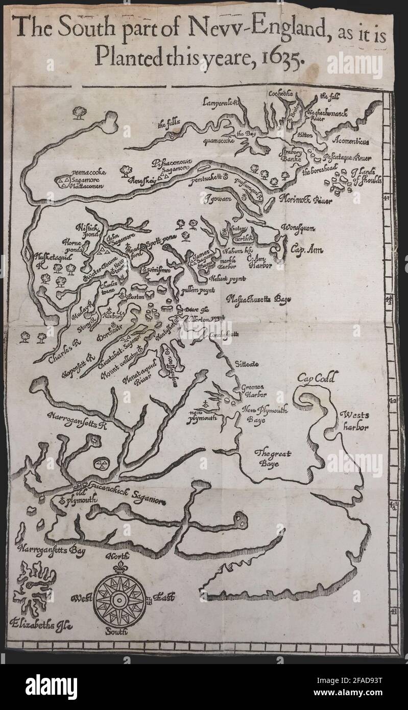
The south part of New England, as it is planted this yeare, 1635
RFID:Image ID:2FAD93T
Image details
Contributor:
Antiqua Print Gallery / Alamy Stock PhotoImage ID:
2FAD93TFile size:
15.2 MB (764.1 KB Compressed download)Releases:
Model - no | Property - noDo I need a release?Dimensions:
1805 x 2934 px | 15.3 x 24.8 cm | 6 x 9.8 inches | 300dpiDate taken:
1635Location:
MassachusettsMore information:
This image could have imperfections as it’s either historical or reportage.
An early colonial map of part Plymouth Colony and Massachusetts Bay by William Wood. The map was published in 1635 in "New England's Prospect. A true, lively, and experimentall description of that part of America, commonly called New England: discovering the state of that Countrie, both as it stands to our new-come English Planters; and to the old Native Inhabitants. Laying downe that which may both enrich the knowledge of the mind-travelling Reader, or benefit the future-Voyager."