The Scottish Highlands (SC18)
Image details
Contributor:
Rik Hamilton / Alamy Stock PhotoImage ID:
P93DRFFile size:
95.7 MB (5 MB Compressed download)Releases:
Model - no | Property - noDo I need a release?Dimensions:
7079 x 4725 px | 59.9 x 40 cm | 23.6 x 15.8 inches | 300dpiDate taken:
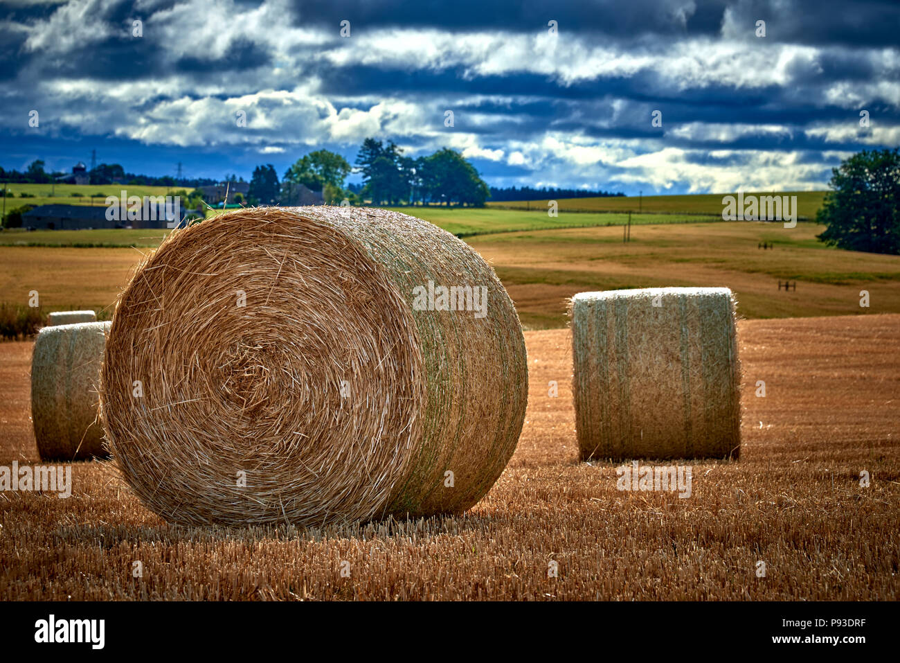
8 July 2018Location:
The Scottish HighlandsMore information:
The Scottish Highlands are a historic region of Scotland. Culturally, the Highlands and the Lowlands diverged from the later Middle Ages into the modern period, when Lowland Scots replaced Scottish Gaelic throughout most of the Lowlands. The term is also used for the area north and west of the Highland Boundary Fault, although the exact boundaries are not clearly defined, particularly to the east. The Great Glen divides the Grampian Mountains to the southeast from the Northwest Highlands. The Scottish Gaelic name of A' Ghàidhealtachd literally means "the place of the Gaels" and traditionally, from a Gaelic-speaking point of view, includes both the Western Isles and the Highlands. The area is very sparsely populated, with many mountain ranges dominating the region, and includes the highest mountain in the British Isles, Ben Nevis. Before the 19th century the Highlands was home to a much larger population, but due to a combination of factors including the outlawing of the traditional Highland way of life following the Jacobite Rising of 1745, the infamous Highland Clearances, and mass migration to urban areas during the Industrial Revolution, the area is now one of the most sparsely populated in Europe. At 9.1 per km2 in 2012, the population density in the Highlands and Islands is less than one seventh of Scotland's as a whole, comparable with that of Bolivia, Chad and Russia. The Highland Council is the administrative body for much of the Highlands, with its administrative centre at Inverness. However, the Highlands also includes parts of the council areas of Aberdeenshire, Angus, Argyll and Bute, Moray, North Ayrshire, Perth and Kinross, Stirling and West Dunbartonshire. The Scottish highlands is the only area in the British Isles to have the taiga biome as it features concentrated populations of Scots pine forest: see Caledonian Forest.