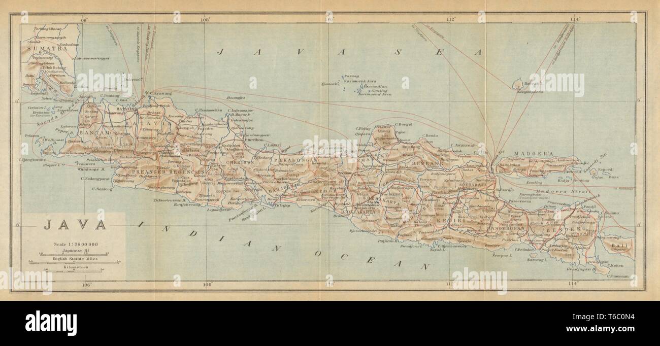
The island of Java. Dutch East Indies. Indonesia 1920 old vintage map chart
RFID:Image ID:T6C0N4
Image details
Contributor:
Antiqua Print Gallery / Alamy Stock PhotoImage ID:
T6C0N4File size:
20.3 MB (929.6 KB Compressed download)Releases:
Model - no | Property - noDo I need a release?Dimensions:
3942 x 1798 px | 33.4 x 15.2 cm | 13.1 x 6 inches | 300dpiDate taken:
1920Location:
IndonesiaMore information:
This image could have imperfections as it’s either historical or reportage.
Artist/engraver/cartographer: Imperial Japanese Government Railways. Provenance: "An Official Guide to Eastern Asia. Vol V - East Indies", prepared by the Imperial Japanese Government Railways, Tokyo, Japan. Second edition. Type: Antique colour map.