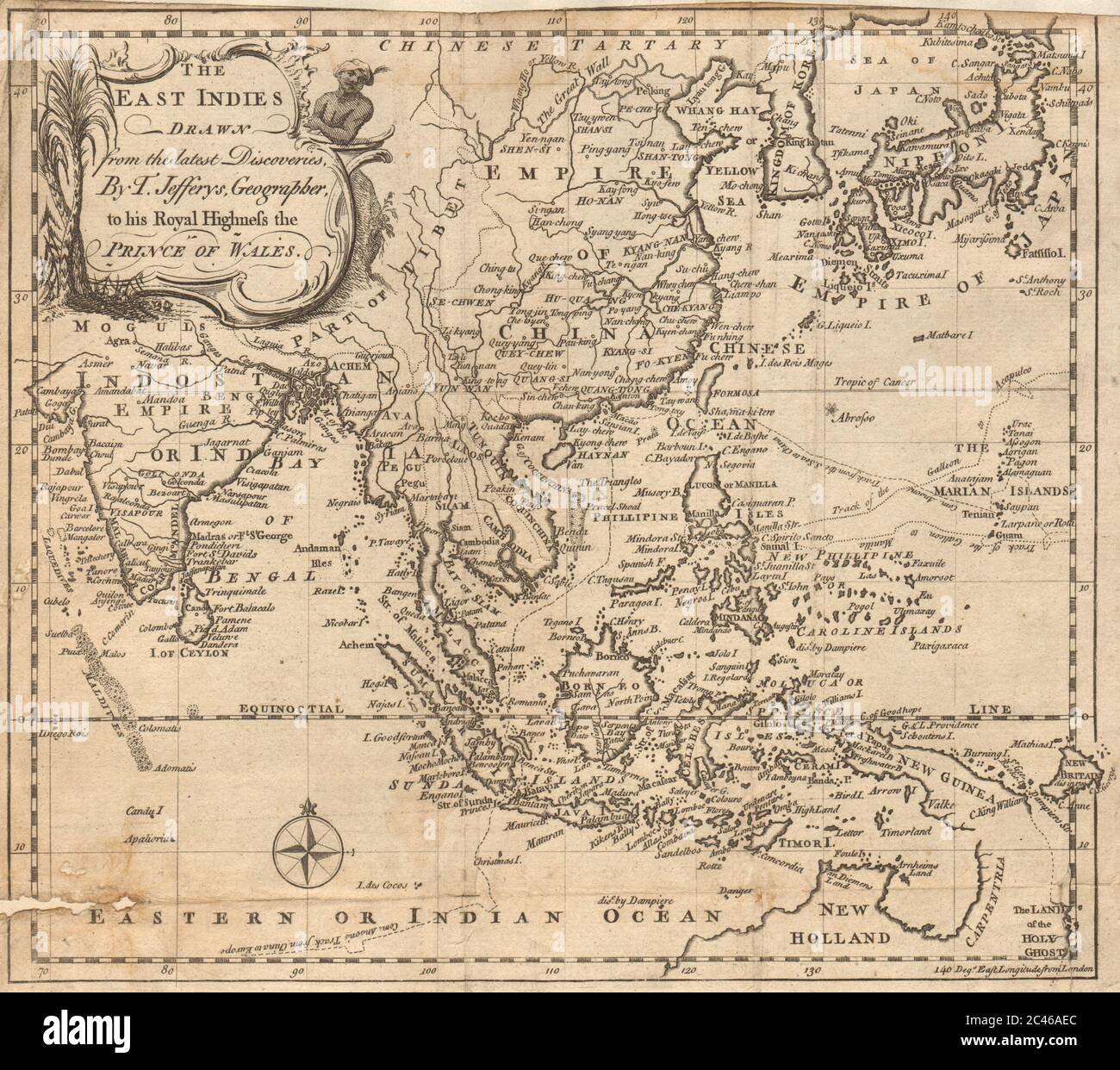
The East Indies drawn from the latest discoveries by T. Jefferys. Asia 1748 map
RFID:Image ID:2C46AEC
Image details
Contributor:
Antiqua Print Gallery / Alamy Stock PhotoImage ID:
2C46AECFile size:
24.5 MB (1.9 MB Compressed download)Releases:
Model - no | Property - noDo I need a release?Dimensions:
3110 x 2756 px | 26.3 x 23.3 cm | 10.4 x 9.2 inches | 300dpiDate taken:
1748Location:
AsiaMore information:
This image could have imperfections as it’s either historical or reportage.
The East Indies, drawn from the latest discoveries, by T. Jefferys, Geographer to his Royal Highness the Prince of Wales. Artist/engraver/cartographer: Thomas Jefferys. Provenance: "Gentleman's Magazine and Historical Chronicle", by Sylvanus Urban, Gent. London: Printed by Edw. Cave, Jun. at St. John's Gate . Type: Antique copperplate map.