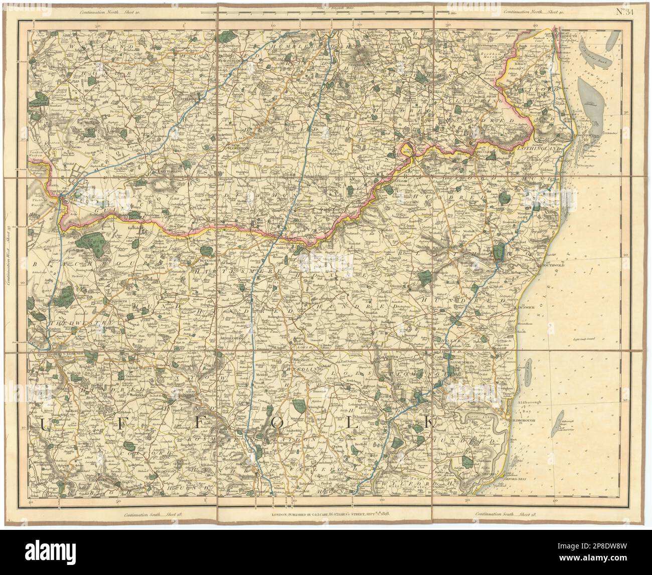
SUFFOLK COAST & HEATHS. Southern Norfolk Broads. Deben Stowmarket. CARY 1832 map
RFID:Image ID:2P8DW8W
Image details
Contributor:
Antiqua Print Gallery / Alamy Stock PhotoImage ID:
2P8DW8WFile size:
375.7 MB (21.7 MB Compressed download)Releases:
Model - no | Property - noDo I need a release?Dimensions:
12706 x 10335 px | 107.6 x 87.5 cm | 42.4 x 34.5 inches | 300dpiDate taken:
1832Location:
Suffolk & NorfolkMore information:
This image could have imperfections as it’s either historical or reportage.
[Sheet 34 - Northern Suffolk, South East Norfolk. Southern part of the Norfolk Broads]. Artist/engraver/cartographer: George & John Cary. Provenance: "Cary's Improved Map of England and Wales, with a considerable portion of Scotland, planned upon a scale of two statute miles to one inch, drawn from the most Authentic Surveys and Parliamentary Documents", Published by G. and J. Cary, 86 St James's Street, London. Type: Large antique hand-coloured folding map dissected into 9 sections and laid on linen.