Quick filters:
Page 1 of 96
Korea peninsula Stock Photos and Images
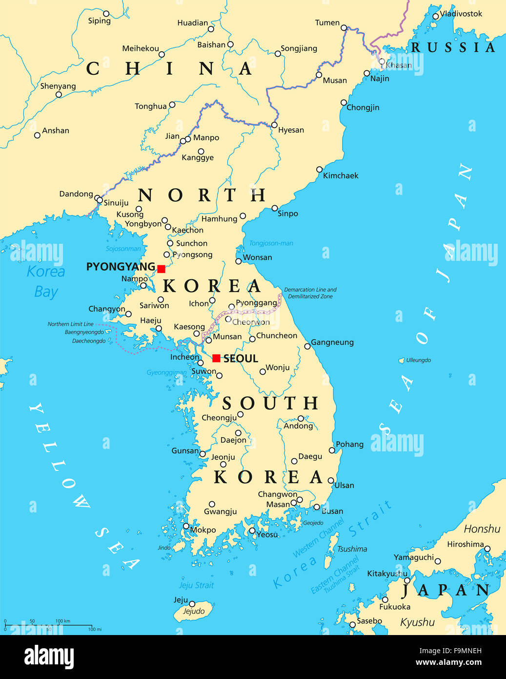
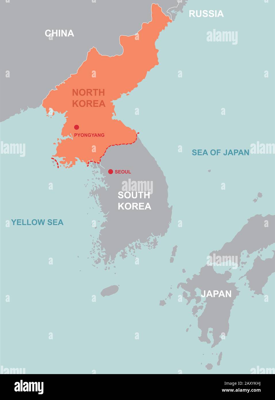
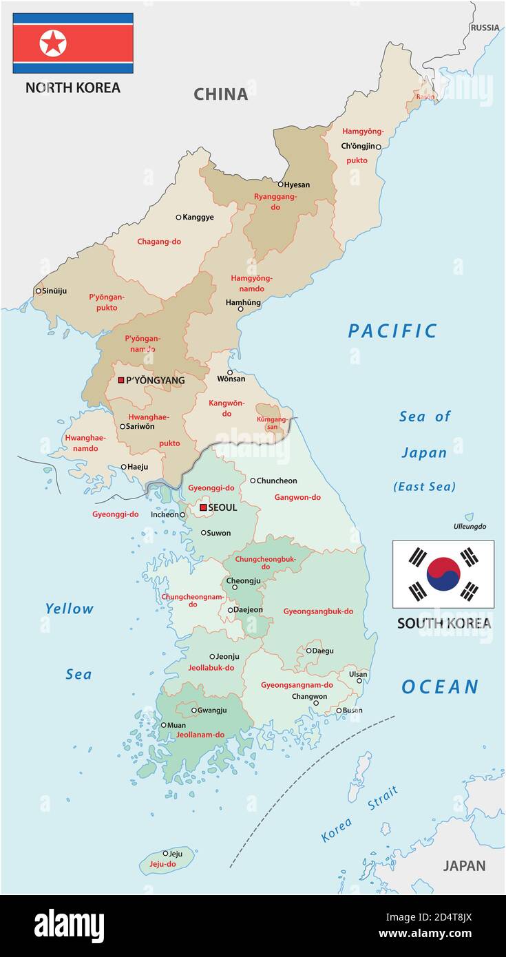
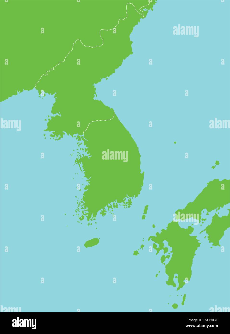
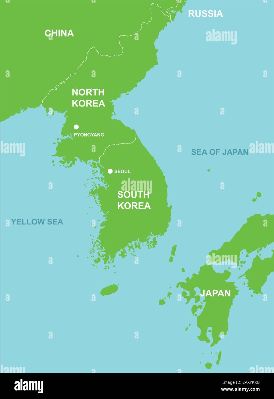
RFF9MNEH–Korean peninsula political map with North and South Korea and the capitals Pyongyang and Seoul.
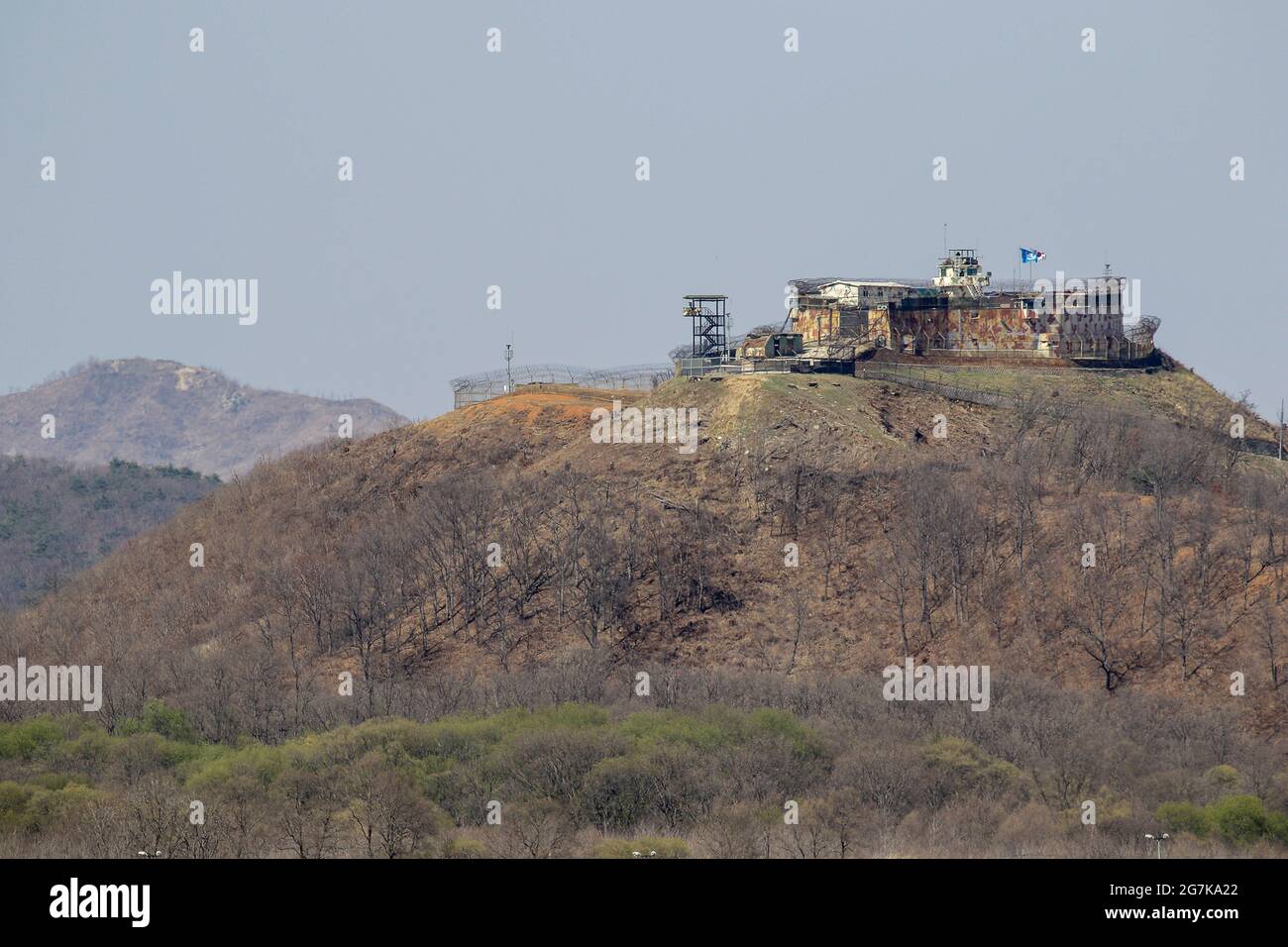
RM2G7KA22–April 11, 2018-Goyang, South Korea-A View of Korean War battle of white horse and the Civilian Control Line in Cheorwon, South Korea. The Battle of White Horse was another in a series of bloody battles for dominant hilltop positions during the Korean War. Baengma-goji was a 395-metre (1,296 ft) hill in the Iron Triangle, formed by Pyonggang at its peak and Gimhwa-eup and Cheorwon at its base, was a strategic transportation route in the central region of the Korean peninsula. White Horse was the crest of a forested hill mass that extended in a northwest-to-southeast direction for about two mile
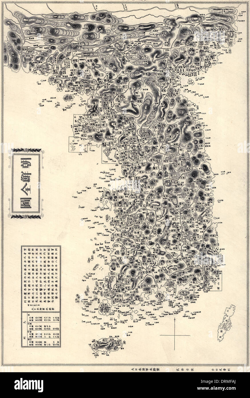
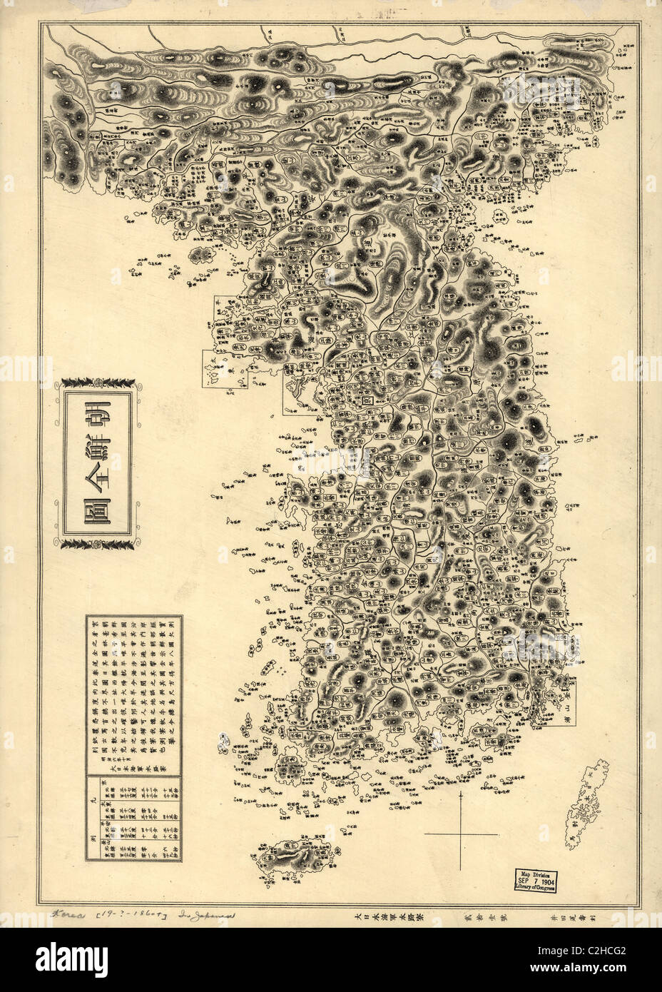
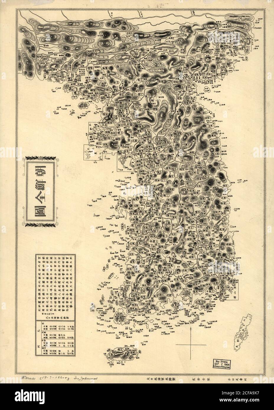
RMDRMFAJ–Map of the Korean Peninsula (Chosŏn Pando) published 1860. Also visible are Tsushima and Jeju Islands
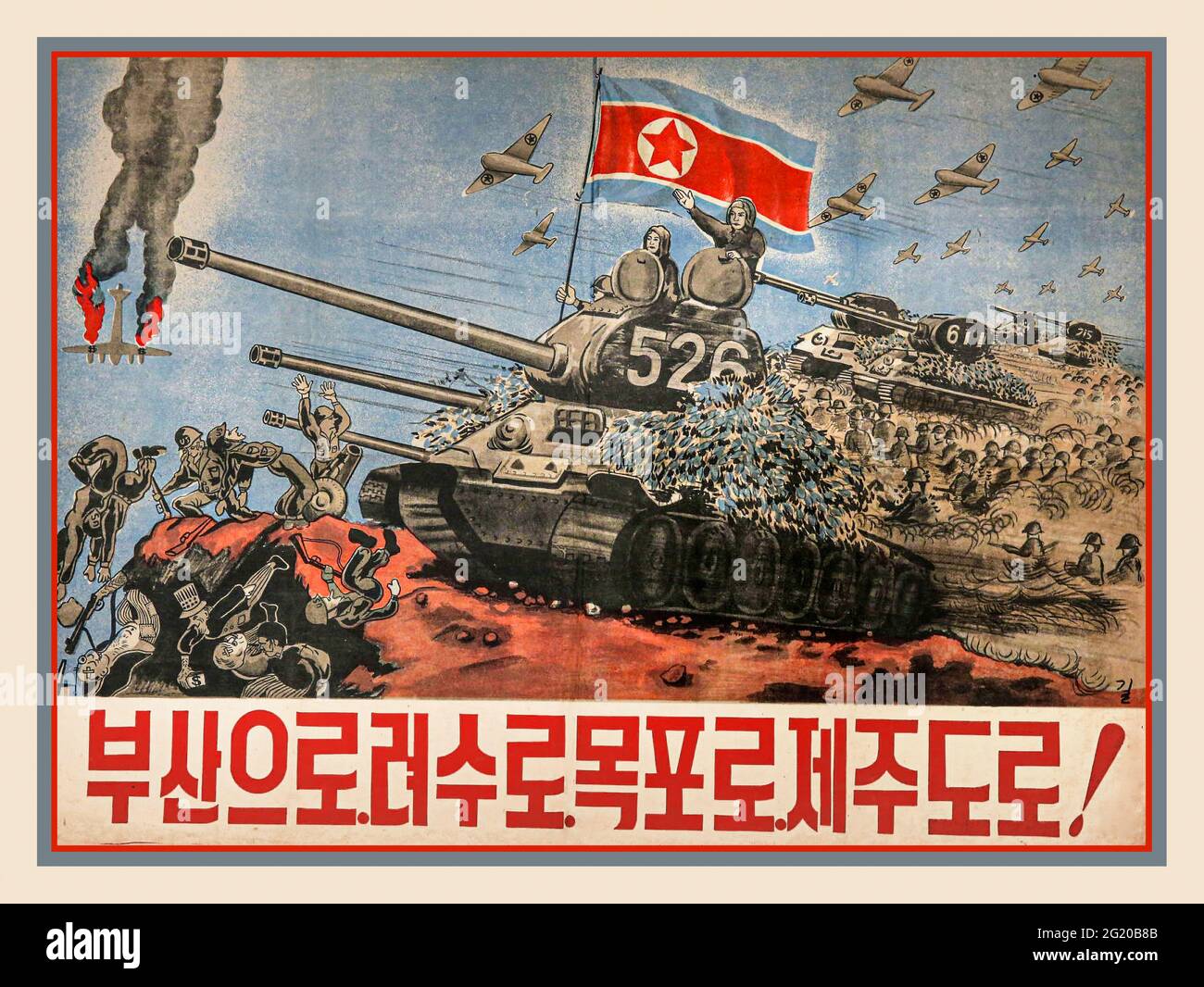
RM2G20B8B–1950’s North Korea Propaganda War Poster beating the imperialist armies of the USA 1950-1953 Korean Peninsula war. The Korean War was a war between North Korea, with military support from China and the Soviet Union, and South Korea, backed by personnel from the United Nations USA. The war began on 25 June 1950 when North Korea invaded South Korea following clashes along the border and insurrections in the south.
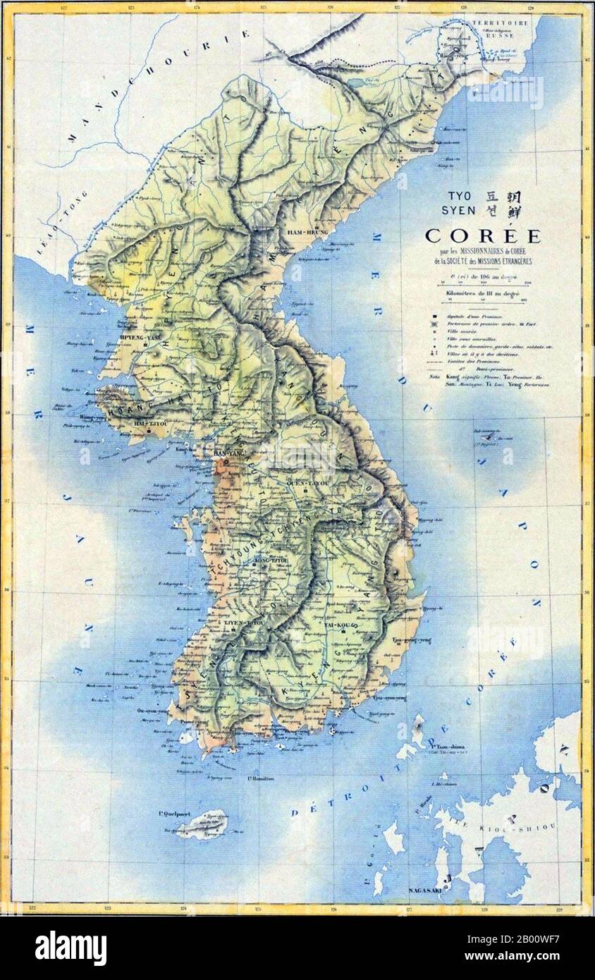
RM2B00WF7–Korea: 19th century French map of the Korean Peninsula. Japan began to force Korea out of the Manchu Qing Dynasty's traditional sphere of influence into its own in the 1870s. As a result of the Sino-Japanese War (1894–5), the Qing Dynasty had to give up such a position according to the Treaty of Shimonoseki, which was concluded between China and Japan in 1895. That same year, Korean Empress Myeongseong was assassinated by Japanese agents. In 1897, the Joseon dynasty proclaimed the Korean Empire (1897–1910), and King Gojong became Emperor Gojong.
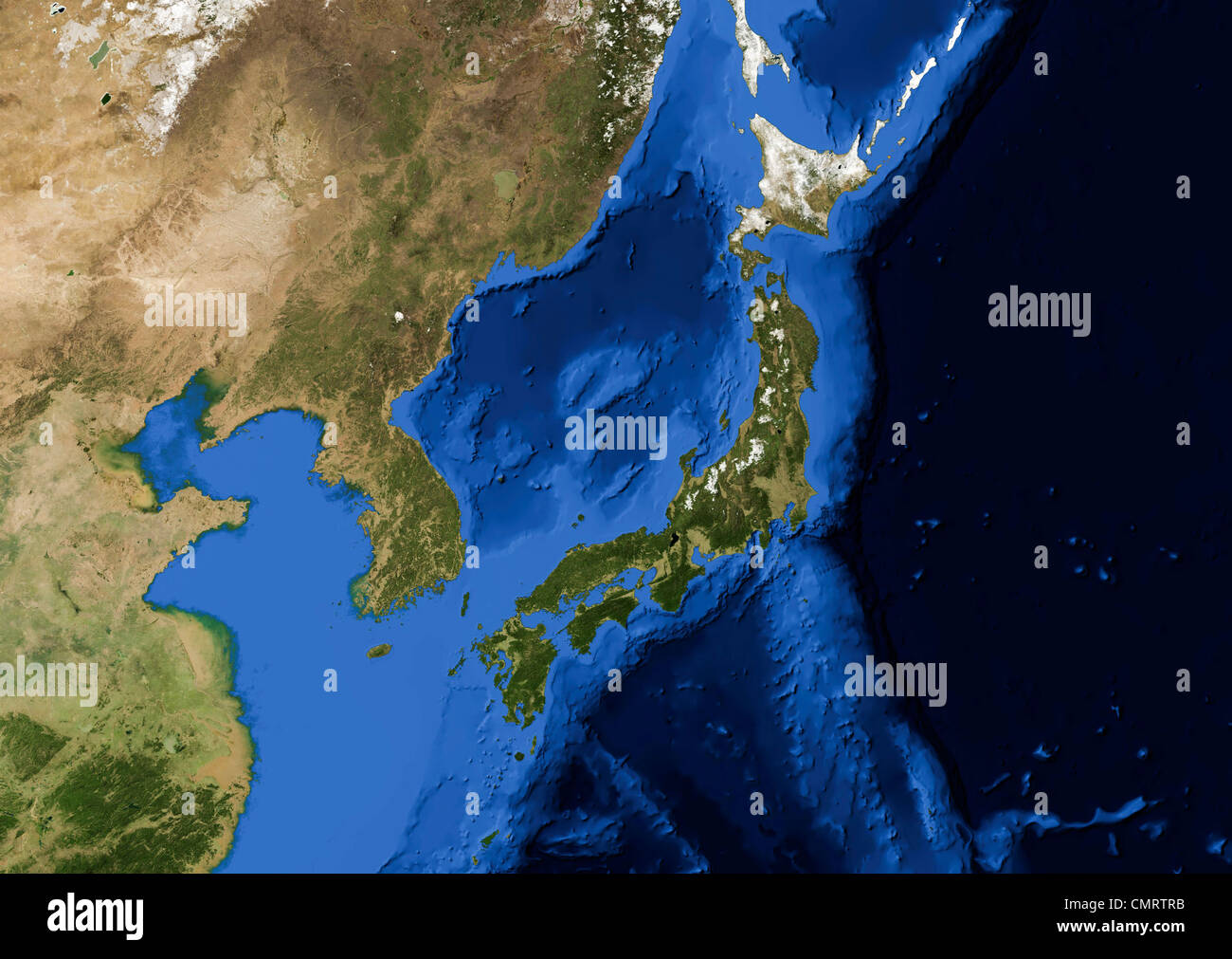
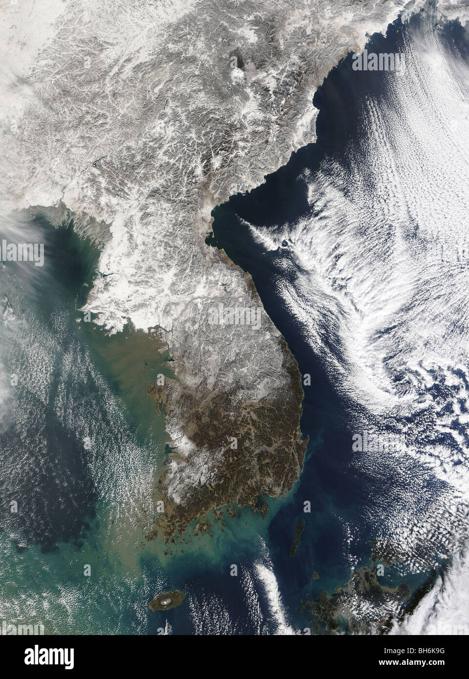
RMCMRTRB–True color Terra/MODIS satellite image of the Korean peninsula and Japan rendered in Lambert azimuthal equal area projection.
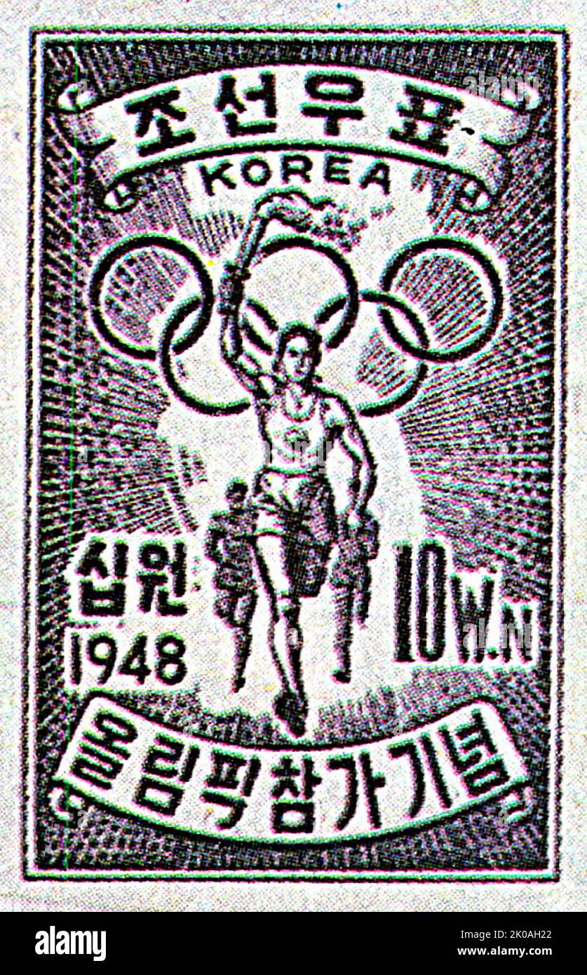
RM2K0AH22–It says: 'Joseon's stamp' with the Korean peninsula in the background: it was before the Korean war that divided the country. Some North Koreans still refer South Korea as South Joseon.
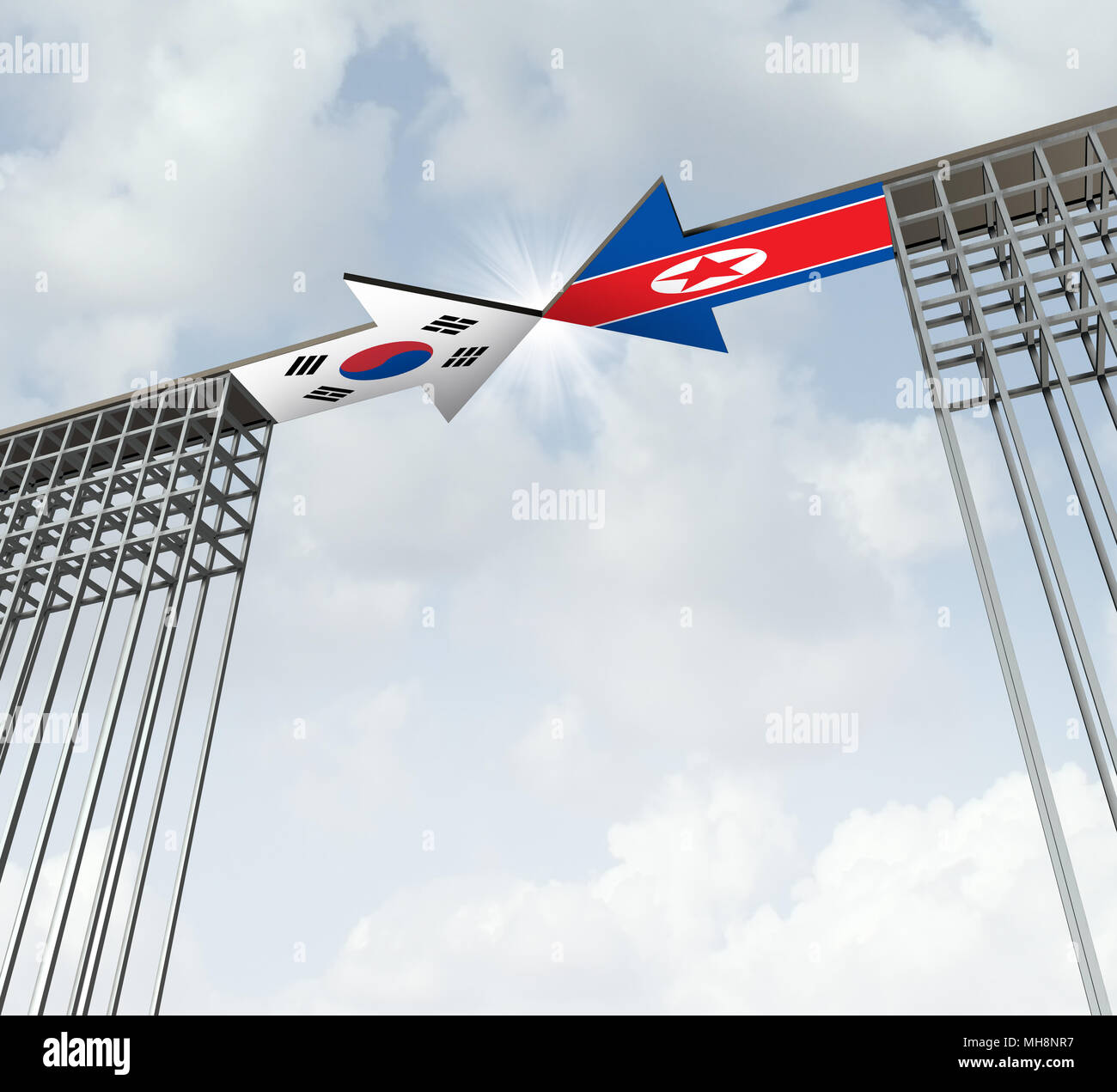
RFMH8NR7–South and North Korea peace agreement diplomatic success concept as an east asia diplomacy symbol for denuclearization on the korean peninsula.

RM2HG7FDB–South Korea,Korean Peninsula,Eastern Asia,Asian Far East,Eastern,Orient,Seoul,Lotte World,indoor,shopping shopper shoppers shop shops market markets m
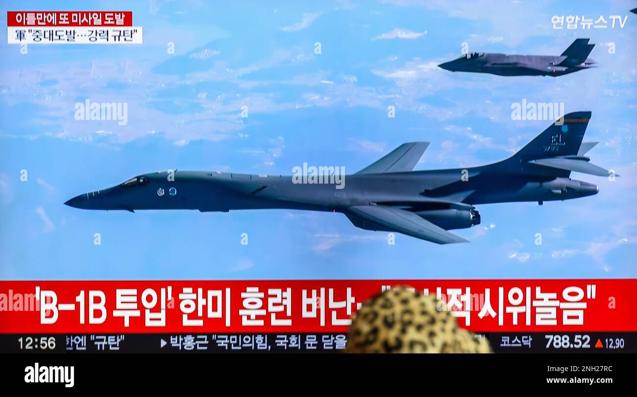
RM2NH27RC–Seoul, South Korea. 20th Feb, 2023. A tv screen showing a file image of US Air Force B-1B bomber and South Korea's Air Force F-35A fighter jet(Top) flying over the South Korea Peninsula during a news program at the Seoul Railway Station in Seoul. North Korea fired two short-range ballistic missiles (SRBMs) toward the East Sea on February 20. The South Korean military said a day after South Korea and the United States staged joint air drills, involving B-1B bombers, in response to the North's long-range missile launch. Credit: SOPA Images Limited/Alamy Live News
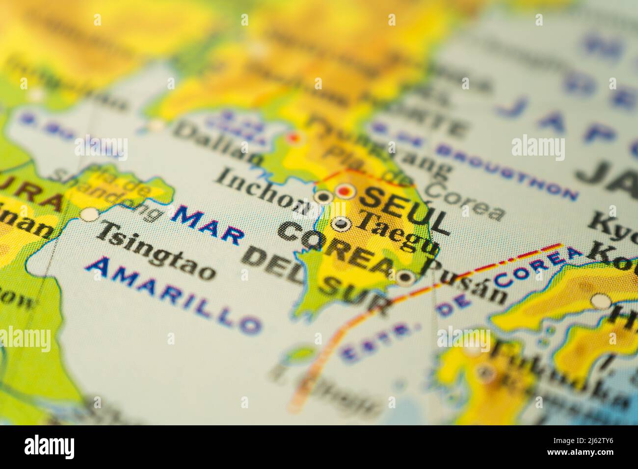
RF2J62TY6–Close-up of the orographic map of South Korea, with references in Spanish. Concept cartography, Travel, geography. Differential focus.
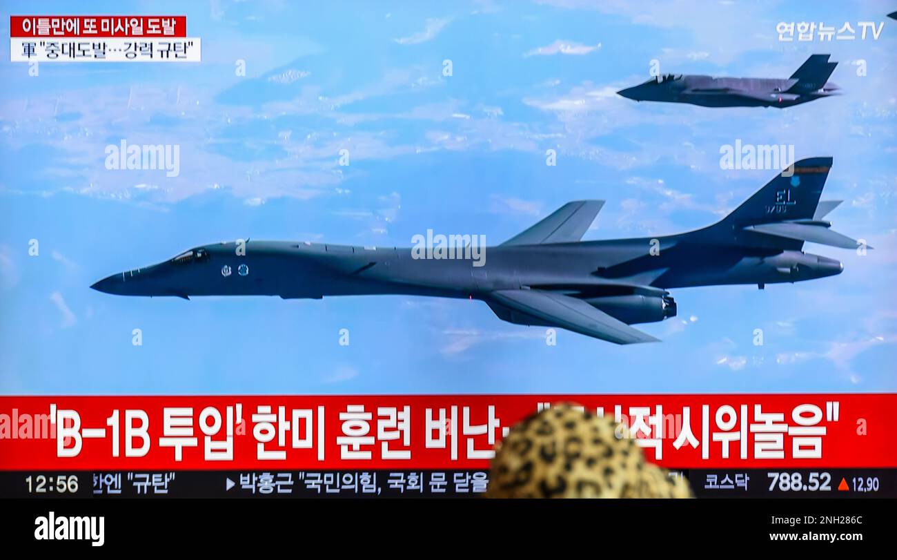
RM2NH286C–A tv screen showing a file image of US Air Force B-1B bomber and South Korea's Air Force F-35A fighter jet(Top) flying over the South Korea Peninsula during a news program at the Seoul Railway Station in Seoul. North Korea fired two short-range ballistic missiles (SRBMs) toward the East Sea on February 20. The South Korean military said a day after South Korea and the United States staged joint air drills, involving B-1B bombers, in response to the North's long-range missile launch. (Photo by Kim Jae-Hwan / SOPA Images/Sipa USA)
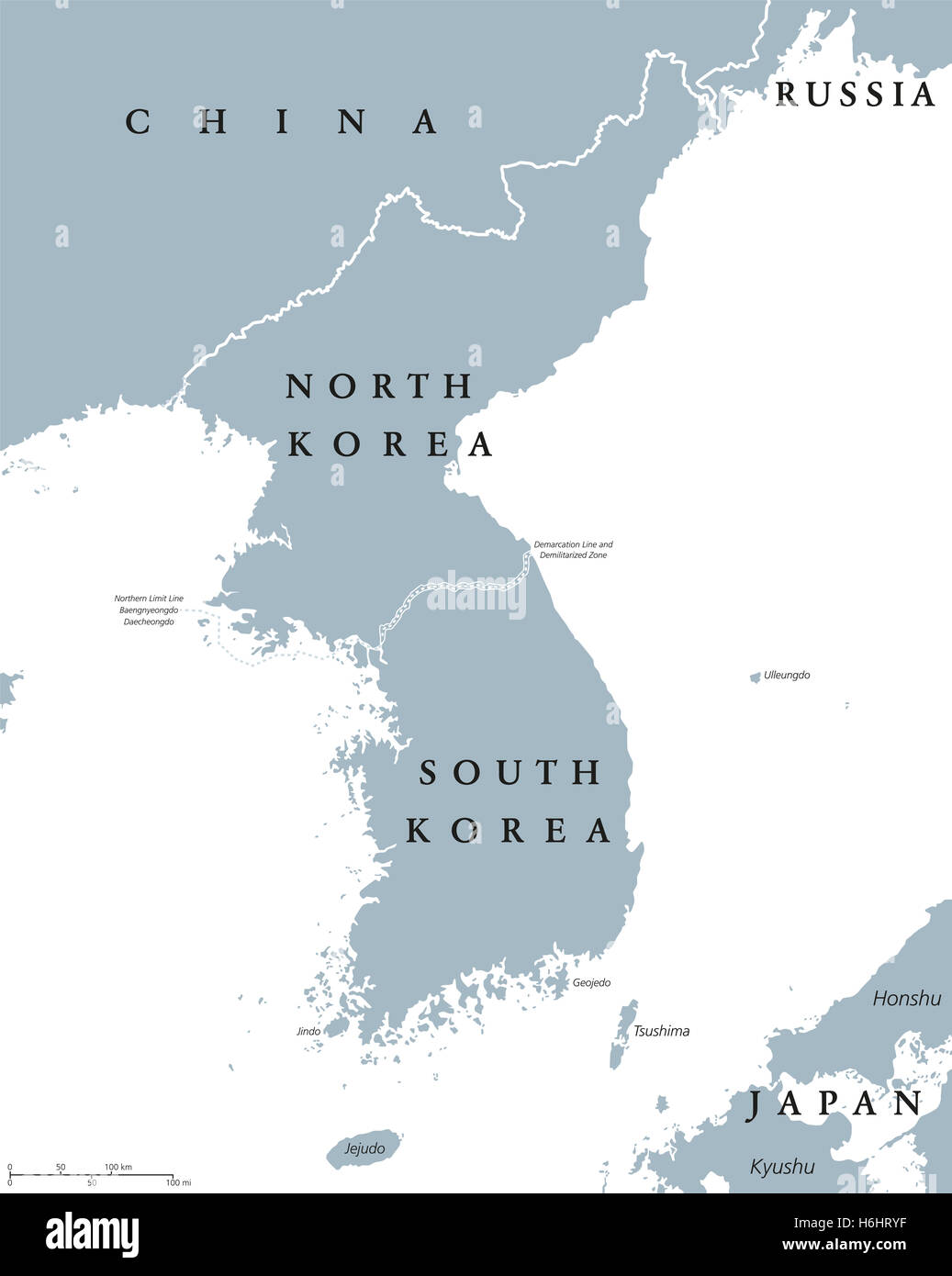
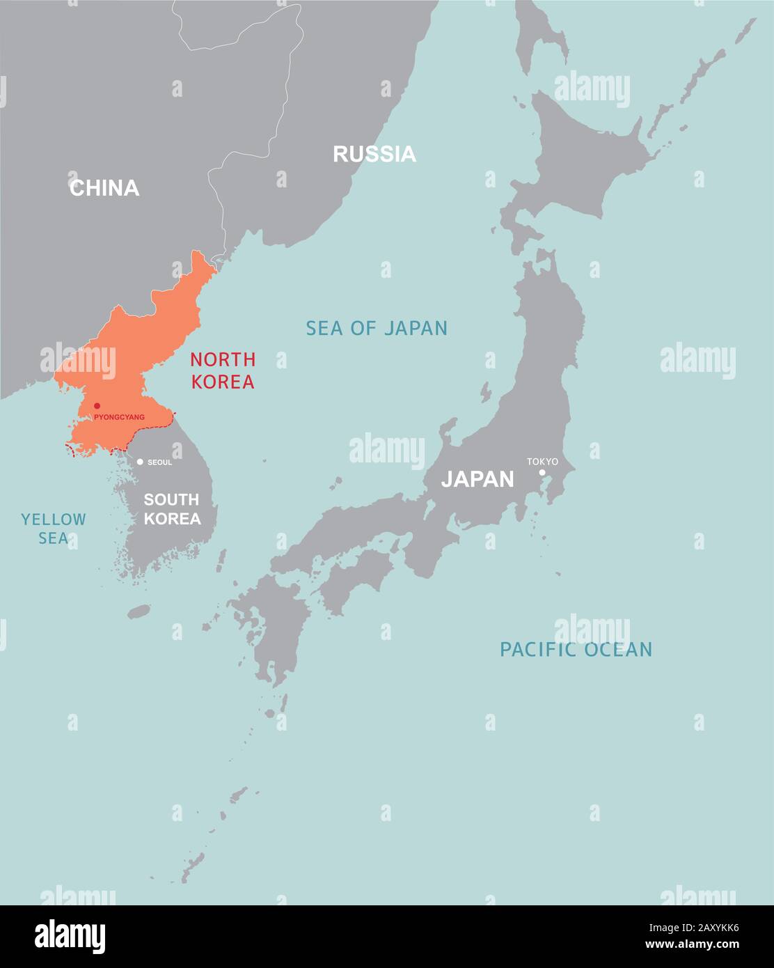
RFH6HRYF–Korean peninsula countries political map with North and South Korea and national borders. Gray illustration, English labeling.
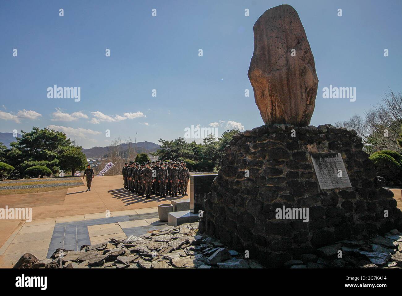
RM2G7KA14–April 11, 2018-Goyang, South Korea-South Korean Army soldiers visit battle of white horse memorial monument in Cheorwon, South Korea. The Battle of White Horse was another in a series of bloody battles for dominant hilltop positions during the Korean War. Baengma-goji was a 395-metre (1,296 ft) hill in the Iron Triangle, formed by Pyonggang at its peak and Gimhwa-eup and Cheorwon at its base, was a strategic transportation route in the central region of the Korean peninsula. White Horse was the crest of a forested hill mass that extended in a northwest-to-southeast direction for about two mile
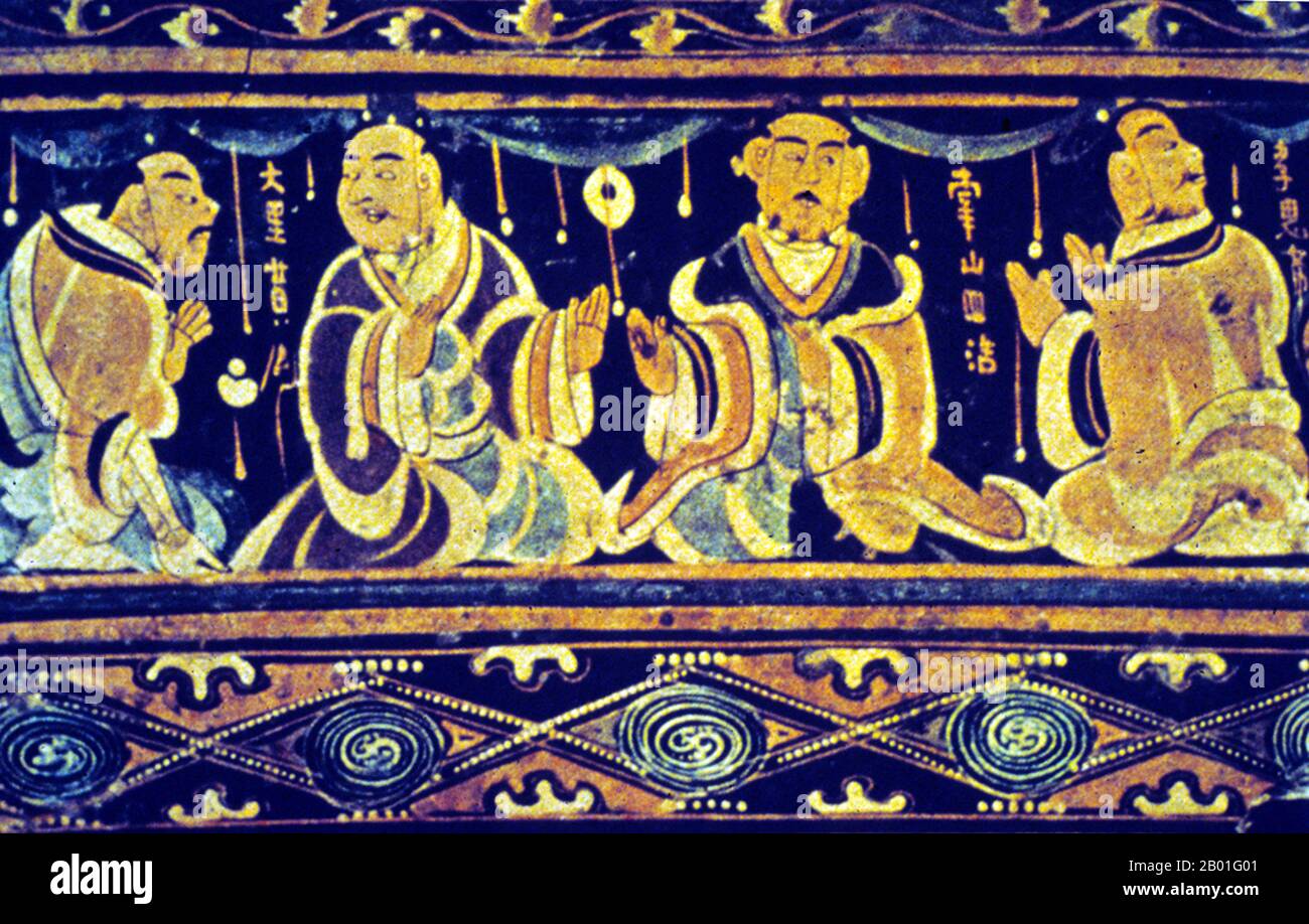
RM2B01G01–Korea: Lacquered Basket with Filial Piety (detail). From Tomb of Saikyo-Zuka, Pyongyang, Goguryeo Period. Scene from the tomb of the painted basket of Lo-lang, Saikyozuka, Pyongyang, Korea. Goguryeo or Koguryŏ was an ancient Korean kingdom located in present day northern and central parts of the Korean Peninsula, southern Manchuria, and southern Russian Maritime province. Along with Baekje and Silla, Goguryeo was one of the Three Kingdoms of Korea. Goguryeo was an active participant in the power struggle for control of the Korean peninsula.
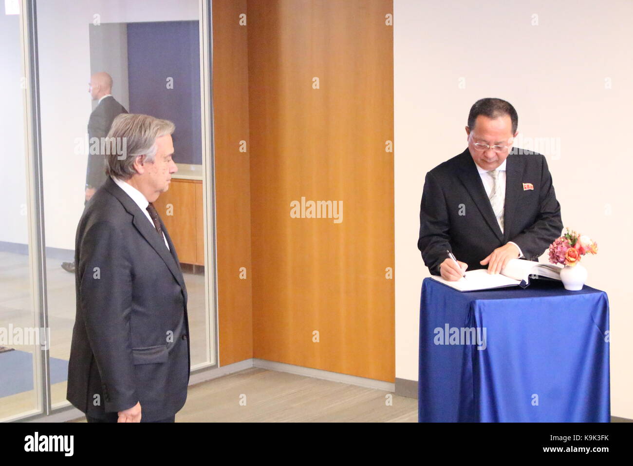
RMK9K3FK–UN, New York, USA. 23rd Sept, 2017. North Korea's Foreign Minister Ri Yong Ho met UN Sec-Gen Antonio Guterres amid mounting tensions on the Korea Peninsula. Photo: Matthew Russell Lee / Inner City Press
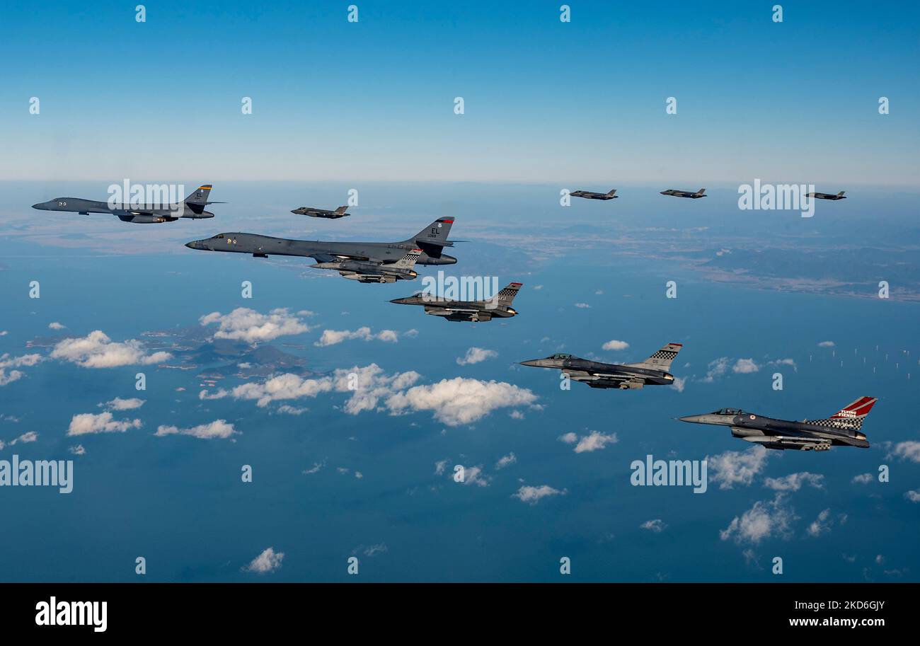
RM2KD6GJY–Osan Air Force Base, South Korea. 05th Nov, 2022. U.S. Air Force F-16 Fighting Falcon fighter jets, assigned to the 51st Fighter Wing and a Republic of Korea Air Force F-35A stealth fighter aircraft, fly an escort patrol with two USAF B-1B strategic stealth bombers during exercise Vigilant Storm, November 5, 2022 over the Korean Peninsula. Credit: SSgt. Dwane Young/US Air Force/Alamy Live News
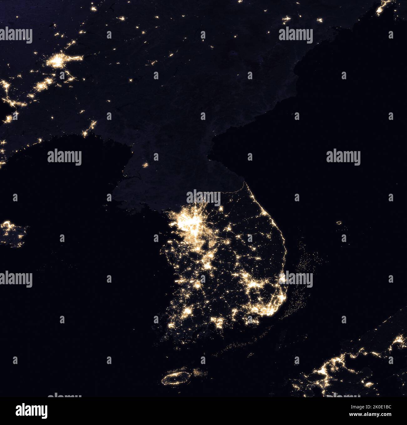
RM2K0E1BC–Korean peninsula and Chinese border areas at night. The stark contrast is evident in this 2016 satellite image of the abundance of city lights in South Korea and the absence of electric power in North Korea.
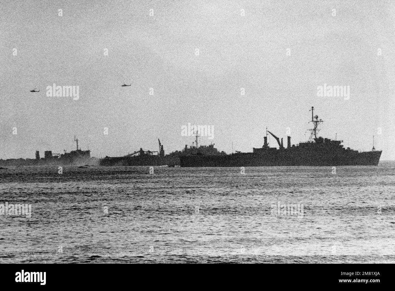
RM2M81XJA–Silhouetted starboard view of three US amphibious ships approaching the beach during TEAM SPIRIT '84 amphibious landing. TEAM SPIRIT is a joint/combined operation designed to test and improve techniques to defend the Republic of Korea Peninsula and increase combat readiness of Republic of Korea and US armed forces.
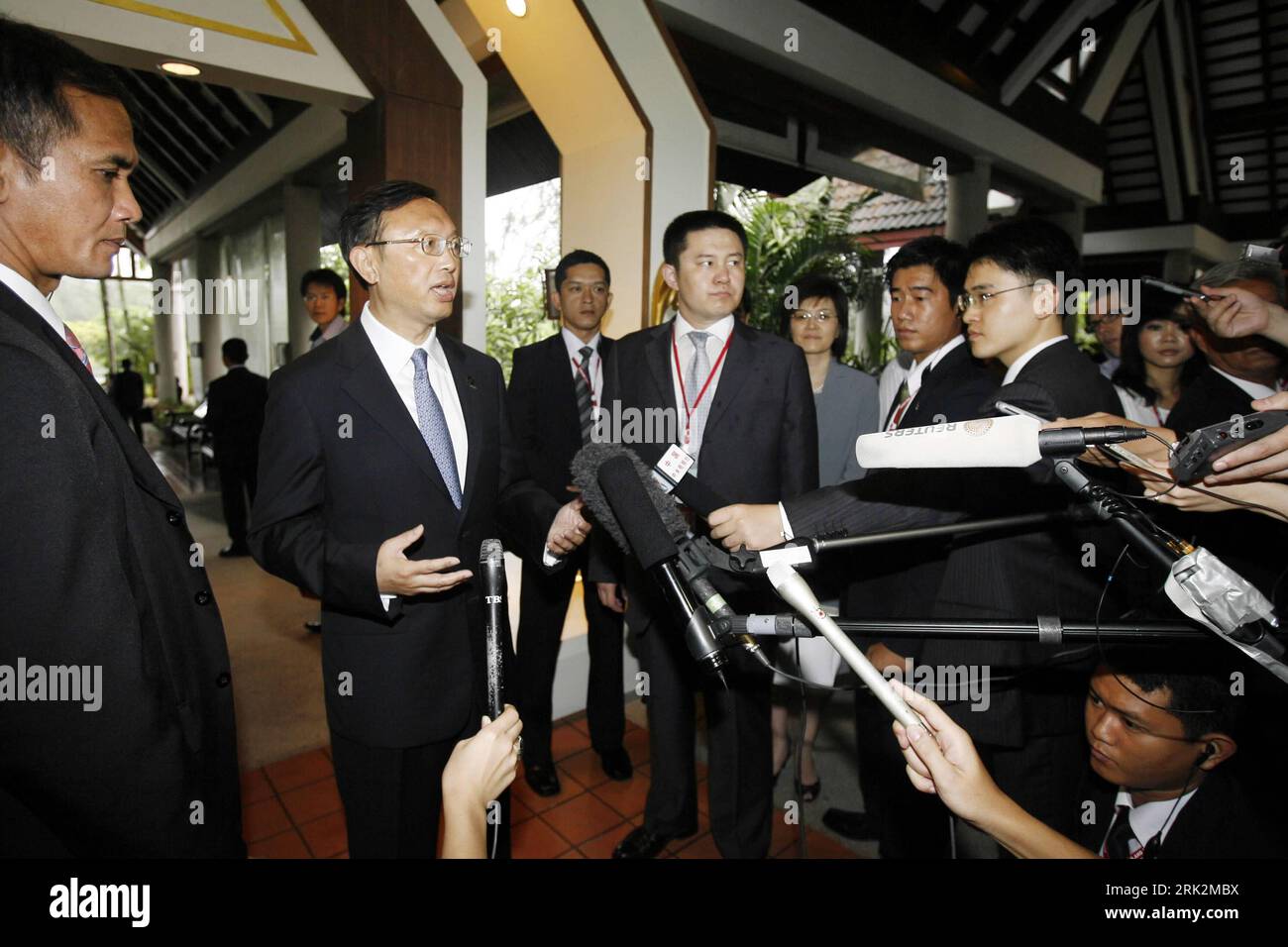
RM2RK2MBX–Bildnummer: 53221620 Datum: 23.07.2009 Copyright: imago/Xinhua (090723) -- PHUKET, July 23, 2009 (Xinhua) -- Chinese Foreign Minister Yang Jiechi (2nd L) speaks to the media in Phuket of Thailand, July 23, 2009. Yang Jiechi told reporters Thursday on the sidelines of the ASEAN meeting series that about the Korea Peninsula s nuclear issue, the UN Security Council s resolutions should be implemented and all sides should work hard to avoid escalation of tension. (Xinhua/Liu Lianfen) (wh) THAILAND-PHUKET-CHINA-YANG JIECHI-INTERVIEW PUBLICATIONxNOTxINxCHN People Politik asean Gipfeltreffen pre
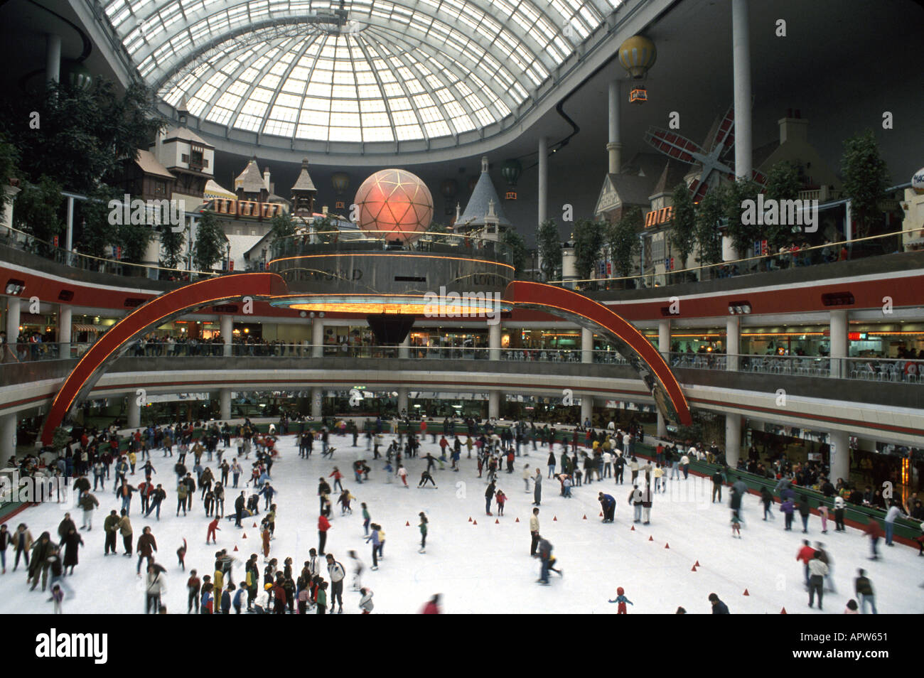
RMAPW651–South Korea,Korean Peninsula,Eastern Asia,Asian Far East,Eastern,Orient,Seoul,Lotte World,indoor,shopping shopper shoppers shop shops market markets m
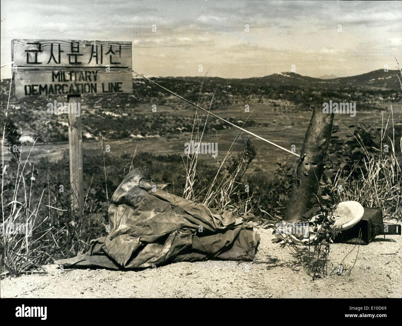
RME10D69–Jul. 07, 1972 - End of the Korean Hostilities: North-and South-Korea announced this week their will to go in talks with each other and to end the hostilities and to abolish the 27 years old partition of the peninsula. Photo shows The demarcation-line between the two Korea's at the 38th Latitiude. Here The jacket of an US-soldier and a shoe of a Chinese soldier, victims of the Korean War, lay now peacefully together.
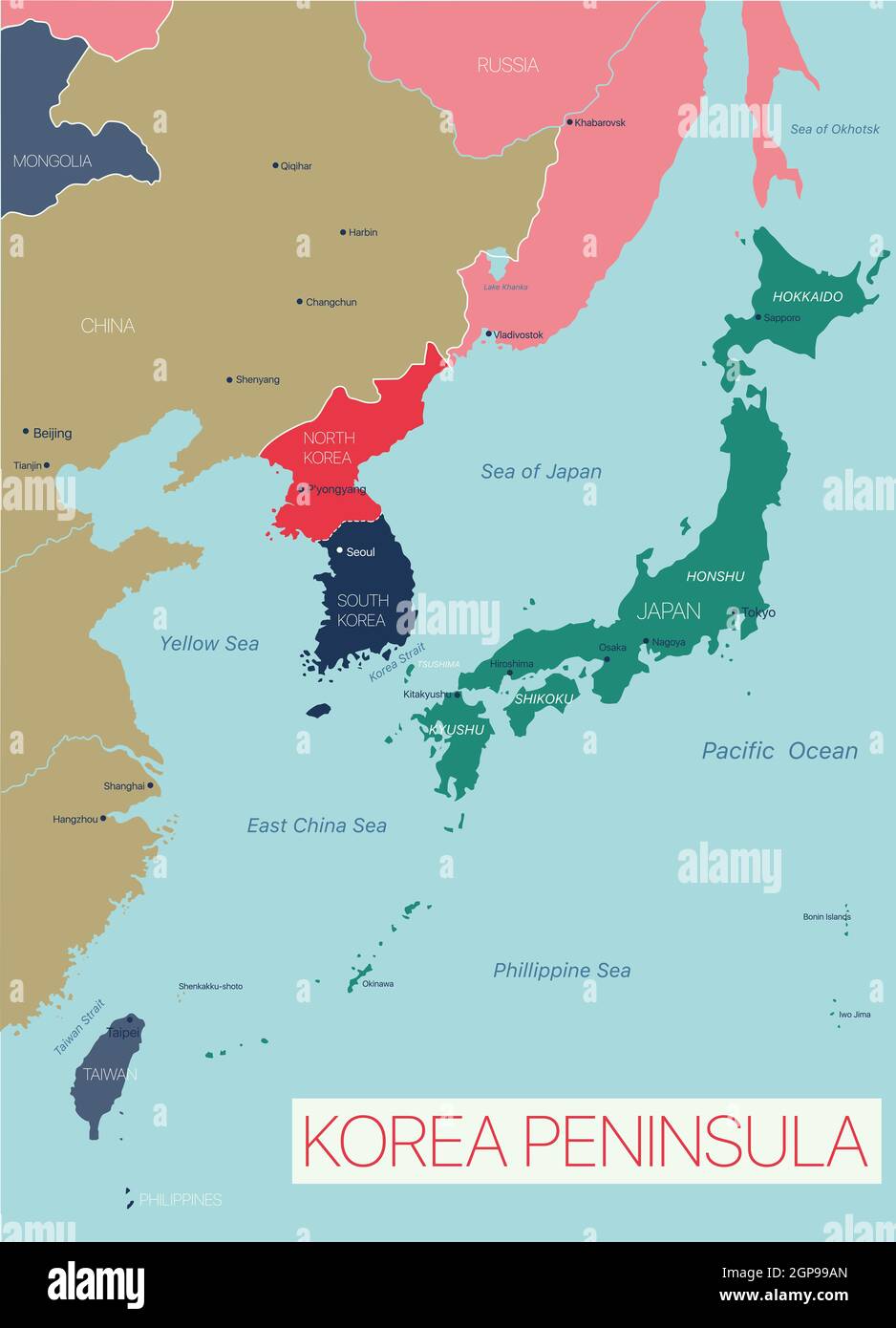
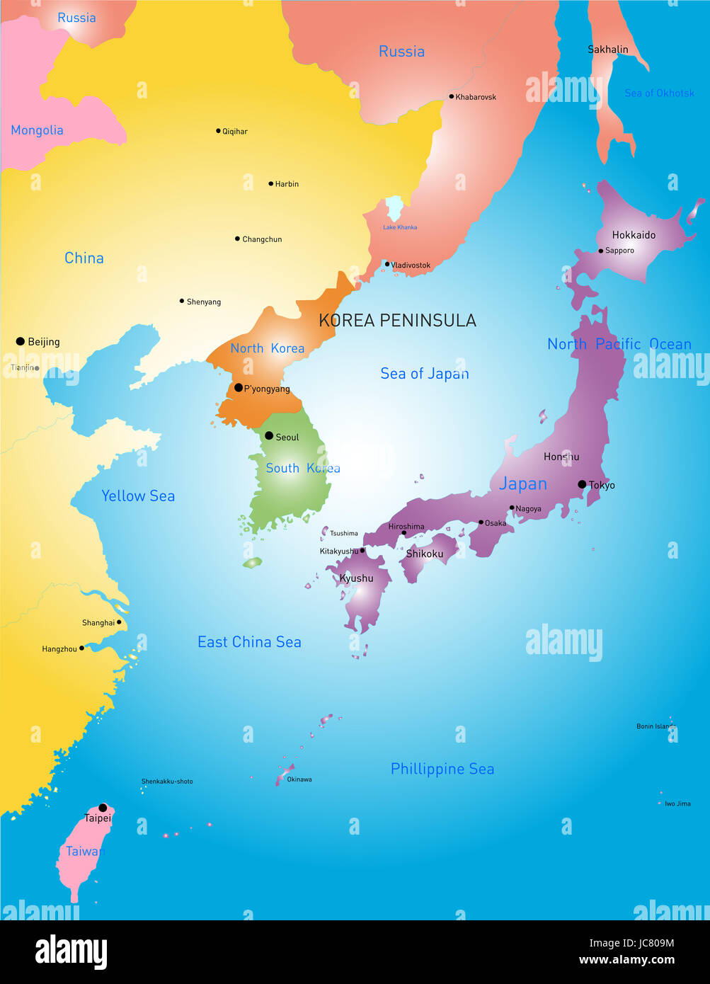
RF2GP99AN–Korea peninsula detailed editable map with countries capitals and cities. Vector EPS-10 file
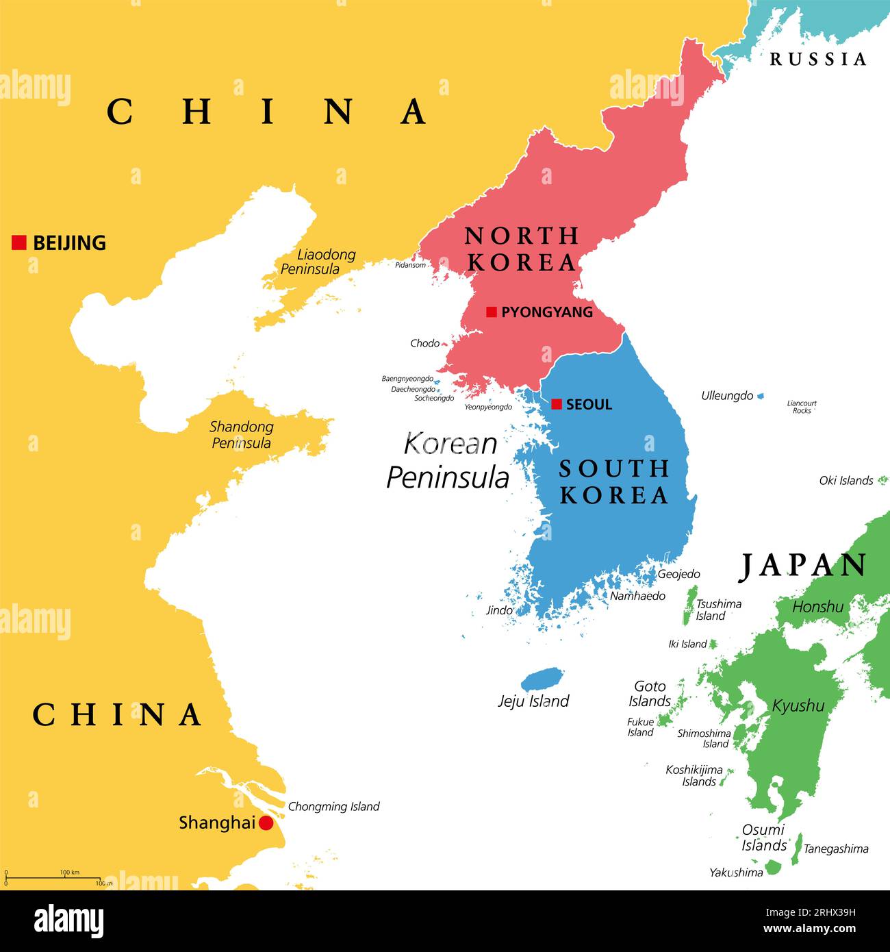
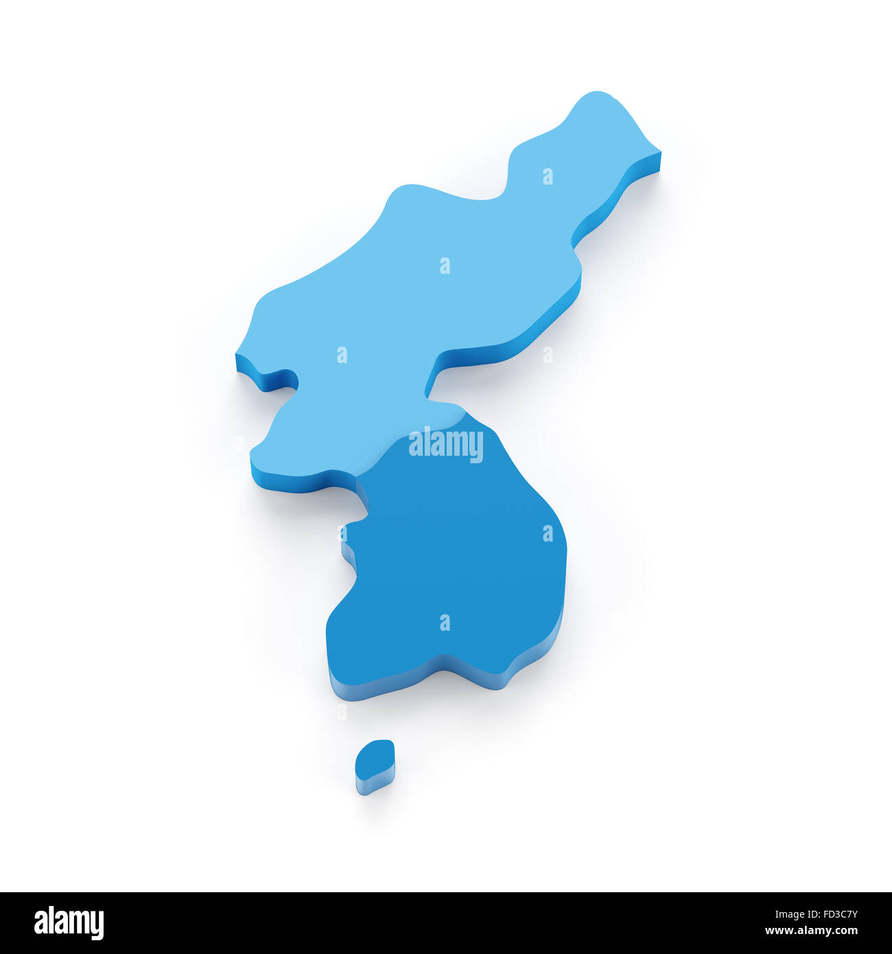
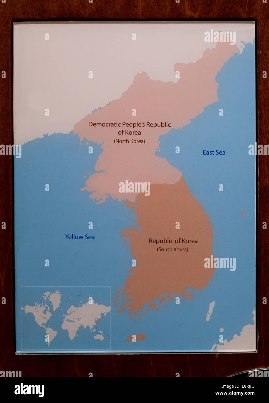
RF2RHX39H–Korean Peninsula region, colored political map. Peninsular region Korea in East Asia, divided between North and South Korea.
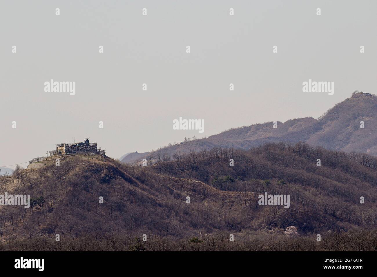
RM2G7KA1R–April 11, 2018-Goyang, South Korea-A View of Korean War battle of white horse and the Civilian Control Line in Cheorwon, South Korea. The Battle of White Horse was another in a series of bloody battles for dominant hilltop positions during the Korean War. Baengma-goji was a 395-metre (1,296 ft) hill in the Iron Triangle, formed by Pyonggang at its peak and Gimhwa-eup and Cheorwon at its base, was a strategic transportation route in the central region of the Korean peninsula. White Horse was the crest of a forested hill mass that extended in a northwest-to-southeast direction for about two mile
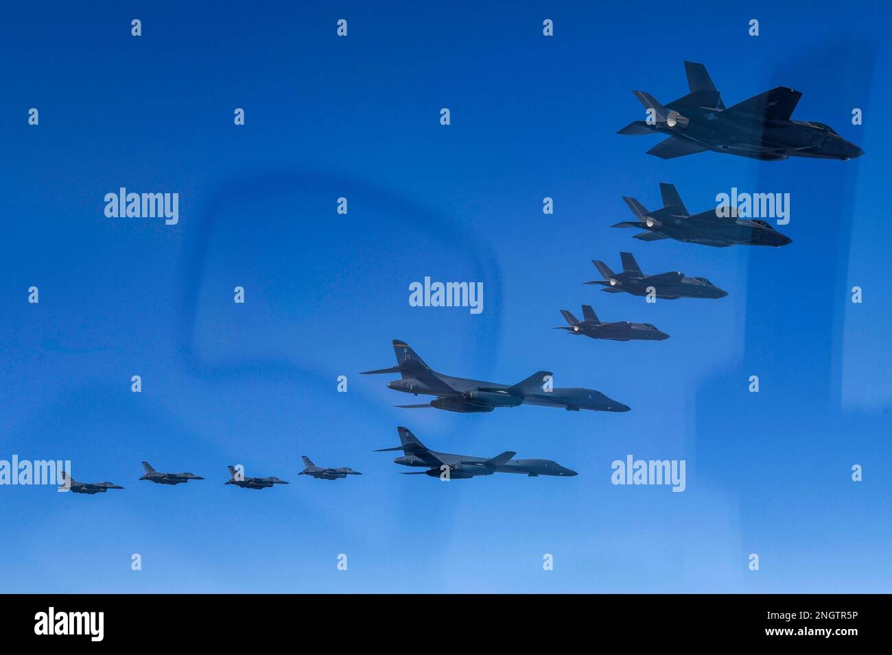
RM2NGTR5P–Seoul, South Korea. 19th Feb, 2023. (In this handout photos released by South Korean Defense Ministry), U.S. Air Force B-1B bomber, (top), flies in formation with U.S. Air Force F-16 fighter jets over the South Korea Peninsula during a joint air drill in South Korea on February 19, 2023. (Photo by: Korean Defense Ministry via Credit: Sipa USA/Alamy Live News
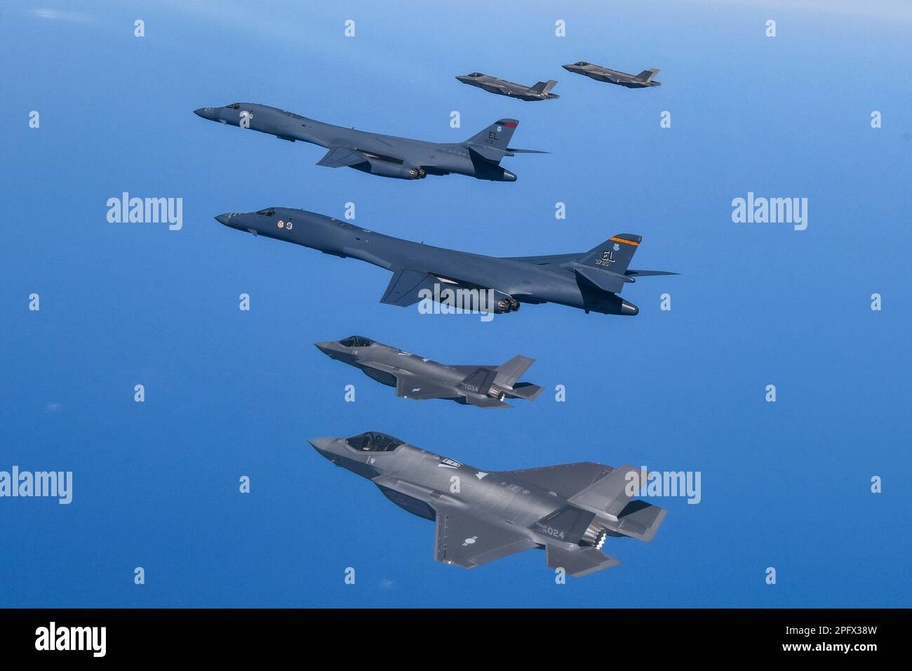
RM2PFX38W–March 19, 2023, OSAN, GYEONGGI, SOUTH KOREA: March 19, 2023-West Sea, South Korea-In this photo provided by South Korea Defense Ministry, U.S. Air Force B-1B bombers, top center, fly in formation with South Korea's Air Force F-35A fighter jets and U.S. Air Force F-16 fighter jets, top right, over the South Korea Peninsula during a joint air drill in South Korea, Sunday, March 19, 2023. North Korea launched a short-range ballistic missile toward the sea on Sunday, its neighbors said, ramping up testing activities in response to U.S.-South Korean military drills that it views as an invasion rehe
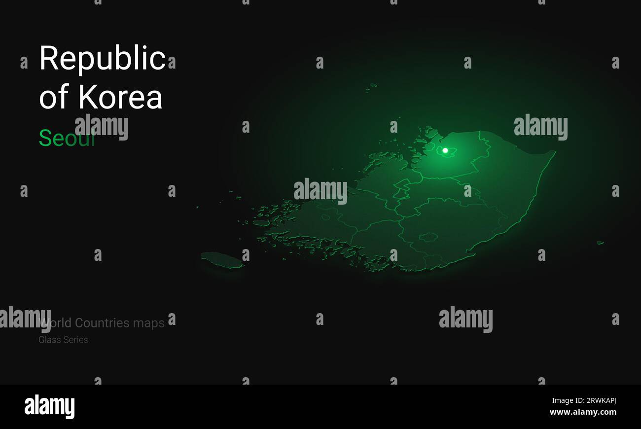
RF2RWKAPJ–Creative map of Korea. Political map. Seoul Capital of Republic of Korea. World Countries maps with borders. Glass isometric Series. Set
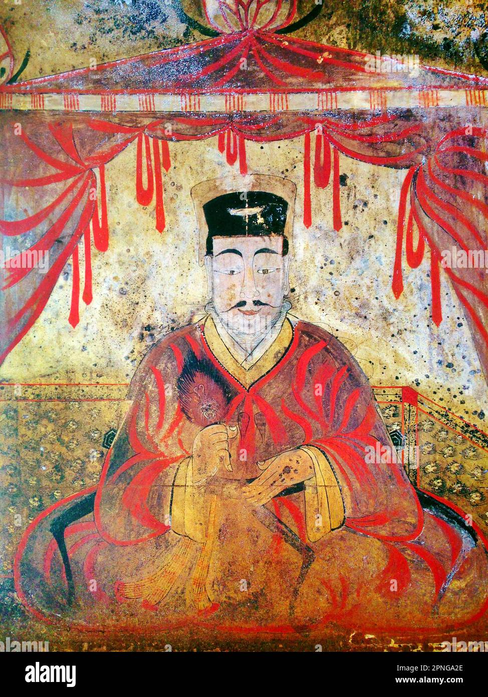
RM2PNGA2E–Korea: Tomb portrait of either King Micheon or King Gogugwon, or Minister Dong Shou, Koguryo, Anak Tomb 3, c. 371 CE. Goguryeo or Koguryŏ was an ancient Korean kingdom located in present day northern and central parts of the Korean Peninsula, southern Manchuria, and southern Russian Maritime province. Along with Baekje and Silla, Goguryeo was one of the Three Kingdoms of Korea. Goguryeo was an active participant in the power struggle for control of the Korean peninsula as well as associated with the foreign affairs of neighboring polities in China and Japan.
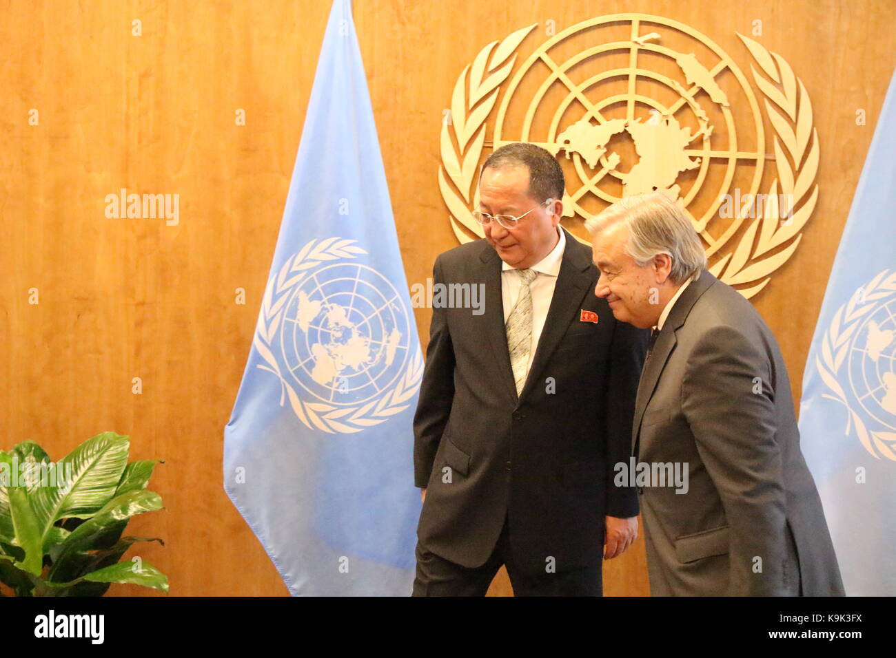
RMK9K3FX–UN, New York, USA. 23rd Sept, 2017. North Korea's Foreign Minister Ri Yong Ho met UN Sec-Gen Antonio Guterres amid mounting tensions on the Korea Peninsula. Photo: Matthew Russell Lee / Inner City Press
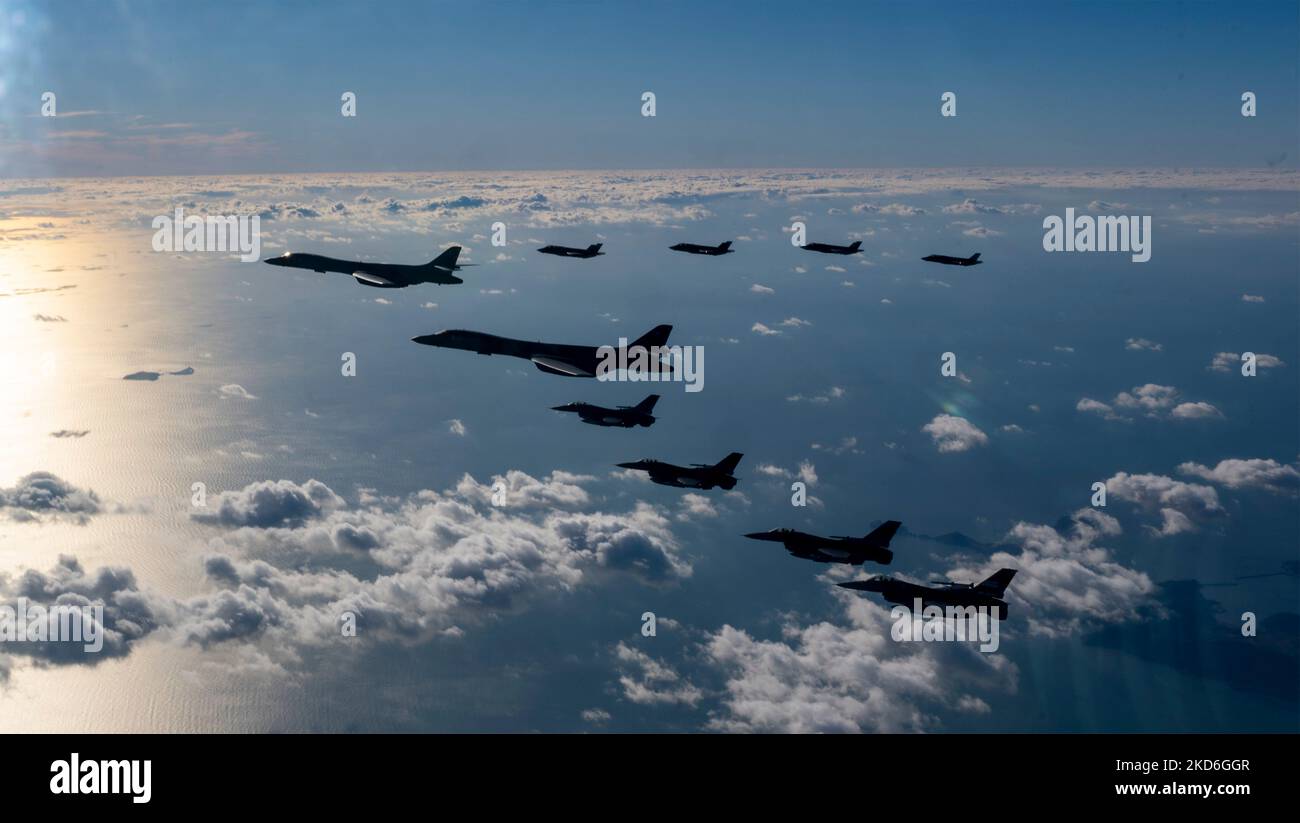
RM2KD6GGR–Osan Air Force Base, South Korea. 05th Nov, 2022. U.S. Air Force F-16 Fighting Falcon fighter jets, assigned to the 51st Fighter Wing and a Republic of Korea Air Force F-35A stealth fighter aircraft, fly an escort patrol with two USAF B-1B strategic stealth bombers during exercise Vigilant Storm, November 5, 2022 over the Korean Peninsula. Credit: SSgt. Dwane Young/US Air Force/Alamy Live News

RM2K0E12X–The Korean Demilitarized Zone running across the Korean Peninsula near the 38th parallel north. The demilitarized zone (DMZ) is a border barrier that divides the Korean Peninsula. It serves as a buffer zone between North and South Korea under the provisions of the Korean Armistice Agreement in 1953, an agreement between North Korea, China and the United Nations Command. The DMZ is 250 kilometres (160 miles) long and about 4 kilometres (2.5 miles) wide.

RM2M81WWP–US tracked landing vehicles come ashore in an amphibious landing staged during TEAM SPIRIT '84. TEAM SPIRIT is a joint/combined operation designed to test and improve techniques to defend the Republic of Korea Peninsula and increase combat readiness of Republic of Korea and US armed forces. Subject Operation/Series: TEAM SPIRIT '84 Base: Tok Sok Ri Beach Country: Republic Of Korea (KOR)
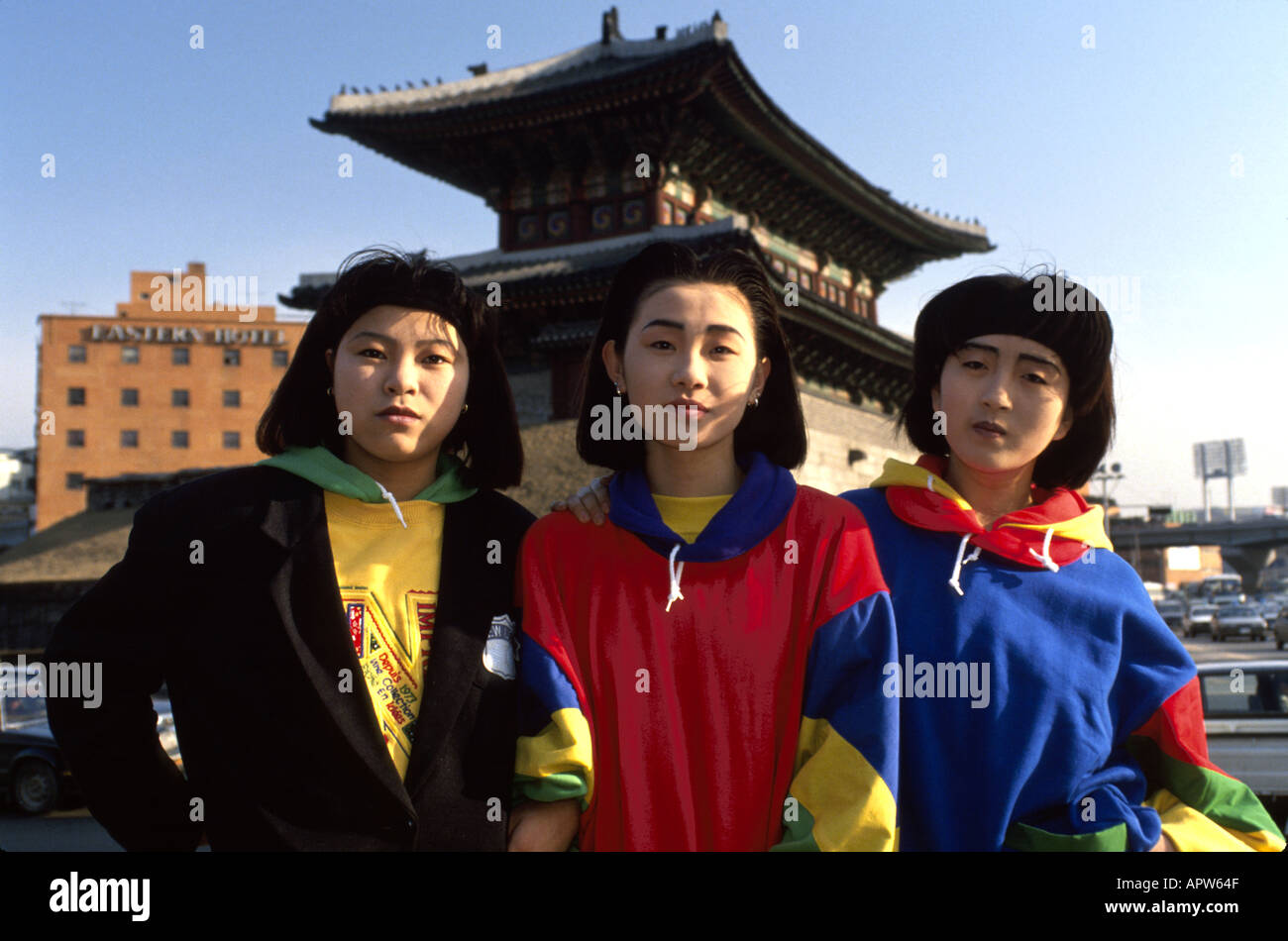
RMAPW64F–South Korea,Korean Peninsula,Eastern Asia,Asian Far East,Eastern,Orient,Seoul,modern,well dressed,stylish,Asian woman,female,women,teen teens teenager
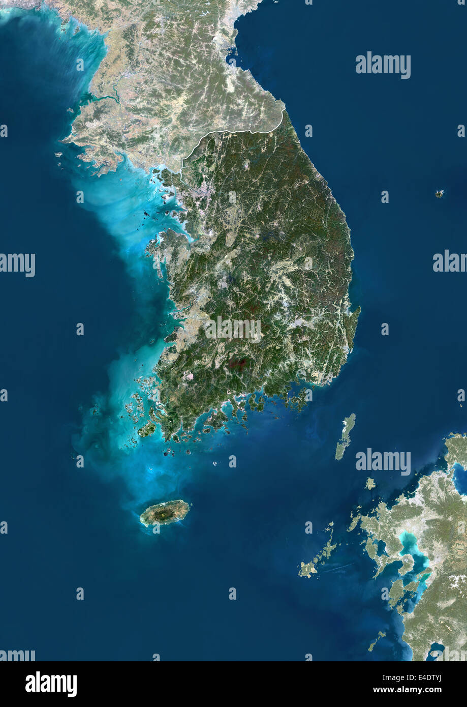
RME4DTYJ–South Korea, Asia, True Colour Satellite Image With Border And Mask. Satellite view of South Korea (with border and mask). This
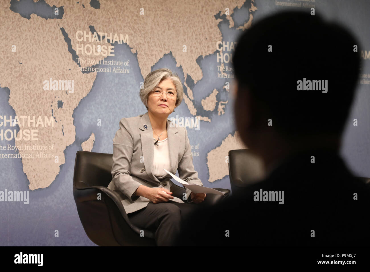
RMP9M5J7–London / UK - July 19 2018: Kang Kyung-wha, Minister of Foreign Affairs of the Republic of Korea (South Korea), at the Chatham House think-tank in central London where she gave a speech on the future for the Korean peninsula Credit: Dominic Dudley/Alamy Live News
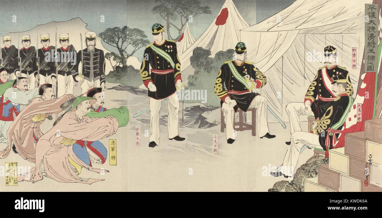
RMKWDK6A–Chinese generals on their knees after their defeat by Japanese at Pyongyang, Sept. 16, 1894. This is a fictional scene, set after the victory that has pushed the Chinese forces from the Korean Peninsula (BSLOC 2017 18 75)
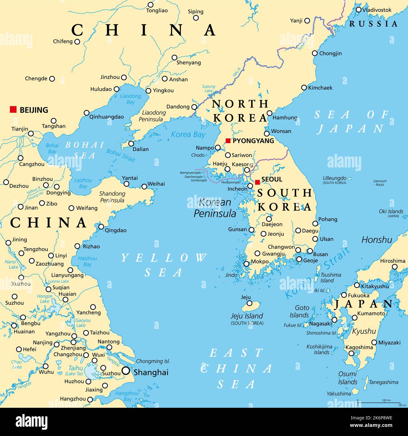
RF2K6P8WE–Korean Peninsula region, political map. Peninsular region Korea in East Asia, divided between the 2 countries North and South Korea.
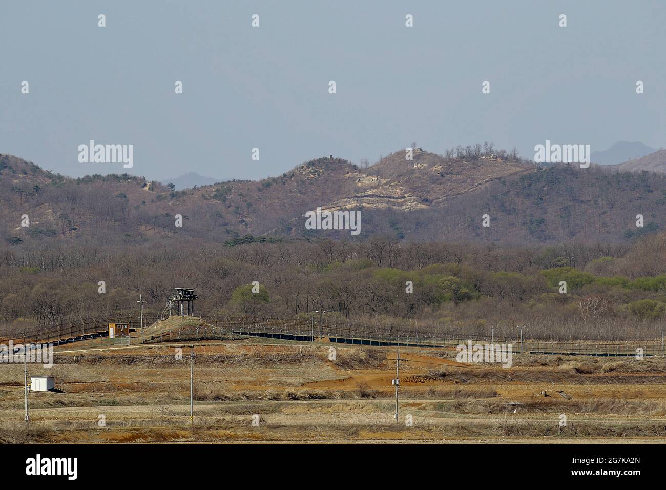
RM2G7KA2N–April 11, 2018-Goyang, South Korea-A View of Korean War battle of white horse and the Civilian Control Line in Cheorwon, South Korea. The Battle of White Horse was another in a series of bloody battles for dominant hilltop positions during the Korean War. Baengma-goji was a 395-metre (1,296 ft) hill in the Iron Triangle, formed by Pyonggang at its peak and Gimhwa-eup and Cheorwon at its base, was a strategic transportation route in the central region of the Korean peninsula. White Horse was the crest of a forested hill mass that extended in a northwest-to-southeast direction for about two mile
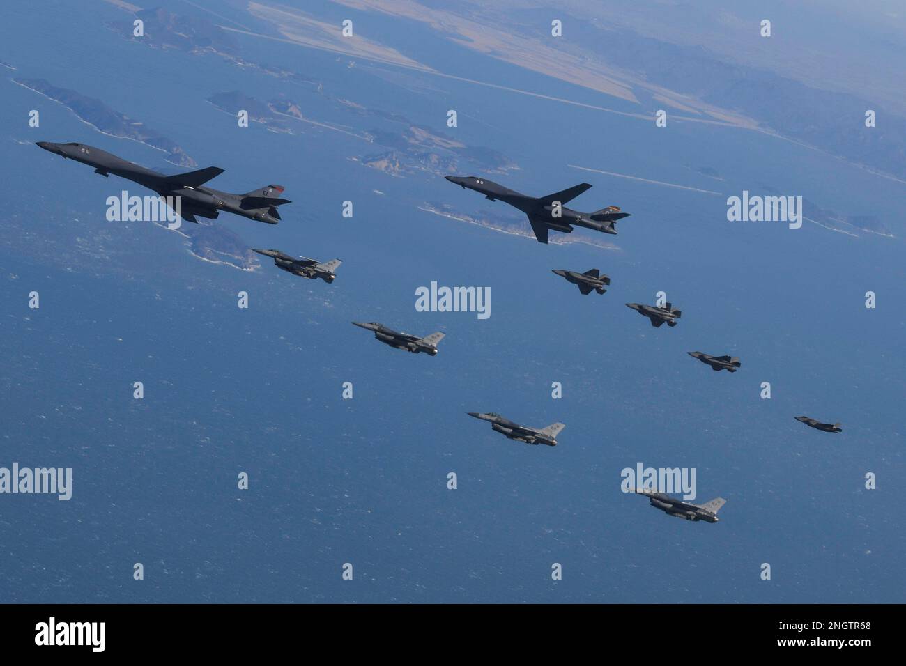
RM2NGTR68–Seoul, South Korea. 19th Feb, 2023. (In this handout photos released by South Korean Defense Ministry), U.S. Air Force B-1B bomber, (top), flies in formation with U.S. Air Force F-16 fighter jets over the South Korea Peninsula during a joint air drill in South Korea on February 19, 2023. (Photo by: Korean Defense Ministry via Credit: Sipa USA/Alamy Live News
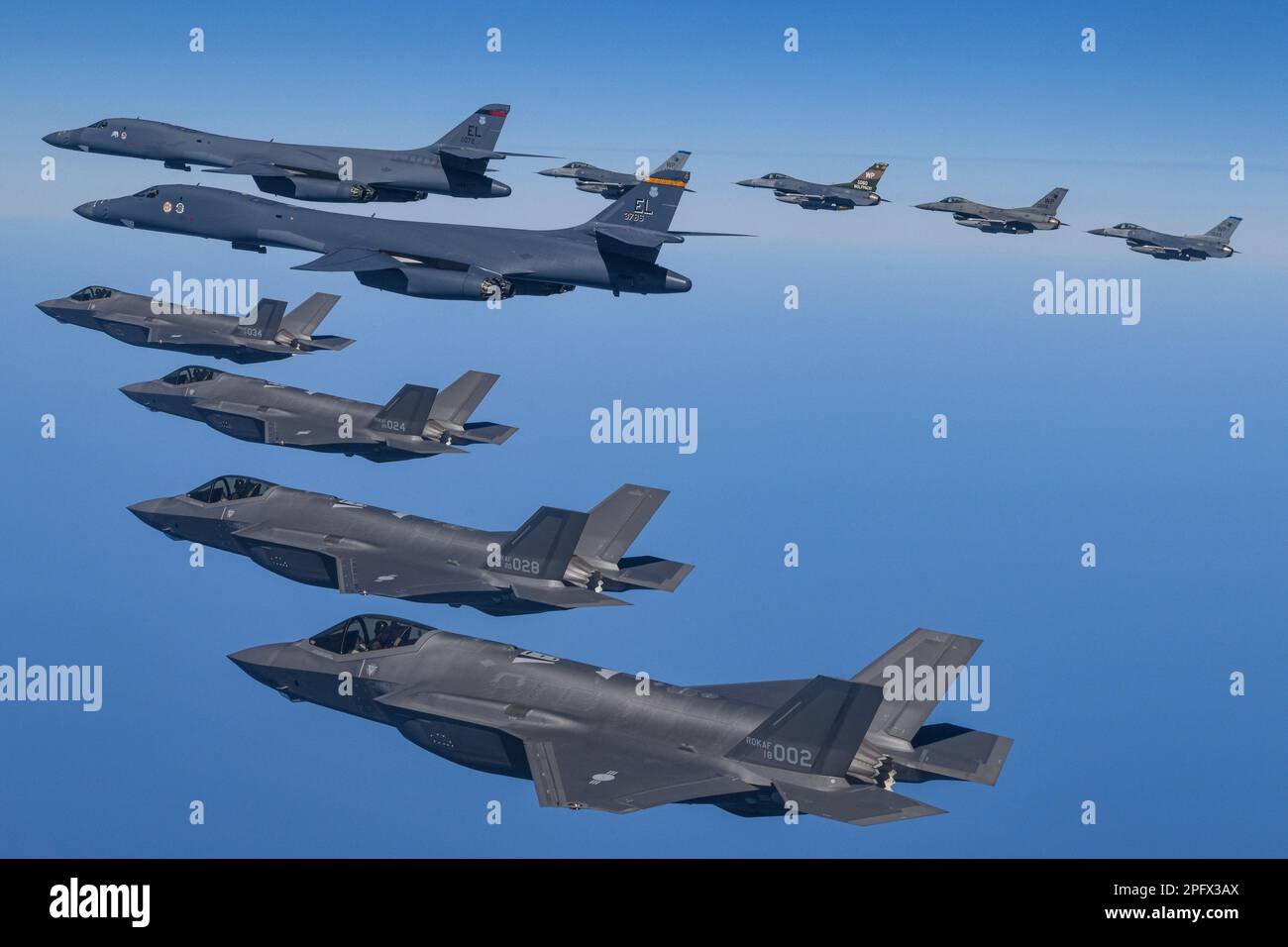
RM2PFX3AX–March 19, 2023, OSAN, GYEONGGI, SOUTH KOREA: March 19, 2023-West Sea, South Korea-In this photo provided by South Korea Defense Ministry, U.S. Air Force B-1B bombers, top center, fly in formation with South Korea's Air Force F-35A fighter jets and U.S. Air Force F-16 fighter jets, top right, over the South Korea Peninsula during a joint air drill in South Korea, Sunday, March 19, 2023. North Korea launched a short-range ballistic missile toward the sea on Sunday, its neighbors said, ramping up testing activities in response to U.S.-South Korean military drills that it views as an invasion rehe
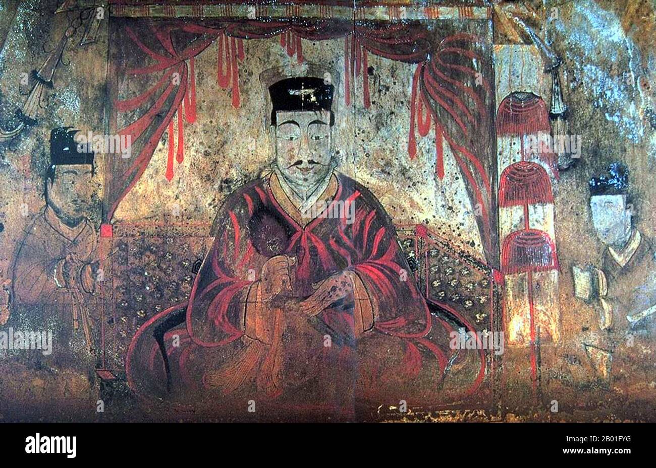
RM2B01FYG–Korea: Tomb Portrait of either King Micheon or King Gogugwon, or Minister Dong Shou, Koguryo, Anak Tomb 3, c. 371 CE. Goguryeo or Koguryŏ was an ancient Korean kingdom located in present day northern and central parts of the Korean Peninsula, southern Manchuria, and southern Russian Maritime province. Along with Baekje and Silla, Goguryeo was one of the Three Kingdoms of Korea. Goguryeo was an active participant in the power struggle for control of the Korean peninsula as well as associated with the foreign affairs of neighboring polities in China and Japan.
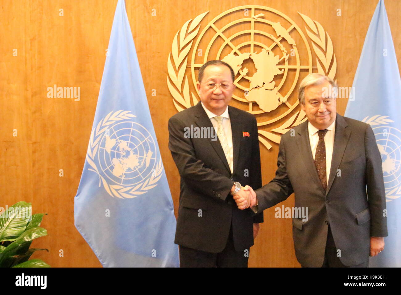
RMK9K3EH–UN, New York, USA. 23rd Sept, 2017. North Korea's Foreign Minister Ri Yong Ho met UN Sec-Gen Antonio Guterres amid mounting tensions on the Korea Peninsula. Photo: Matthew Russell Lee / Inner City Press
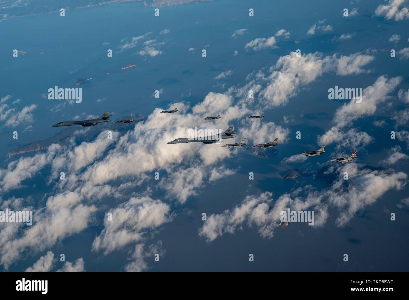
RM2KD6FWC–Osan Air Force Base, South Korea. 05th Nov, 2022. U.S. Air Force F-16 Fighting Falcon fighter jets, assigned to the 51st Fighter Wing and a Republic of Korea Air Force F-35A stealth fighter aircraft, fly an escort patrol with two USAF B-1B strategic stealth bombers during exercise Vigilant Storm, November 5, 2022 over the Korean Peninsula. Credit: SSgt. Dwane Young/US Air Force/Alamy Live News
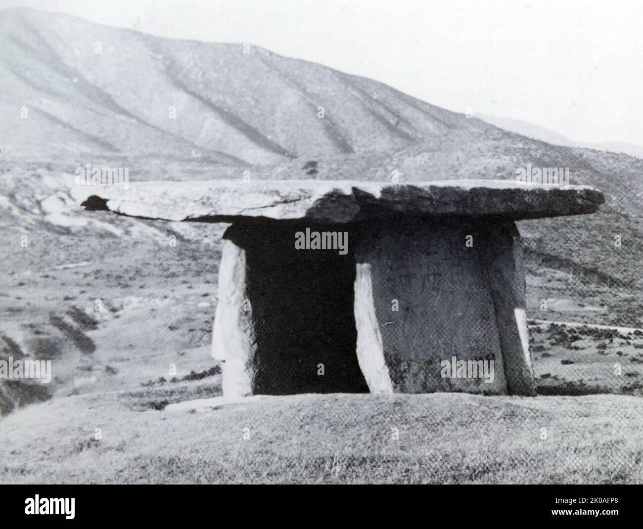
RM2K0AFP8–Prehistoric dolmen in Unsong-ni, Hwanghae Province North Korea. Dolmen Sites are the location of stone dolmens which were used as grave markers, and for ritual purposes during the first millennium BCE when the Megalithic Culture was prominent on the Korean Peninsula. The sites were designated as a World Heritage Site by UNESCO in 2000. Men from North Korea in Oonseong-ri, Oonyeol-koon, Hwanghae-do Province, North Korea.
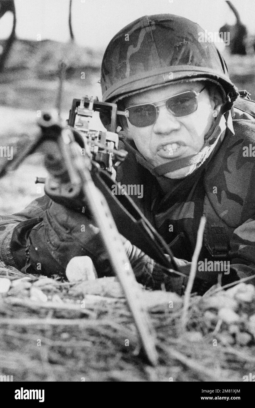
RM2M81XJM–A US Marine mans an M60 machine gun as Republic of Korea and US Forces secure the beach during TEAM SPIRIT '84. TEAM SPIRIT is a joint/combined operation designed to test and improve techniques to defend the Republic of Korea Peninsula and increase combat readiness of Republic of Korea and US armed forces. Subject Operation/Series: TEAM SPIRIT '84 Base: Tok Sok Ri Beach Country: Republic Of Korea (KOR)
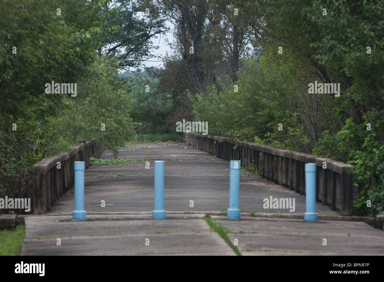
RMBPNR7P–The 'Bridge of No Return' inside the Demilitarized zone (DMZ) between South and North Korea, Saturday 28th August 2010.
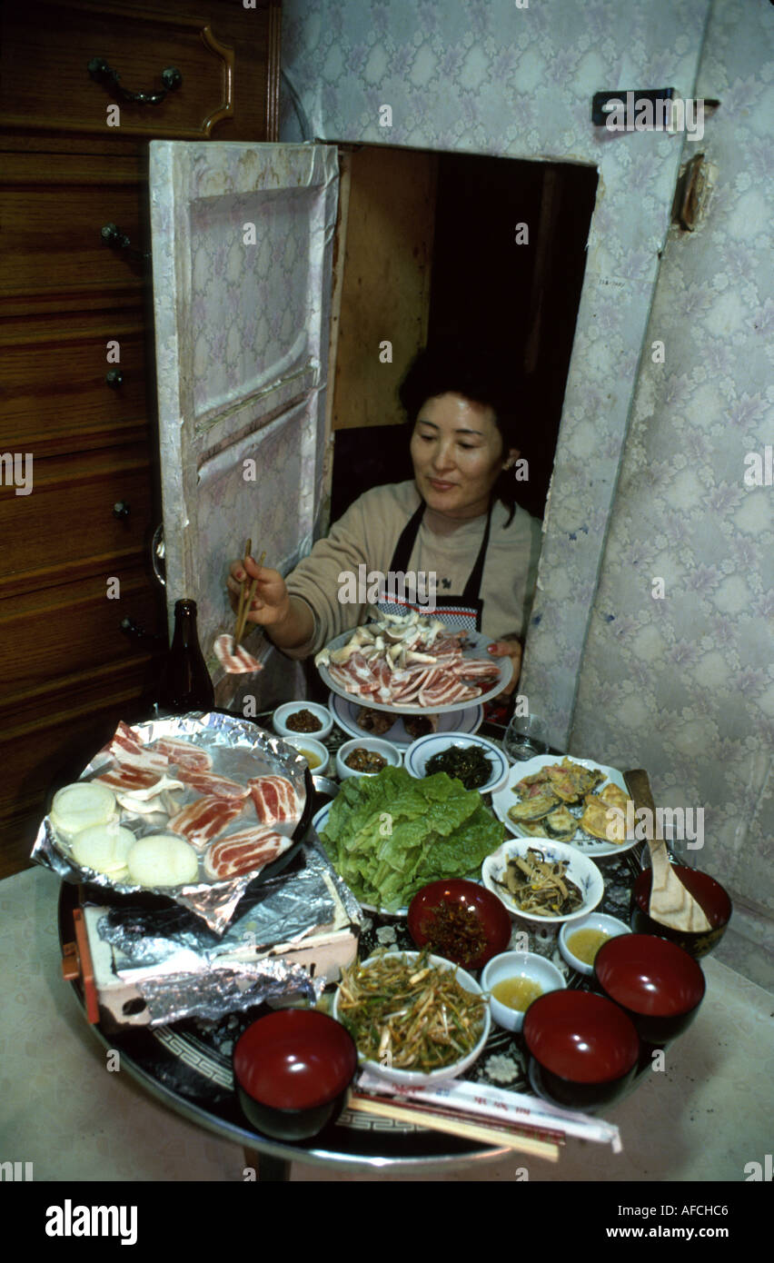
RMAFCHC6–South Korea,Korean Peninsula,Eastern Asia,Asian Far East,Eastern,Orient,Seoul,Asian woman,female,women,prepares special meal,occasion,feast,tradition,
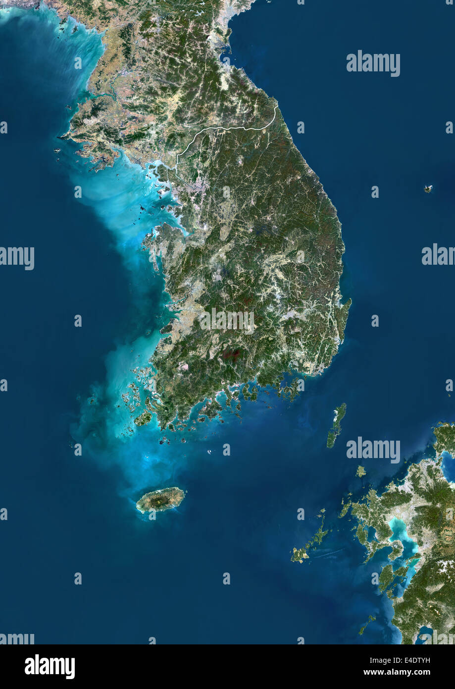
RME4DTYH–South Korea, Asia, True Colour Satellite Image With Border. Satellite view of South Korea (with border). This image was compiled
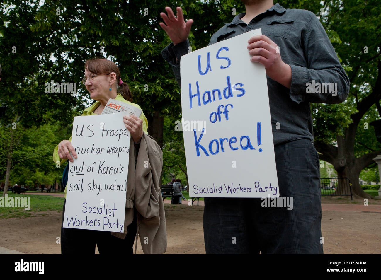
RMHYWHD8–Washington, DC, USA. 26th April, 2017. As tensions continue to rise between US and North Korea, members of the Socialist Workers Party protest against US involvement in the Korean peninsula in front of the White House. Credit: B Christopher/Alamy Live News
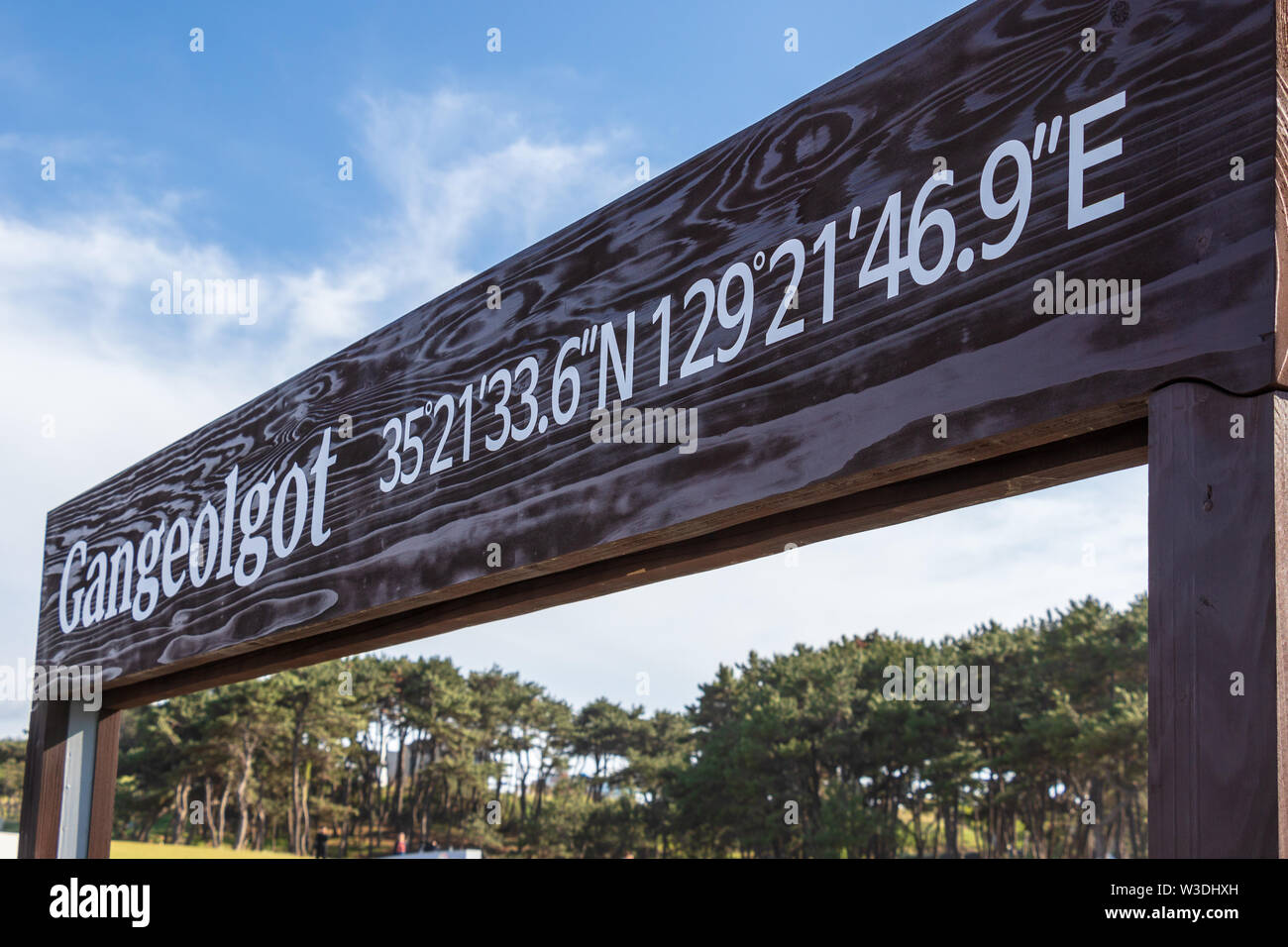
RFW3DHXH–Entrance Sign to Ganjeolgot with GPS Coordinates. Easternmost Point of Peninsula in Ulsan, South Korea. Asia
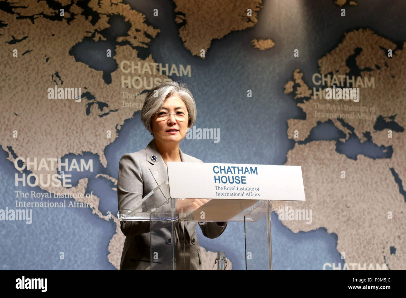
RMP9M5JC–London / UK - July 19 2018: Kang Kyung-wha, Minister of Foreign Affairs of the Republic of Korea (South Korea), at the Chatham House think-tank in central London where she gave a speech on the future for the Korean peninsula Credit: Dominic Dudley/Alamy Live News
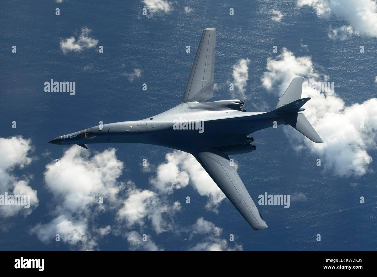
RMKWDK39–Overhead view of an US Air Force B-1B Lancer, a stealth, supersonic, heavy bomber. It is flying in a 10-hour mission from Andersen Air Force Base, Guam, into Japanese airspace and over the Korean Peninsula, July 30, 2017 (BSLOC 2017 18 185)
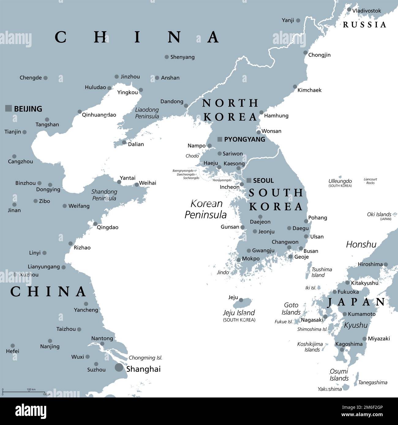
RF2M6F2GP–Korean Peninsula region, gray political map. Peninsular region Korea in East Asia, divided between North and South Korea, bordered by China and Russia.
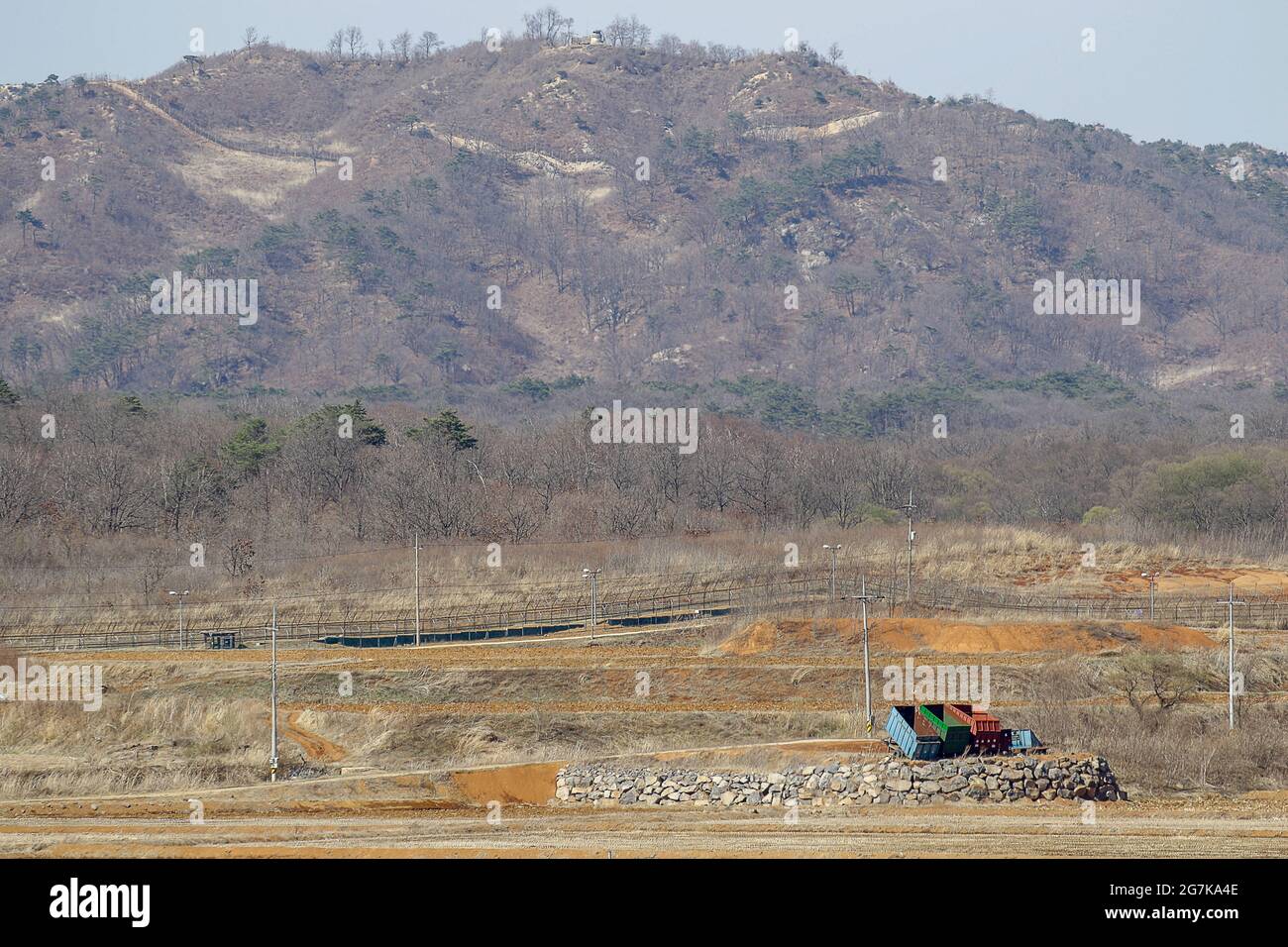
RM2G7KA4E–April 11, 2018-Goyang, South Korea-A View of Korean War battle of white horse and the Civilian Control Line in Cheorwon, South Korea. The Battle of White Horse was another in a series of bloody battles for dominant hilltop positions during the Korean War. Baengma-goji was a 395-metre (1,296 ft) hill in the Iron Triangle, formed by Pyonggang at its peak and Gimhwa-eup and Cheorwon at its base, was a strategic transportation route in the central region of the Korean peninsula. White Horse was the crest of a forested hill mass that extended in a northwest-to-southeast direction for about two mile
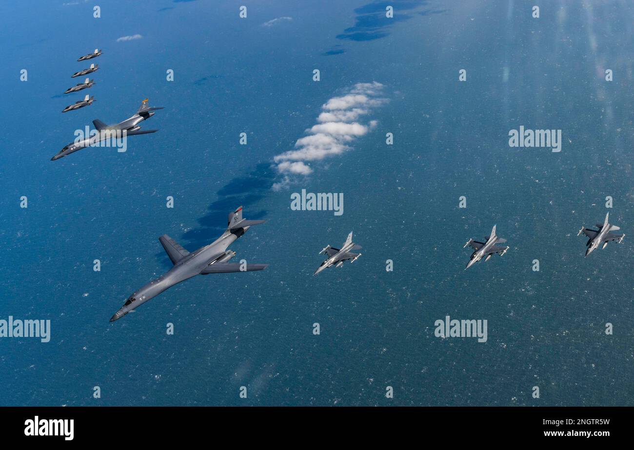
RM2NGTR5W–Seoul, South Korea. 19th Feb, 2023. (In this handout photos released by South Korean Defense Ministry), U.S. Air Force B-1B bomber, (center), flies in formation with U.S. Air Force F-16 fighter jets over the South Korea Peninsula during a joint air drill in South Korea on February 19, 2023. (Photo by: Korean Defense Ministry via Credit: Sipa USA/Alamy Live News
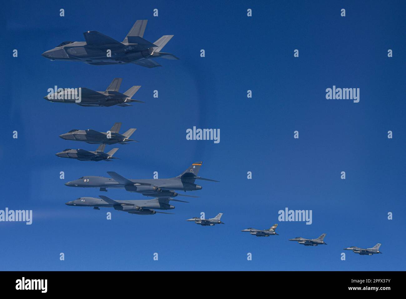
RM2PFX37Y–March 19, 2023, OSAN, GYEONGGI, SOUTH KOREA: March 19, 2023-West Sea, South Korea-In this photo provided by South Korea Defense Ministry, U.S. Air Force B-1B bombers, top center, fly in formation with South Korea's Air Force F-35A fighter jets and U.S. Air Force F-16 fighter jets, top right, over the South Korea Peninsula during a joint air drill in South Korea, Sunday, March 19, 2023. North Korea launched a short-range ballistic missile toward the sea on Sunday, its neighbors said, ramping up testing activities in response to U.S.-South Korean military drills that it views as an invasion rehe
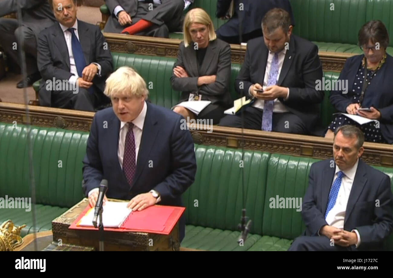
RMJ1727C–Foreign Secretary Boris Johnson makes a statement in the House of Commons, London, to update MPs on the rising tensions in the Korean peninsula amid warnings from Pyongyang about the risk of nuclear war.
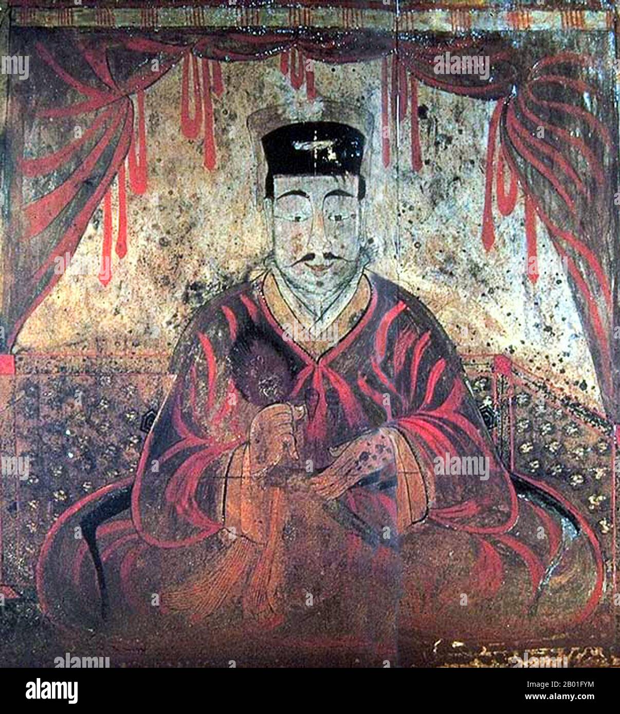
RM2B01FYM–Korea: Tomb Portrait of either King Micheon or King Gogugwon, or Minister Dong Shou, Koguryo, Anak Tomb 3, c. 371 CE. Goguryeo or Koguryŏ was an ancient Korean kingdom located in present day northern and central parts of the Korean Peninsula, southern Manchuria, and southern Russian Maritime province. Along with Baekje and Silla, Goguryeo was one of the Three Kingdoms of Korea. Goguryeo was an active participant in the power struggle for control of the Korean peninsula as well as associated with the foreign affairs of neighboring polities in China and Japan.
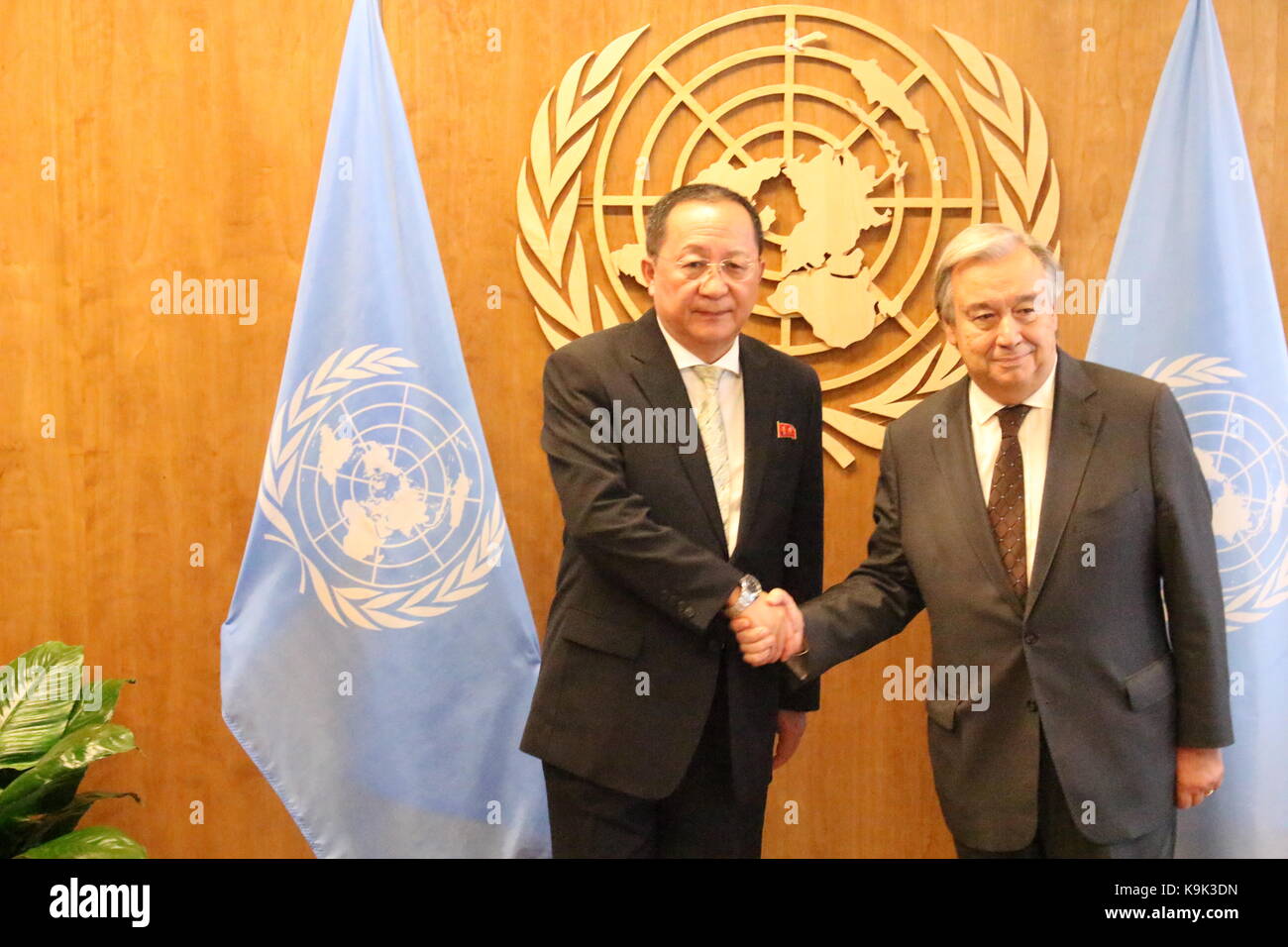
RMK9K3DN–UN, New York, USA. 23rd Sept, 2017. North Korea's Foreign Minister Ri Yong Ho met UN Sec-Gen Antonio Guterres amid mounting tensions on the Korea Peninsula. Photo: Matthew Russell Lee / Inner City Press
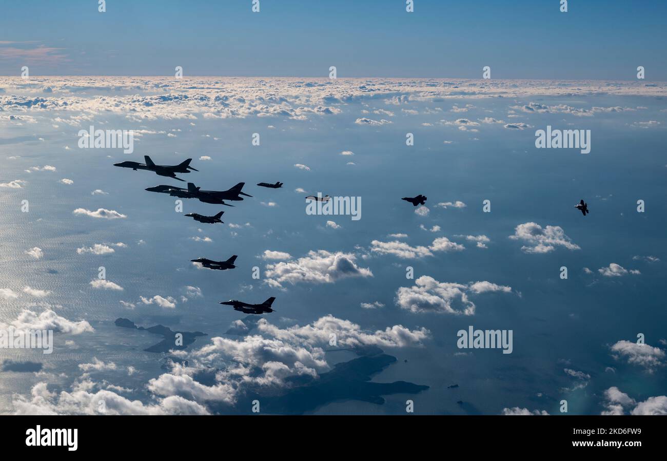
RM2KD6FW9–Osan Air Force Base, South Korea. 05th Nov, 2022. U.S. Air Force F-16 Fighting Falcon fighter jets, assigned to the 51st Fighter Wing and a Republic of Korea Air Force F-35A stealth fighter aircraft, fly an escort patrol with two USAF B-1B strategic stealth bombers during exercise Vigilant Storm, November 5, 2022 over the Korean Peninsula. Credit: SSgt. Dwane Young/US Air Force/Alamy Live News
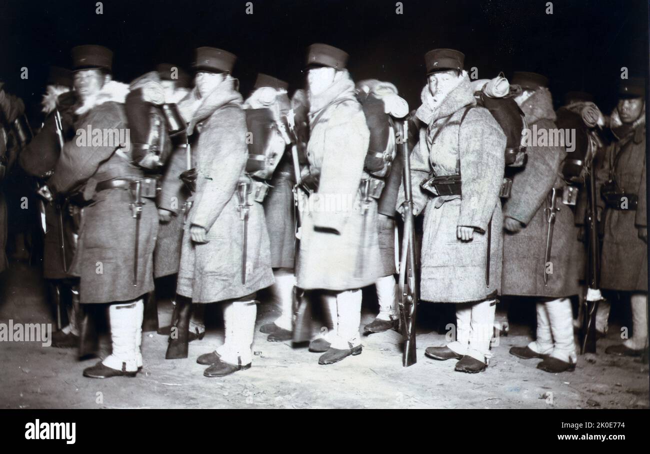
RM2K0E774–Japanese soldiers in the Korean Peninsula 1905 during the Russo-Japanese War of 1904-1905.
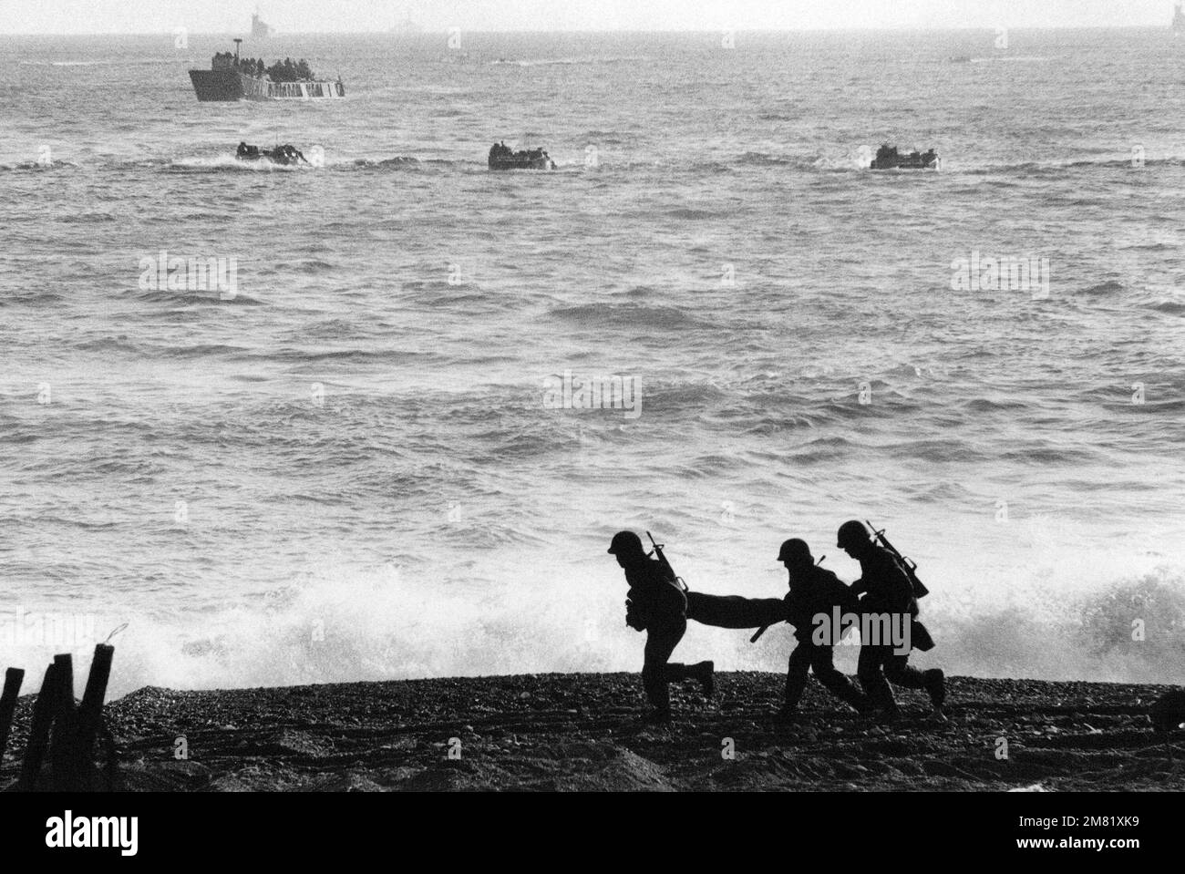
RM2M81XK9–Republic of Korea marines move into position as US and Republic of Korea landing craft approach the beach during a TEAM SPIRIT '84 amphibious landing. TEAM SPIRIT is a joint/combined operation designed to improve techniques to defend the Republic of Korea Peninsula and increase combat readiness of Republic of Korea and US armed forces. Subject Operation/Series: TEAM SPIRIT '84 Base: Tok Sok Ri Beach Country: Republic Of Korea (KOR)
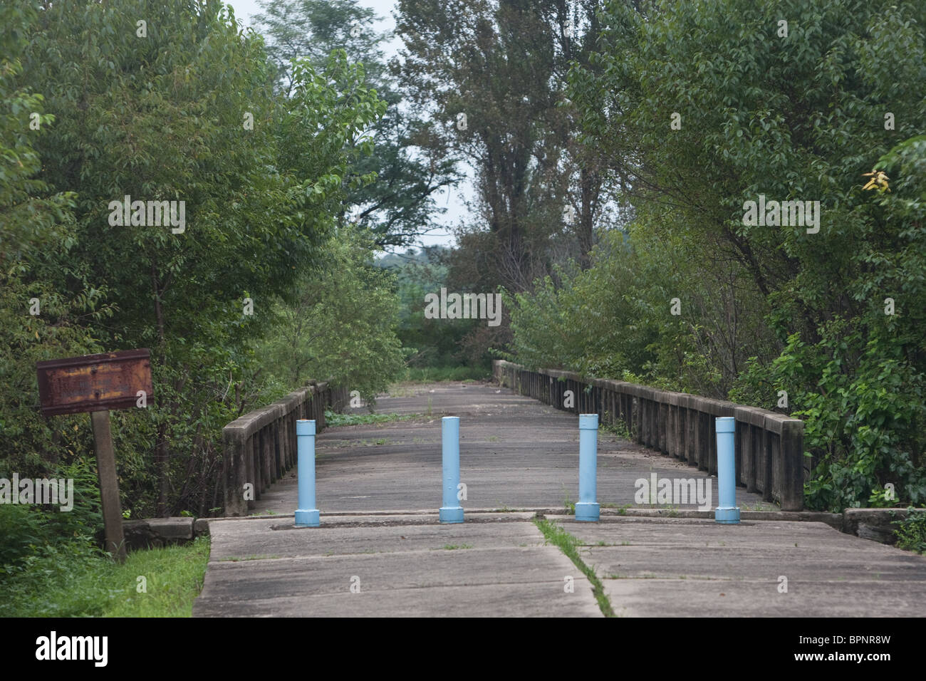
RMBPNR8W–The 'Bridge of No Return' inside the Demilitarized zone (DMZ) between South and North Korea, Saturday 28th August 2010.
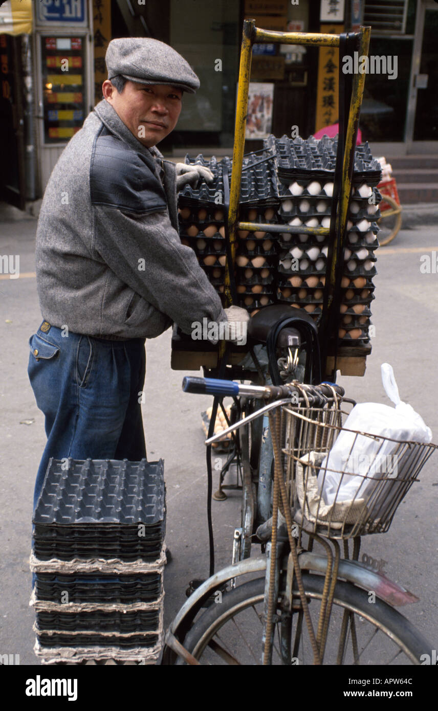
RMAPW64C–South Korea,Korean Peninsula,Eastern Asia,Asian Far East,Eastern,Orient,Seoul,man men male,bicycle,bicycling,riding,biking,rider,bike,transportation,e
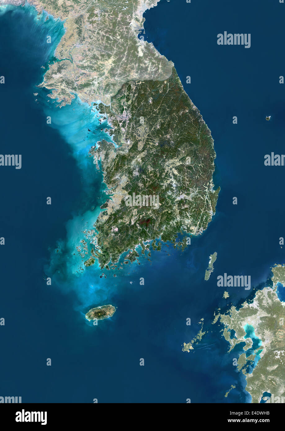
RME4DWHB–South Korea, Asia, True Colour Satellite Image With Mask. Satellite view of South Korea (with mask). This image was compiled fro

RMHYWHDC–Washington, DC, USA. 26th April, 2017. As tensions continue to rise between US and North Korea, members of the Socialist Workers Party protest against US involvement in the Korean peninsula in front of the White House. Credit: B Christopher/Alamy Live News
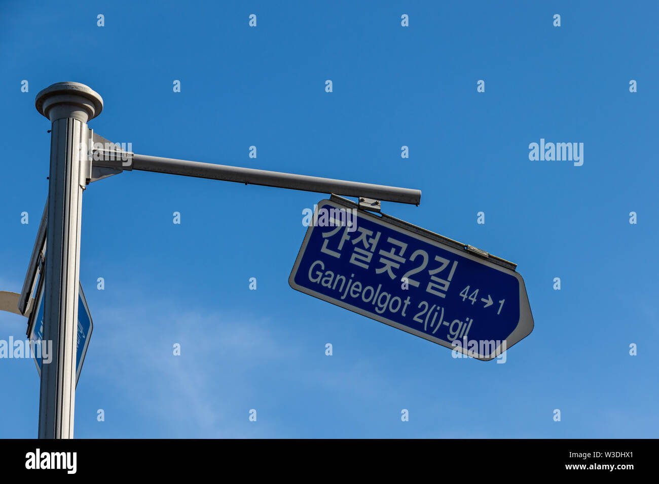
RFW3DHX1–Broken Traffic Sign guiding to Ganjeolgot. Easternmost Point of Peninsula in Ulsan, South Korea. Asia
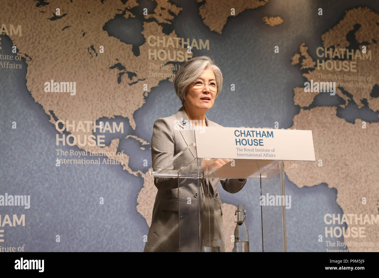
RMP9M5J9–London / UK - July 19 2018: Kang Kyung-wha, Minister of Foreign Affairs of the Republic of Korea (South Korea), at the Chatham House think-tank in central London where she gave a speech on the future for the Korean peninsula Credit: Dominic Dudley/Alamy Live News
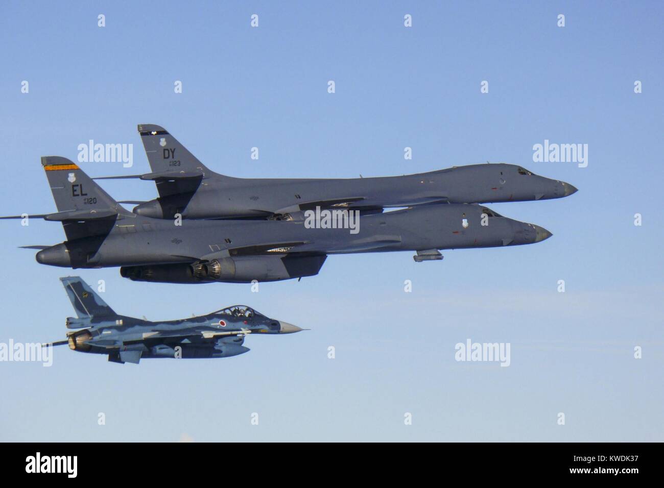
RMKWDK37–Two US Air Force B-1B Lancers fly with a Japanese air force F-15 fighter jet. They are on a 10-hour mission from Andersen Air Force Base, Guam, into Japanese airspace and over the Korean Peninsula, July 30, 2017 (BSLOC 2017 18 183)
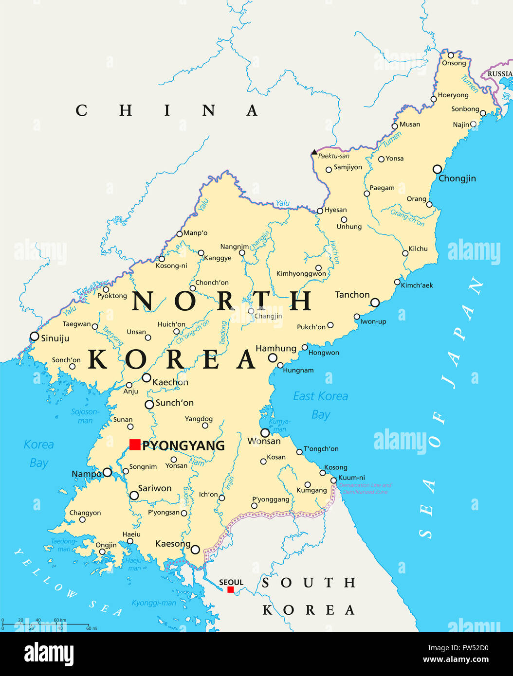
RFFW52D0–North Korea political map with capital Pyongyang, national borders, important cities, rivers and lakes. English labeling.
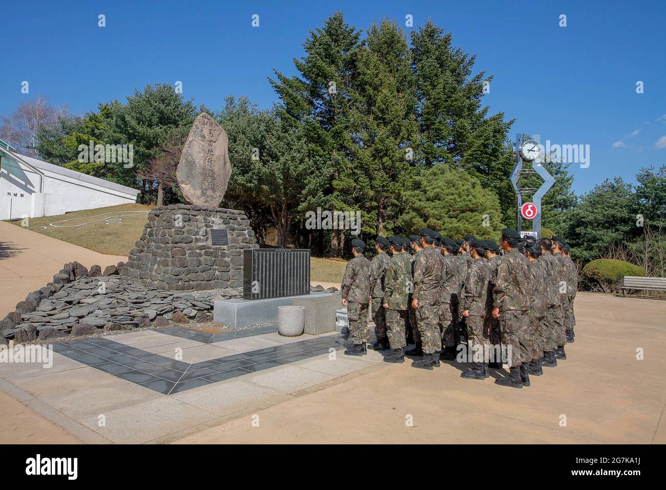
RM2G7KA1J–April 11, 2018-Goyang, South Korea-South Korean Army soldiers visit battle of white horse memorial monument in Cheorwon, South Korea. The Battle of White Horse was another in a series of bloody battles for dominant hilltop positions during the Korean War. Baengma-goji was a 395-metre (1,296 ft) hill in the Iron Triangle, formed by Pyonggang at its peak and Gimhwa-eup and Cheorwon at its base, was a strategic transportation route in the central region of the Korean peninsula. White Horse was the crest of a forested hill mass that extended in a northwest-to-southeast direction for about two mile
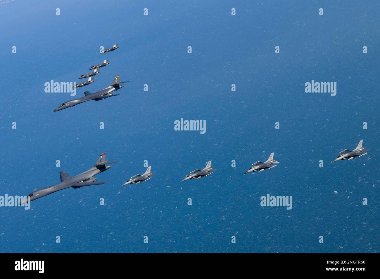
RM2NGTR60–Seoul, South Korea. 19th Feb, 2023. (In this handout photos released by South Korean Defense Ministry), U.S. Air Force B-1B bomber, (center), flies in formation with U.S. Air Force F-16 fighter jets over the South Korea Peninsula during a joint air drill in South Korea on February 19, 2023. (Photo by: Korean Defense Ministry via Credit: Sipa USA/Alamy Live News
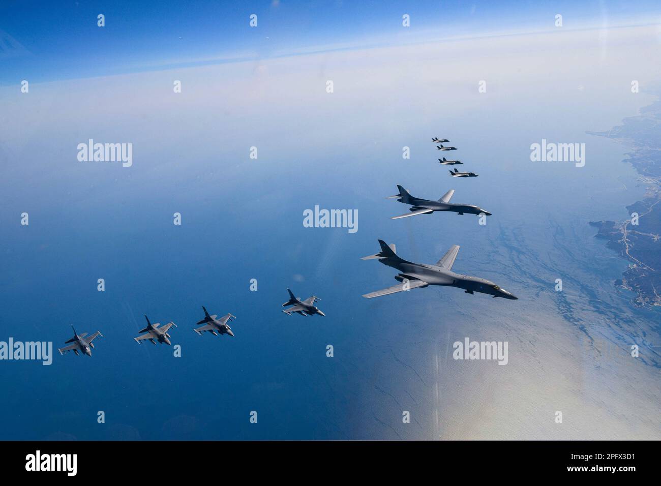
RM2PFX3D1–March 19, 2023, OSAN, GYEONGGI, SOUTH KOREA: March 19, 2023-West Sea, South Korea-In this photo provided by South Korea Defense Ministry, U.S. Air Force B-1B bombers, top center, fly in formation with South Korea's Air Force F-35A fighter jets and U.S. Air Force F-16 fighter jets, top right, over the South Korea Peninsula during a joint air drill in South Korea, Sunday, March 19, 2023. North Korea launched a short-range ballistic missile toward the sea on Sunday, its neighbors said, ramping up testing activities in response to U.S.-South Korean military drills that it views as an invasion rehe
Search Results for Korea peninsula Stock Photos and Images (9,539)
Page 1 of 96
