Aerial dirt road Stock Photos and Images
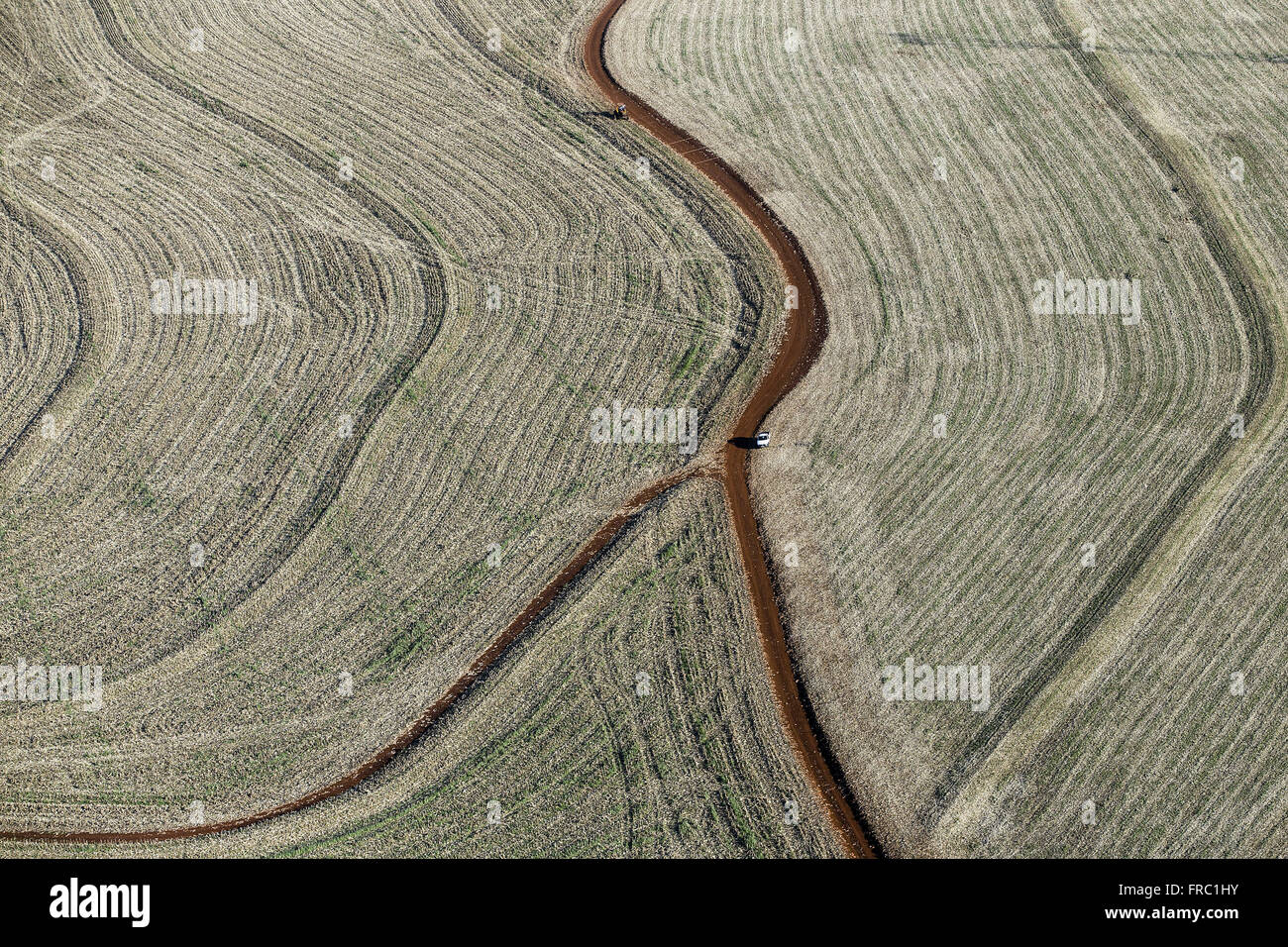 Aerial view of dirt road through the plantation of grain in the countryside Stock Photohttps://www.alamy.com/image-license-details/?v=1https://www.alamy.com/stock-photo-aerial-view-of-dirt-road-through-the-plantation-of-grain-in-the-countryside-100453639.html
RMFRC1HY–Aerial view of dirt road through the plantation of grain in the countryside
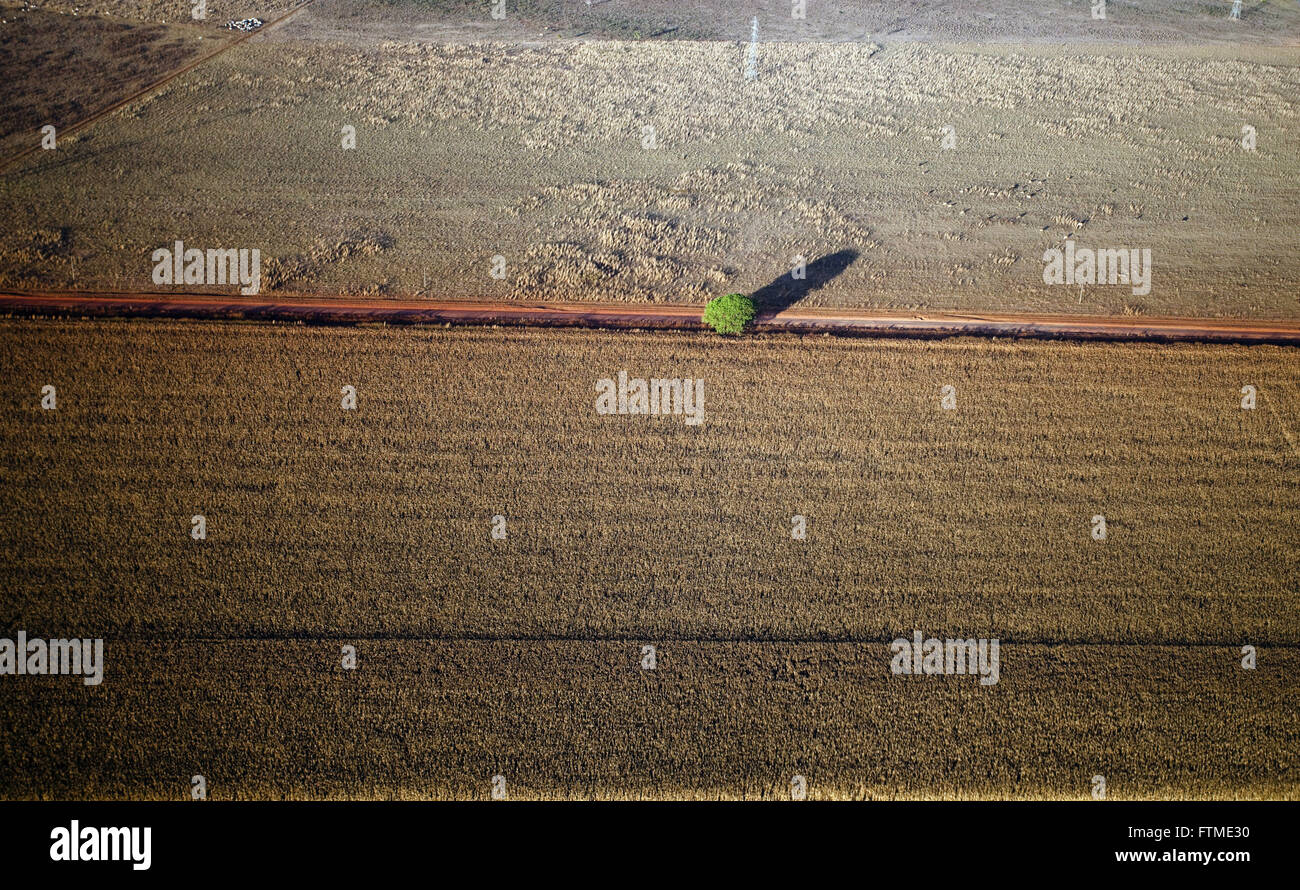 Aerial view of dirt road in savannah area cleared for agriculture Stock Photohttps://www.alamy.com/image-license-details/?v=1https://www.alamy.com/stock-photo-aerial-view-of-dirt-road-in-savannah-area-cleared-for-agriculture-101253684.html
RMFTME30–Aerial view of dirt road in savannah area cleared for agriculture
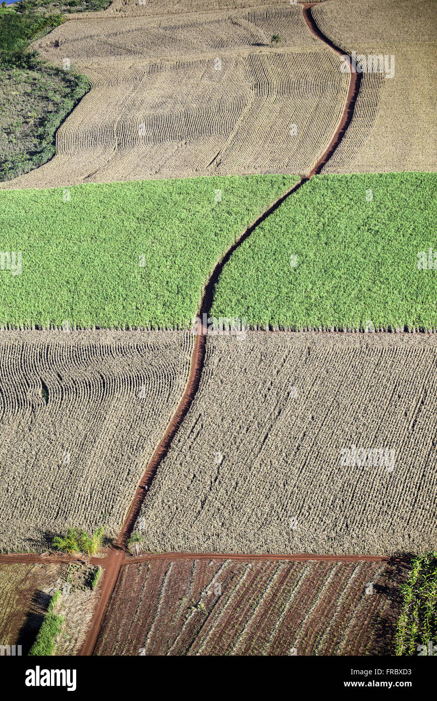 Aerial view of dirt road between planting corn and planting of cane sugar Stock Photohttps://www.alamy.com/image-license-details/?v=1https://www.alamy.com/stock-photo-aerial-view-of-dirt-road-between-planting-corn-and-planting-of-cane-100451151.html
RMFRBXD3–Aerial view of dirt road between planting corn and planting of cane sugar
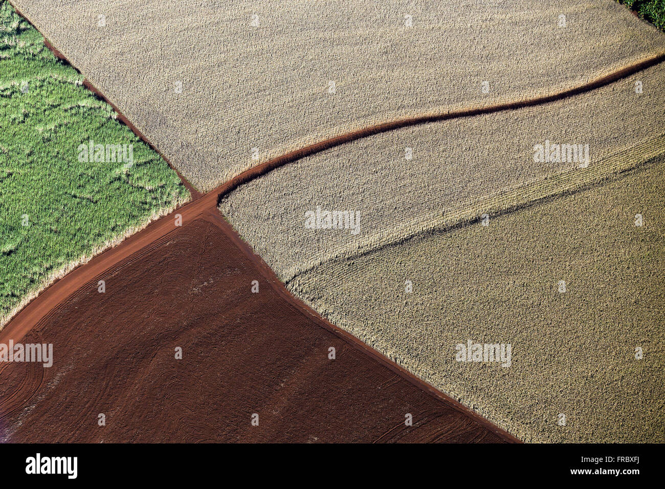 Aerial view of dirt road between planting corn Stock Photohttps://www.alamy.com/image-license-details/?v=1https://www.alamy.com/stock-photo-aerial-view-of-dirt-road-between-planting-corn-100451222.html
RMFRBXFJ–Aerial view of dirt road between planting corn
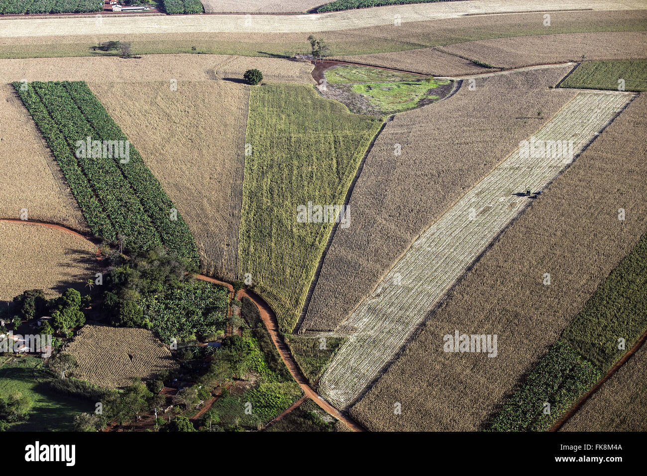 Aerial view of dirt road between the plantations of maize, sugar cane and bananas Stock Photohttps://www.alamy.com/image-license-details/?v=1https://www.alamy.com/stock-photo-aerial-view-of-dirt-road-between-the-plantations-of-maize-sugar-cane-97921722.html
RMFK8M4A–Aerial view of dirt road between the plantations of maize, sugar cane and bananas
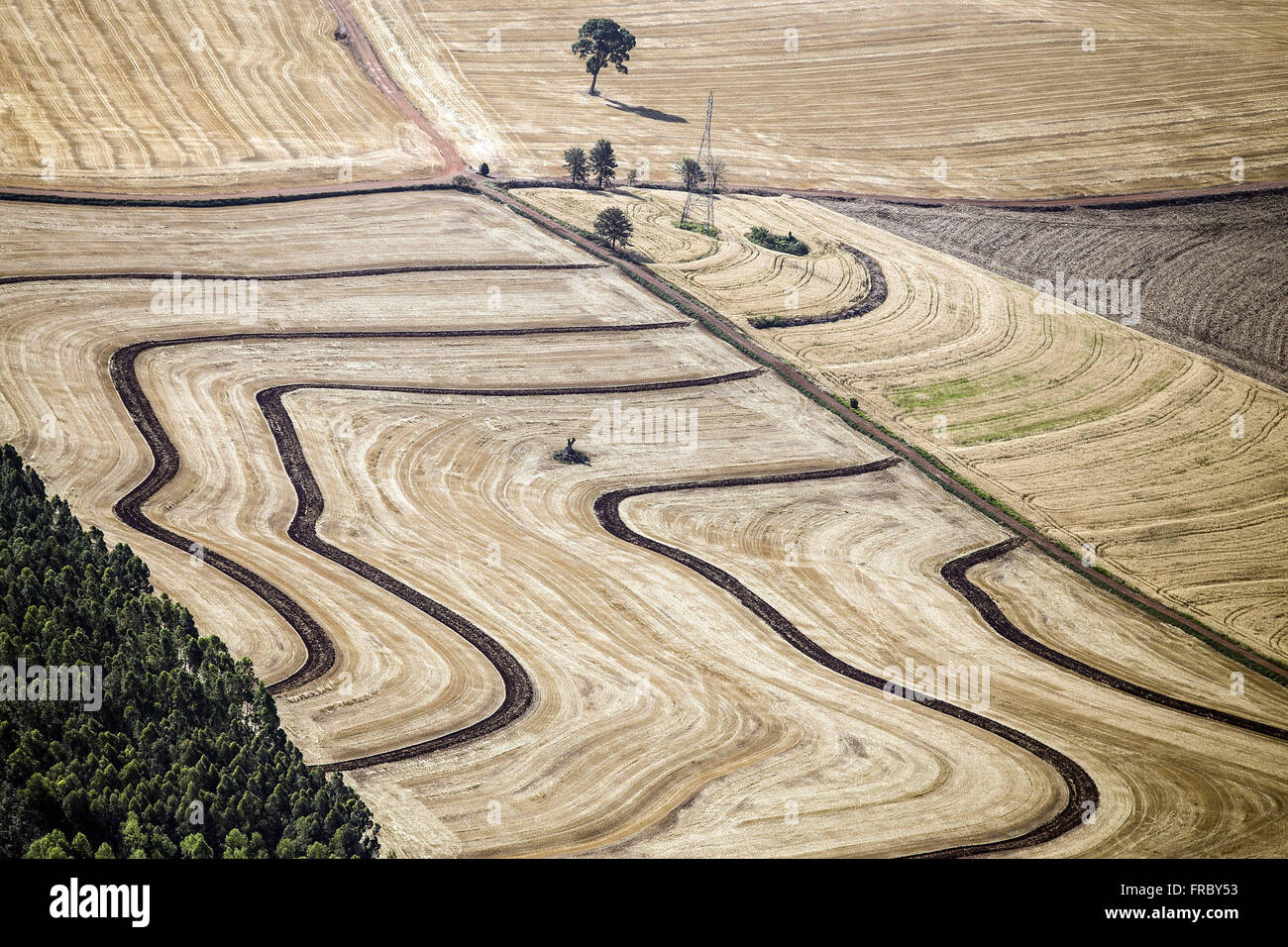 Aerial view of rural property with agricultural diversity Stock Photohttps://www.alamy.com/image-license-details/?v=1https://www.alamy.com/stock-photo-aerial-view-of-rural-property-with-agricultural-diversity-100451711.html
RMFRBY53–Aerial view of rural property with agricultural diversity
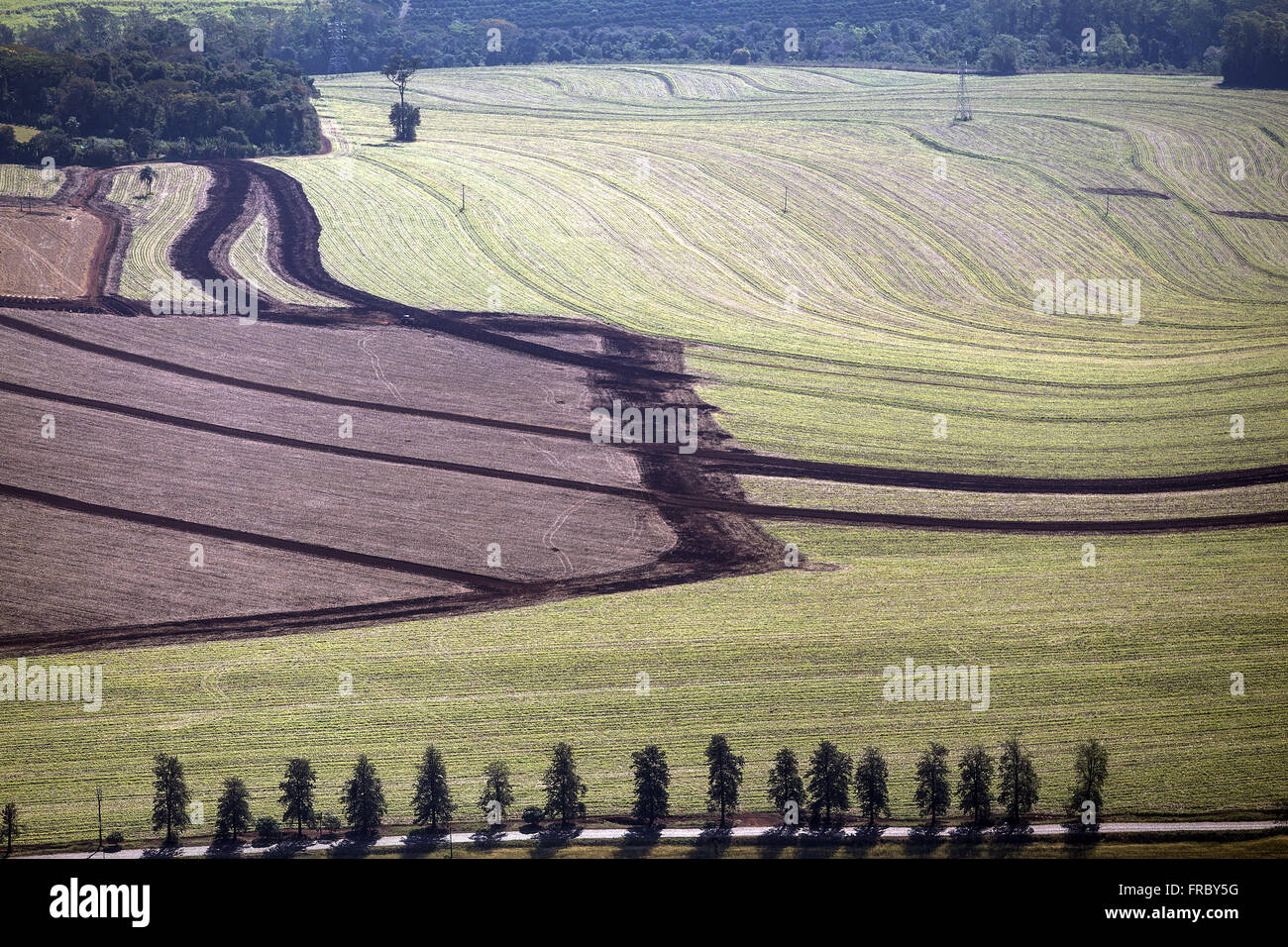 Aerial view of rural property with agricultural diversity Stock Photohttps://www.alamy.com/image-license-details/?v=1https://www.alamy.com/stock-photo-aerial-view-of-rural-property-with-agricultural-diversity-100451724.html
RMFRBY5G–Aerial view of rural property with agricultural diversity
 Aerial view of tree isolated in crop recently harvested Stock Photohttps://www.alamy.com/image-license-details/?v=1https://www.alamy.com/stock-photo-aerial-view-of-tree-isolated-in-crop-recently-harvested-100451787.html
RMFRBY7R–Aerial view of tree isolated in crop recently harvested
 Aerial view of the works of COMPERJ - Petrochemical Complex of Rio de Janeiro Stock Photohttps://www.alamy.com/image-license-details/?v=1https://www.alamy.com/stock-photo-aerial-view-of-the-works-of-comperj-petrochemical-complex-of-rio-de-100454793.html
RMFRC335–Aerial view of the works of COMPERJ - Petrochemical Complex of Rio de Janeiro
 Aerial view of the works of COMPERJ - Petrochemical Complex of Rio de Janeiro Stock Photohttps://www.alamy.com/image-license-details/?v=1https://www.alamy.com/stock-photo-aerial-view-of-the-works-of-comperj-petrochemical-complex-of-rio-de-100454795.html
RMFRC337–Aerial view of the works of COMPERJ - Petrochemical Complex of Rio de Janeiro
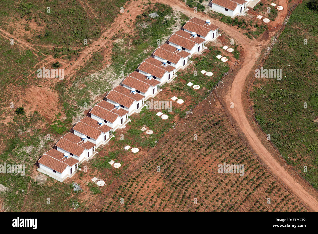 Aerial view of public housing Stock Photohttps://www.alamy.com/image-license-details/?v=1https://www.alamy.com/stock-photo-aerial-view-of-public-housing-101252650.html
RMFTMCP2–Aerial view of public housing
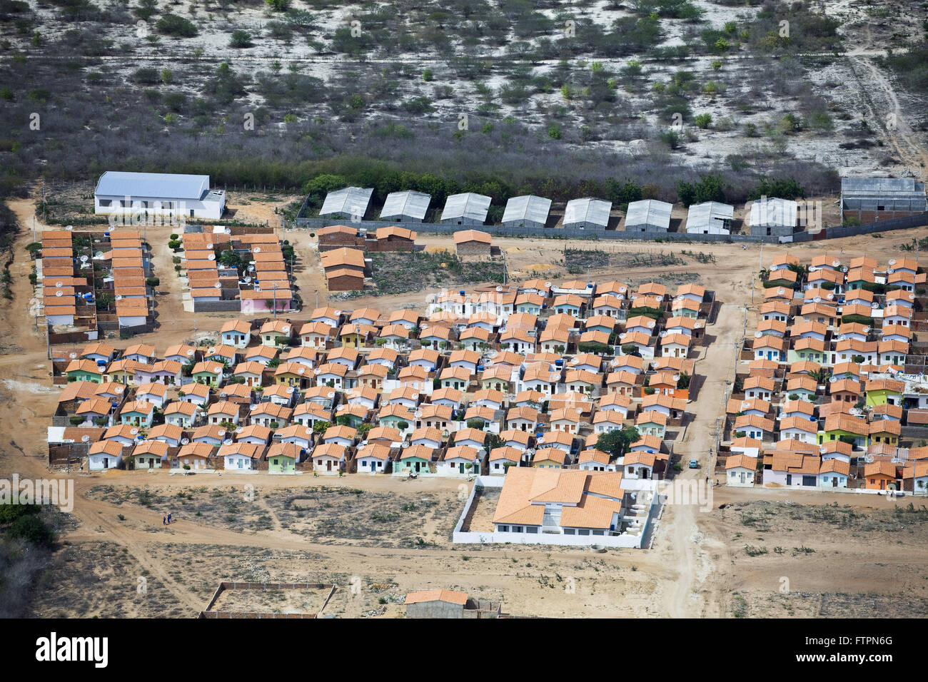 Aerial view of city housing project located in the backlands of Bahia Stock Photohttps://www.alamy.com/image-license-details/?v=1https://www.alamy.com/stock-photo-aerial-view-of-city-housing-project-located-in-the-backlands-of-bahia-101303176.html
RMFTPN6G–Aerial view of city housing project located in the backlands of Bahia
 Aerial view of the municipality of Lagoa Ugly Quissama Stock Photohttps://www.alamy.com/image-license-details/?v=1https://www.alamy.com/stock-photo-aerial-view-of-the-municipality-of-lagoa-ugly-quissama-101301467.html
RMFTPK1F–Aerial view of the municipality of Lagoa Ugly Quissama
 Aerial view of deforested area of cerrado for agriculture in rural Canarana Stock Photohttps://www.alamy.com/image-license-details/?v=1https://www.alamy.com/stock-photo-aerial-view-of-deforested-area-of-cerrado-for-agriculture-in-rural-101253663.html
RMFTME27–Aerial view of deforested area of cerrado for agriculture in rural Canarana
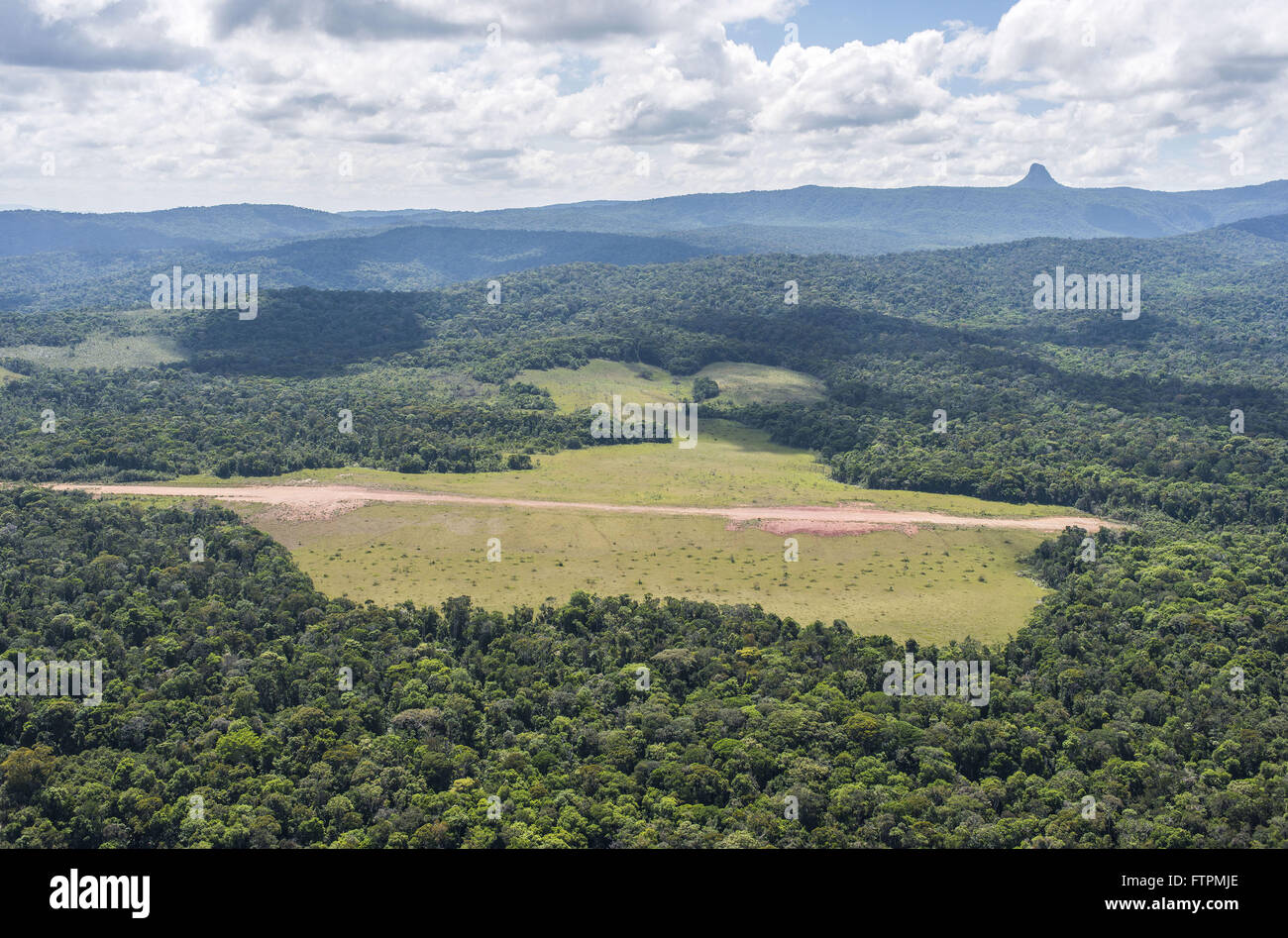 Aerial view of Mount Roraima National Park highlighting the area of the Longhouse Mapae Stock Photohttps://www.alamy.com/image-license-details/?v=1https://www.alamy.com/stock-photo-aerial-view-of-mount-roraima-national-park-highlighting-the-area-of-101302726.html
RMFTPMJE–Aerial view of Mount Roraima National Park highlighting the area of the Longhouse Mapae
 Aerial view of the works of COMPERJ - Petrochemical Complex of Rio de Janeiro Stock Photohttps://www.alamy.com/image-license-details/?v=1https://www.alamy.com/stock-photo-aerial-view-of-the-works-of-comperj-petrochemical-complex-of-rio-de-100454808.html
RMFRC33M–Aerial view of the works of COMPERJ - Petrochemical Complex of Rio de Janeiro
 Aerial view of houses especially in residence halls and dirt roads Stock Photohttps://www.alamy.com/image-license-details/?v=1https://www.alamy.com/stock-photo-aerial-view-of-houses-especially-in-residence-halls-and-dirt-roads-97947072.html
RMFK9TDM–Aerial view of houses especially in residence halls and dirt roads
