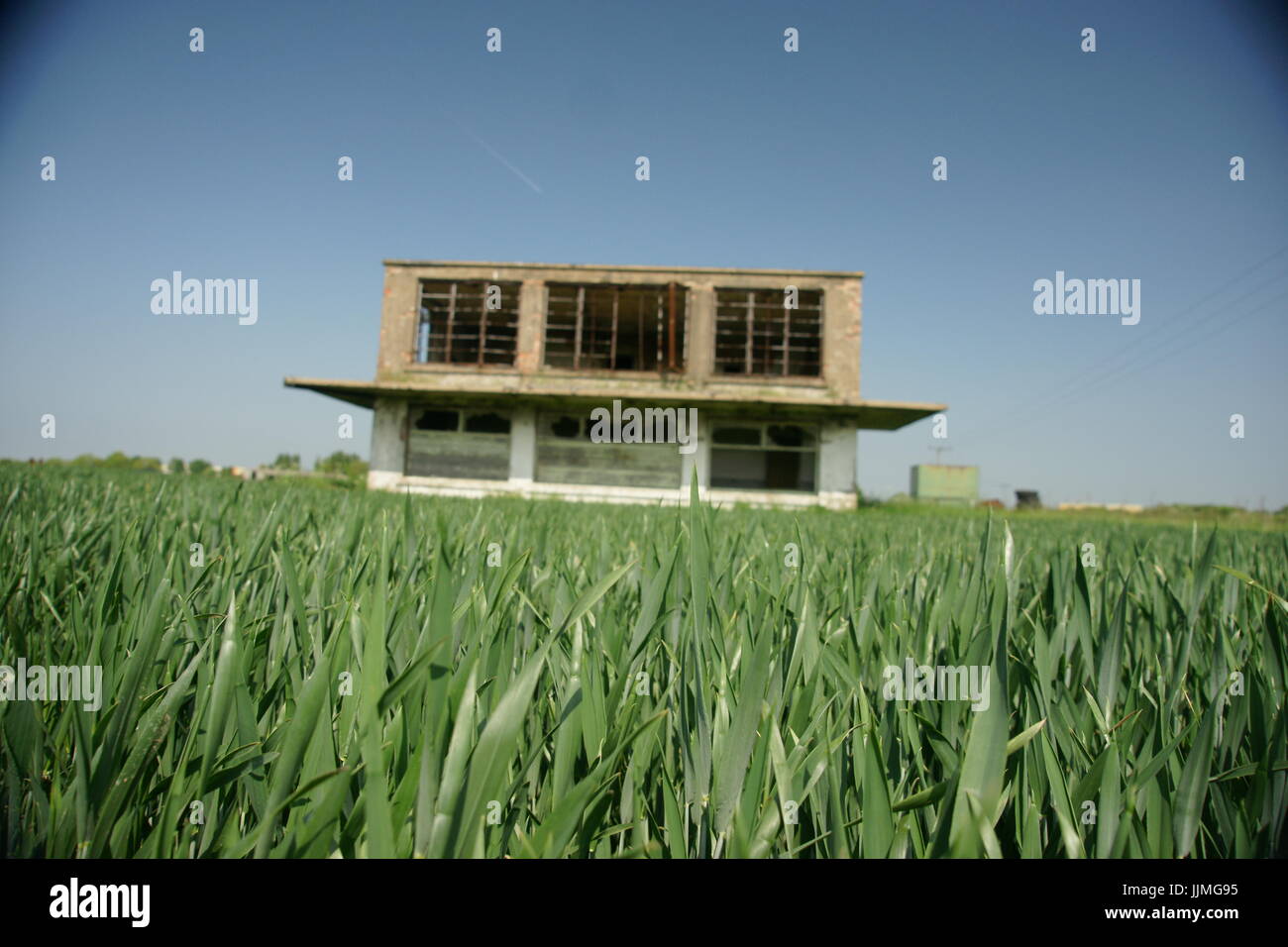
world war two airfield control tower, RAF Catfoss, East Yorkshire
RMID:Image ID:JJMG95
Image details
Contributor:
world war 2 military airfields / Alamy Stock PhotoImage ID:
JJMG95File size:
34.8 MB (835.8 KB Compressed download)Releases:
Model - no | Property - noDo I need a release?Dimensions:
4272 x 2848 px | 36.2 x 24.1 cm | 14.2 x 9.5 inches | 300dpiDate taken:
20 January 2022Location:
Catfoss Airfield, Brandesburton, Driffield YO25 8EJ, UKMore information:
RAF Catfoss airfield. Airfield Today is industrial site and Agriculture. Airfield control Tower Type is Watch Office 12779/41. RAF Catfoss was a Royal Air Force station during the Second World War. The station was closed down on 12 November 1945