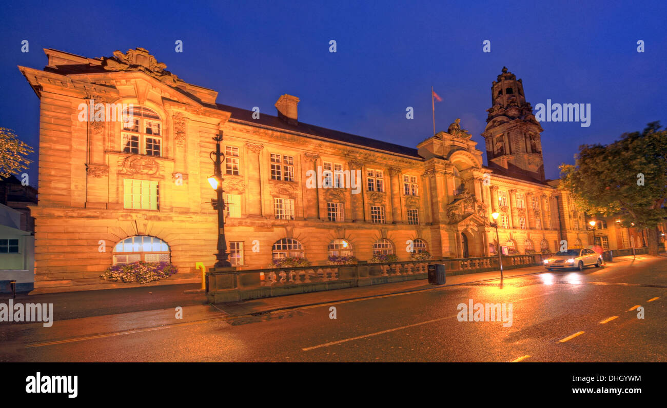
Walsall Town Hall municipal building at dusk / night , West Midlands , England , UK WS1 1TW
Image details
Contributor:
Tony Smith / Alamy Stock PhotoImage ID:
DHGYWMFile size:
42.1 MB (1.8 MB Compressed download)Releases:
Model - no | Property - noDo I need a release?Dimensions:
5205 x 2830 px | 44.1 x 24 cm | 17.4 x 9.4 inches | 300dpiDate taken:
12 September 2013Location:
Darwall St, Walsall, West Midlands , England , UK WS1 1TWMore information:
The Metropolitan Borough of Walsall is a local government district in the West Midlands, England, with the status of a metropolitan borough. It is named after its largest settlement, Walsall, but covers a larger area which also includes the towns of Aldridge, Bloxwich, Brownhills, Darlaston and Willenhall. For Eurostat purposes Walsall and Wolverhampton is a NUTS 3 region (code UKG35) and is one of five boroughs or unitary districts that comprise the "West Midlands" NUTS 2 region. The borough had an estimated population of 254, 500 in 2007. The current boundaries were set as part of the provisions of the Local Government Act 1972, with a change to the north of the borough in 1994. It is bounded on the west by the City of Wolverhampton, the south by the Metropolitan Borough of Sandwell, to the south east by the City of Birmingham, and by the Staffordshire districts of Lichfield, Cannock Chase and South Staffordshire to the east, north and northwest respectively. Most of the borough is highly industrialised and densely populated, but areas around the north and east of the borough are open space. In 1986 the borough became an effective unitary authority when the West Midlands County Council was abolished. However it remains part of the West Midlands for ceremonial purposes, and for functions such as policing, fire and public transport.