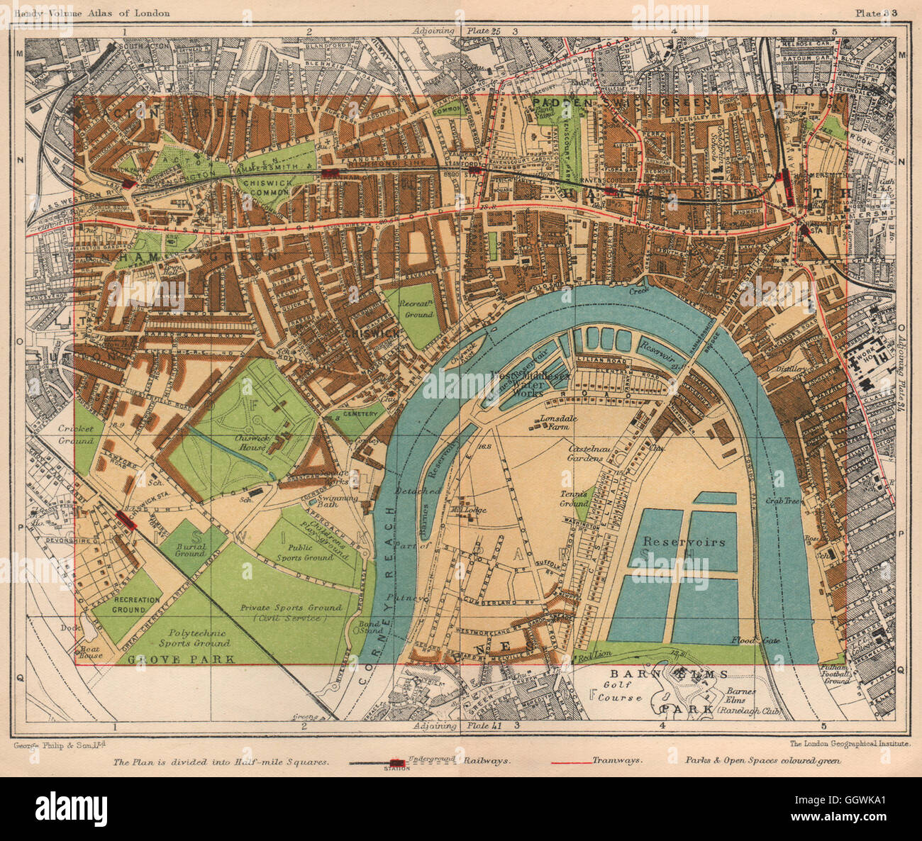
W LONDON. Hammersmith Acton Green Turnham Green Chiswick Barnes, 1932 old map
RFID:Image ID:GGWKA1
Image details
Contributor:
Antiqua Print Gallery / Alamy Stock PhotoImage ID:
GGWKA1File size:
13.4 MB (1.4 MB Compressed download)Releases:
Model - no | Property - noDo I need a release?Dimensions:
2361 x 1991 px | 40 x 33.7 cm | 15.7 x 13.3 inches | 150dpiDate taken:
1932Location:
LondonMore information:
This image could have imperfections as it’s either historical or reportage.
'Acton Green'. Artist/engraver/cartographer: Unsigned. Provenance: "Philips Handy-Volume Atlas of London"; Published by George Philip & Son, Ltd., London: 9th Edition. Type: Antique colour map. This map was originally printed on two separate sheets which have been physically or digitally joined; a slight discontinuity may exist along the join.