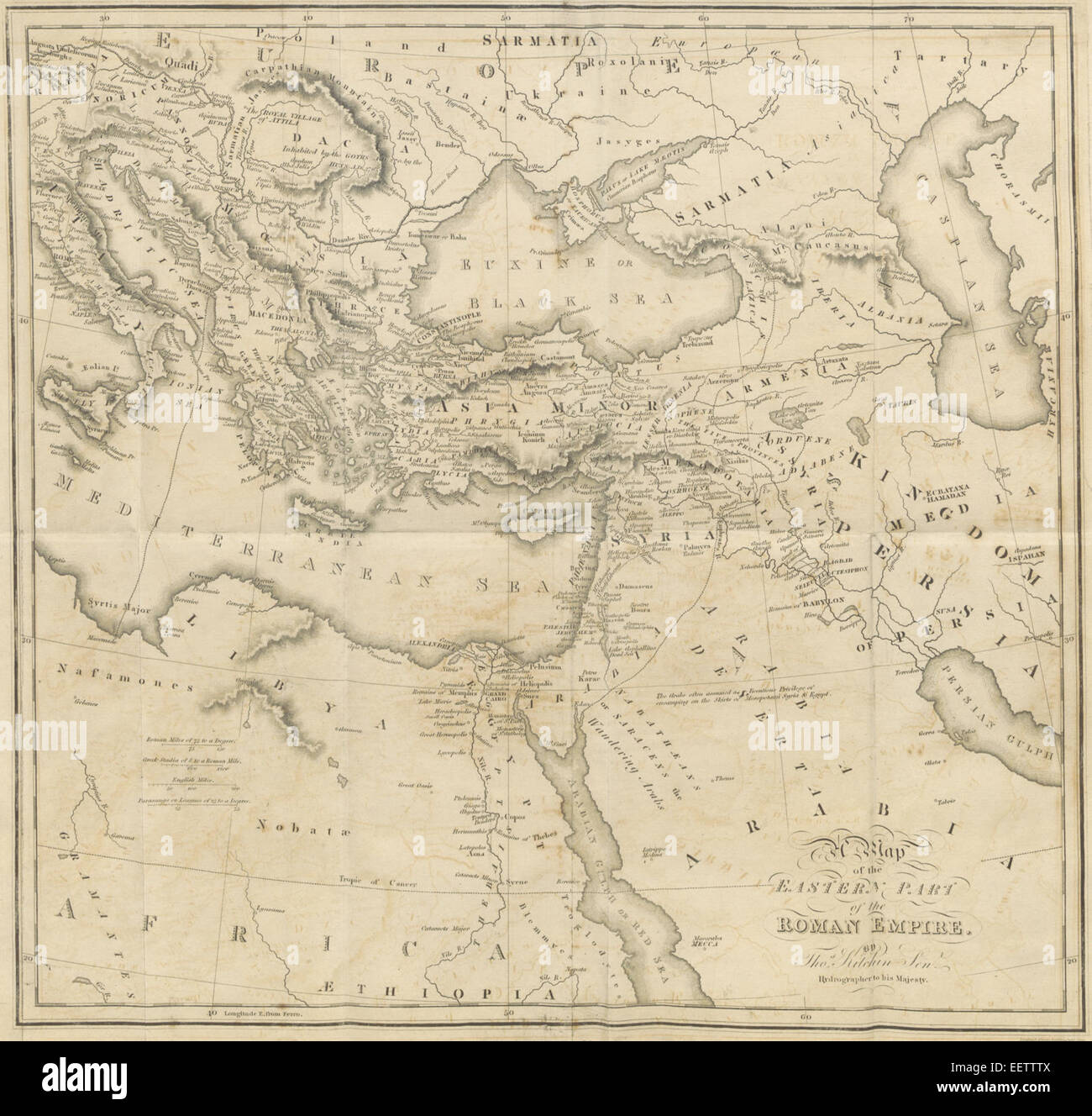
This 1818 map by Gibbon shows the eastern portion of the Roman Empire, providing valuable insights into its territorial extent and important locations during the classical era.
RMID:Image ID:EETTTX
Image details
Contributor:
BLM CollectionImage ID:
EETTTXFile size:
7.1 MB (462.9 KB Compressed download)Releases:
Model - no | Property - noDo I need a release?Dimensions:
1619 x 1543 px | 27.4 x 26.1 cm | 10.8 x 10.3 inches | 150dpiMore information:
This image is a public domain image, which means either that copyright has expired in the image or the copyright holder has waived their copyright. Alamy charges you a fee for access to the high resolution copy of the image.
This image could have imperfections as it’s either historical or reportage.