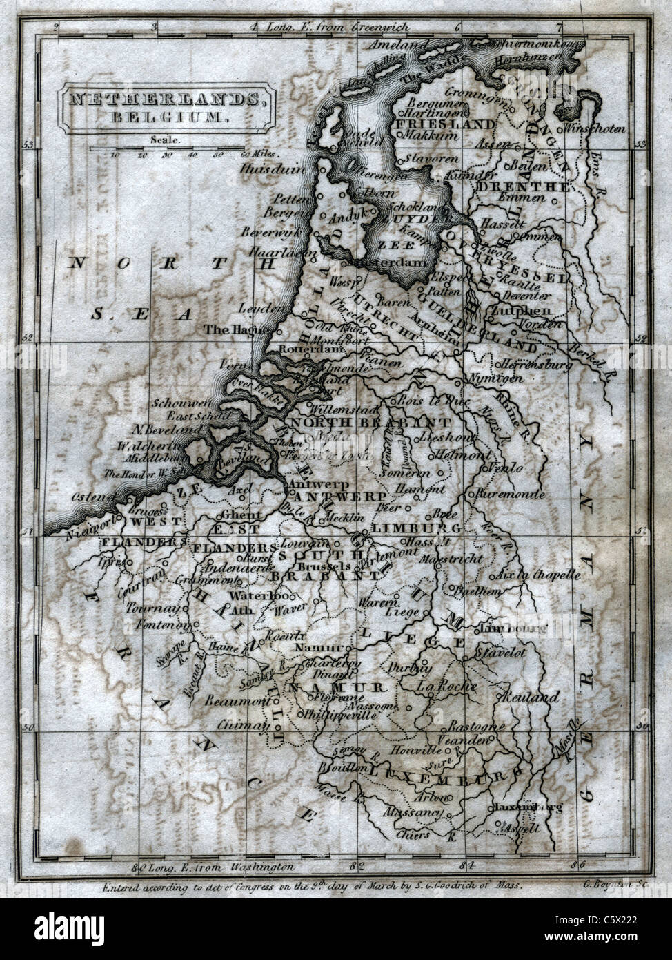
The Netherlands and Belgium- Antiquarian Black and White Map from "The Second Book of History"
RFID:Image ID:C5X222
Image details
Contributor:
Antiquarian Images / Alamy Stock PhotoImage ID:
C5X222File size:
113.6 MB (5.9 MB Compressed download)Releases:
Model - no | Property - noDo I need a release?Dimensions:
5456 x 7279 px | 46.2 x 61.6 cm | 18.2 x 24.3 inches | 300dpiDate taken:
1836Location:
the Low CountriesMore information:
Old black and white map. These maps are from an old school primer called "The Second Book of History, Including The Modern History of Europe, Africa, and Asia "Designed as a Sequel to the 'First Book of History, by the Author of Peter Parley's Tales' " by Charles J. Hendee, 1836. These maps have been heavily edited as they were in rough shape, but are nice example of old engravings for education from the early 1800's.