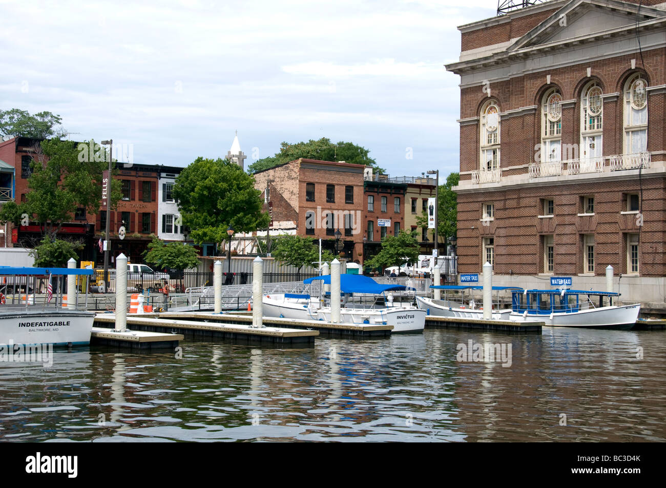
The Inner Harbor area in Baltimore, MD USA.
Image details
Contributor:
Peter Steiner / Alamy Stock PhotoImage ID:
BC3D4KFile size:
49.8 MB (2.6 MB Compressed download)Releases:
Model - no | Property - noDo I need a release?Dimensions:
5120 x 3401 px | 43.3 x 28.8 cm | 17.1 x 11.3 inches | 300dpiDate taken:
June 2009Location:
Baltimore MD, USAMore information:
The Inner Harbor is a historic seaport, tourist attraction, and iconic landmark of the City of Baltimore, Maryland. The harbor itself is actually the end of the Northwest Branch of the Patapsco River and includes any water west of a line drawn between the National Aquarium in Baltimore and the Rusty Scupper restaurant. The term "Inner Harbor" is used not just for the water but for the surrounding area of the city, with approximate street boundaries of President Street, Lombard Street, Light Street, and Key Highway. The harbor is within walking distance of Oriole Park at Camden Yards and M&T Bank Stadium and has a water taxi that connects the Inner Harbor to Fells Point, Canton, and Fort McHenry.