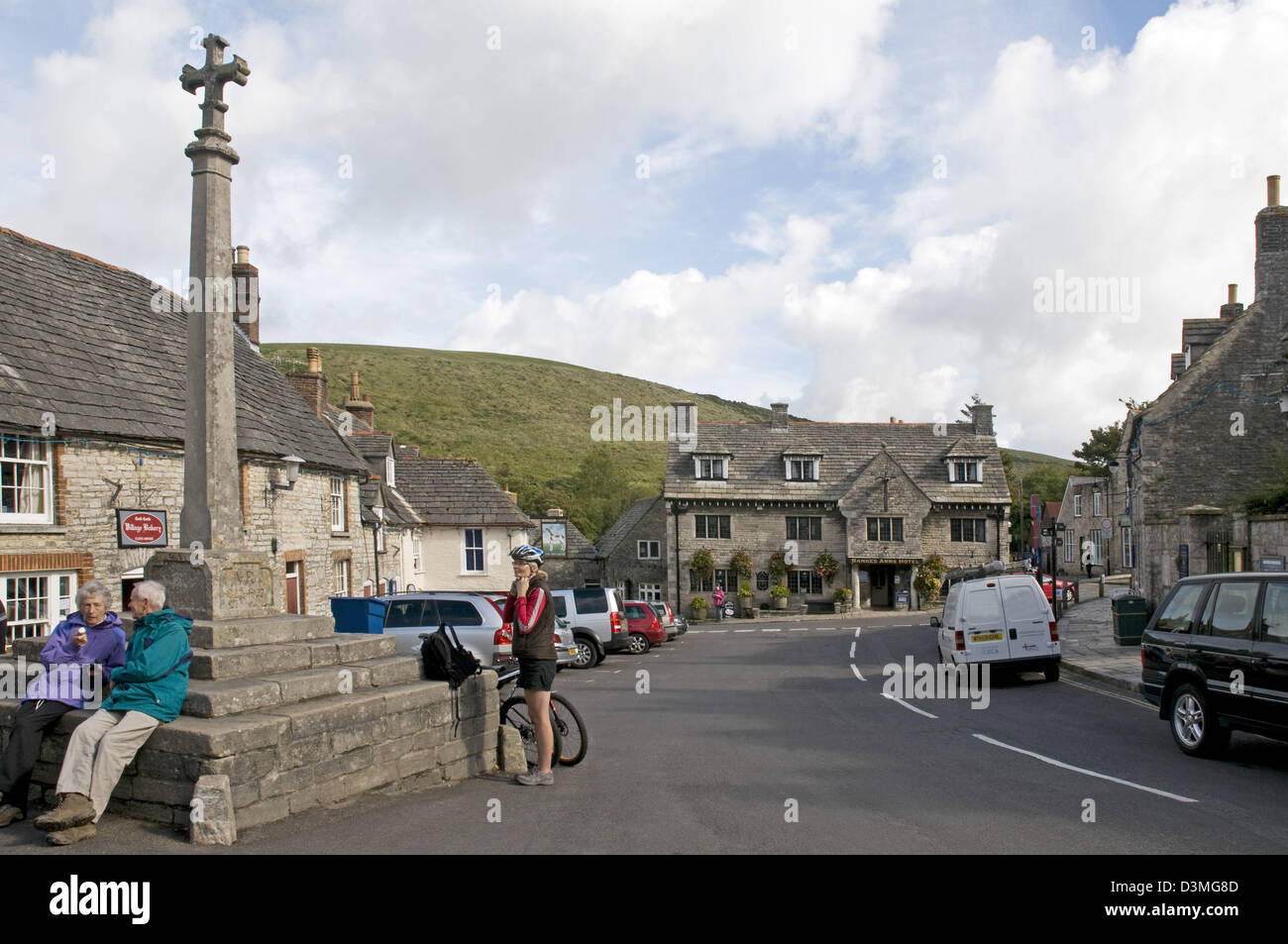
The Dorset village of Corfe Castle
Image details
Contributor:
Michael Dutton / Alamy Stock PhotoImage ID:
D3MG8DFile size:
34.9 MB (1.2 MB Compressed download)Releases:
Model - no | Property - noDo I need a release?Dimensions:
4288 x 2848 px | 36.3 x 24.1 cm | 14.3 x 9.5 inches | 300dpiDate taken:
2012Location:
Village of Corfe Castle, Dorset, EnglandMore information:
The village of Corfe Castle is a civil parish in the English county of Dorset. It is the site of a ruined castle of the same name. The village and castle stand over a gap in the Purbeck Hills on the route between Wareham and Swanage. The village lies in the gap below the castle, and is about five miles southeast of Wareham, and the same distance west of Swanage. Both the current main A351 road Lytchett Minster to Swanage and the Swanage Railway thread their way through the gap and the village. The civil parish of Corfe Castle stretches across the width of the Isle of Purbeck, with coasts facing both the English Channel and Poole Harbour. It therefore includes sections of both the low lying sandy heathland that lies to the north of the castle, and the rugged Jurassic Coast upland to the south.