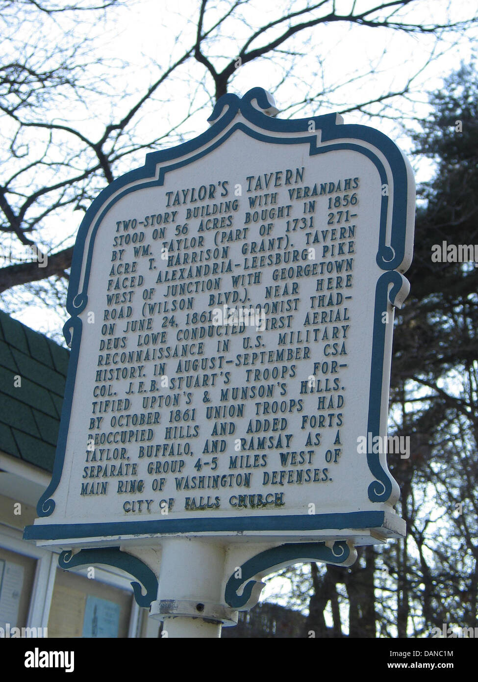
TAYLOR'S TAVERN Two-story building with verandahs stood on 56 acres bought in 1856 by Wm. Taylor (part of 1731 271 T. Harrison
RMID:Image ID:DANC1M
Image details
Contributor:
Jason O. Watson / historical-markers.org / Alamy Stock PhotoImage ID:
DANC1MFile size:
27.8 MB (1.3 MB Compressed download)Releases:
Model - no | Property - noDo I need a release?Dimensions:
2700 x 3600 px | 22.9 x 30.5 cm | 9 x 12 inches | 300dpiDate taken:
2004Location:
VirginiaMore information:
TAYLOR'S TAVERN Two-story building with verandahs stood on 56 acres bought in 1856 by Wm. Taylor (part of 1731 271 T. Harrison Grant). Tavern faced Alexandria-Leesburg Pike west of junction with Georgetown Road (Wilson Blvd.). Near here on June 21, 1861, balloonist Thadeus Lowe conducted first aerial reconnaissance in U.S. military history. In August-September CSA Col. J.E.B. Stuart's troops fortified Upton's and Munson's Hills. By October 1861 Union troops had reoccupied hills and added Forts Taylor, Buffalo, and Ramsay as a separate group 4-5 miles west of Main ring of Washington Defenses. City of Falls Church