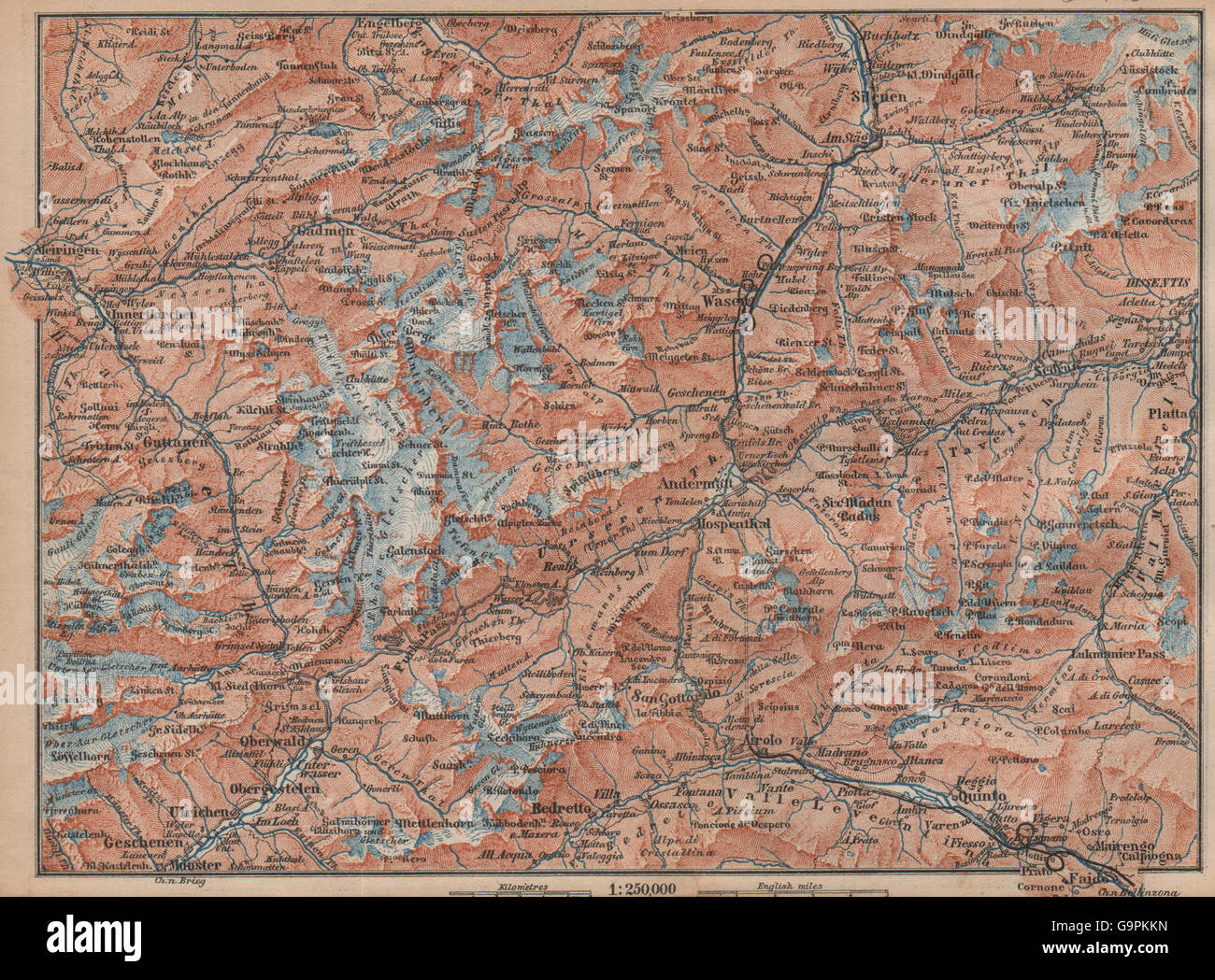
ST GOTTHARD area. Andermatt Engelberg Silenen Gadmen Ulrichen Disentis, 1893 map
RFID:Image ID:G9PKKN
Image details
Contributor:
Antiqua Print Gallery / Alamy Stock PhotoImage ID:
G9PKKNFile size:
12.9 MB (1.6 MB Compressed download)Releases:
Model - no | Property - noDo I need a release?Dimensions:
2471 x 1824 px | 41.8 x 30.9 cm | 16.5 x 12.2 inches | 150dpiDate taken:
1893Location:
SwitzerlandMore information:
This image could have imperfections as it’s either historical or reportage.
Artist/engraver/cartographer: Wagner & Debes. Provenance: "Switzerland and the adjacent portions of Italy, Savoy, and the Tyrol"; by K. Baedeker, Published by Karl Baedeker, London: 15th Edition . Type: Antique colour map; Scale 1:150, 000. Ski/winter sports resorts marked on the map include: Andermatt Engelberg. Other villages, towns, mountain ranges and river valleys shown on the map include: Bedretto Innertkirchen Silenen Gadmen Ulrichen Disentis