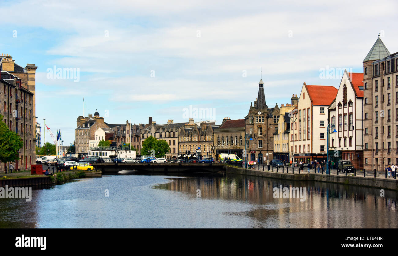
Shore and the Water of Leith. Leith, Edinburgh, Scotland, United Kingdom Europe.
Image details
Contributor:
Stan Pritchard / Alamy Stock PhotoImage ID:
ETB4HRFile size:
51.5 MB (2.2 MB Compressed download)Releases:
Model - no | Property - noDo I need a release?Dimensions:
5600 x 3214 px | 47.4 x 27.2 cm | 18.7 x 10.7 inches | 300dpiDate taken:
23 May 2015Location:
Shore and the Water of Leith. Leith, Edinburgh, Scotland, United Kingdom Europe.More information:
The Water of Leith is the main river flowing through Edinburgh, Scotland, to the port of Leith where it flows into the sea via the Firth of Forth. It is 35 km (22 mi) long and rises in the Colzium Springs at Millstone Rig of the Pentland Hills. It travels through Harperrig Reservoir, past the ruins of Cairns Castle, through Balerno, Currie, Juniper Green, Colinton, Slateford, Longstone, Saughton, Balgreen, Roseburn and on to the nearest it gets to the Edinburgh city centre at the Dean Village, on the site of old watermills in a deep gorge. This ravine is dramatically spanned by the Dean Bridge, designed by Thomas Telford, which was built in 1832 for the road to Queensferry, and lies next to the New Town. The river flows on past Stockbridge, Inverleith, Canonmills and Warriston where it passes through shallows at a place known as Puddocky which is commonly thought to refer to "puddocks", the Scots language term for frogs, but actually took its name from the former Paddock Hall which was sited nearby[citation needed]. The river continues past Bonnington, the site of another watermill, to Leith where it widens into the old harbour and port at the Shore. Leith Docks have been extended considerably out into the firth from the old shoreline, and there are now plans to discontinue their use as a port and use the area for housing redevelopment.