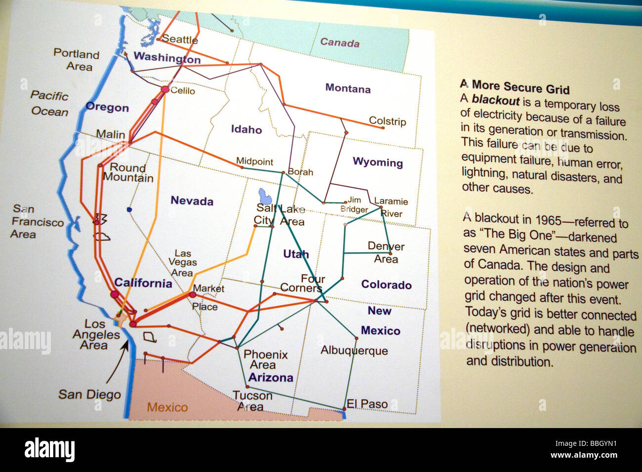
Power grid map at the Hoover Dam on the border of states Arizona and Nevada USA
RMID:Image ID:BBGYN1
Image details
Contributor:
David R. Frazier Photolibrary, Inc. / Alamy Stock PhotoImage ID:
BBGYN1File size:
50 MB (3 MB Compressed download)Releases:
Model - no | Property - noDo I need a release?Dimensions:
5120 x 3413 px | 43.3 x 28.9 cm | 17.1 x 11.4 inches | 300dpiDate taken:
2009Location:
united states america usa southwest arizona nevada