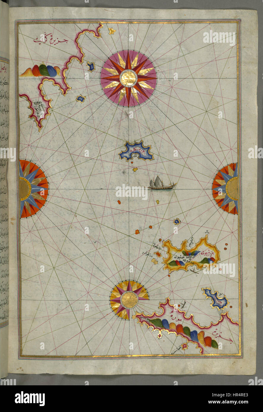
Piri Reis - Map of the Area Between the Peloponnese Peninsula and the Island of Crete - Walters W658124B - Full Page
RMID:Image ID:HR4RE3
Image details
Contributor:
Art Collection 2 / Alamy Stock PhotoImage ID:
HR4RE3File size:
7.1 MB (466.4 KB Compressed download)Releases:
Model - no | Property - noDo I need a release?Dimensions:
1306 x 1912 px | 22.1 x 32.4 cm | 8.7 x 12.7 inches | 150dpiMore information:
This image is a public domain image, which means either that copyright has expired in the image or the copyright holder has waived their copyright. Alamy charges you a fee for access to the high resolution copy of the image.
This image could have imperfections as it’s either historical or reportage.