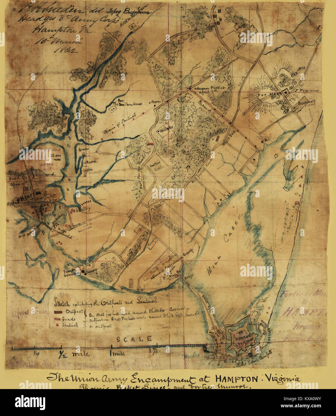
Official map of the Union works in front of Yorktown, Va.

RMID:Image ID:KXA0WY
Image details
Contributor:
The Protected Art Archive / Alamy Stock PhotoImage ID:
KXA0WYFile size:
35.2 MB (2.1 MB Compressed download)Releases:
Model - no | Property - noDo I need a release?Dimensions:
3261 x 3773 px | 27.6 x 31.9 cm | 10.9 x 12.6 inches | 300dpiDate taken:
1862More information:
This image could have imperfections as it’s either historical or reportage.
Official map of the Union works in front of Yorktown, Va. Wm. Heine and R.K. Sneden, Topog. Engineers of 40th N.Y. Vols., 3rd Corps, U.S.A., April 1862.. Yorktown, Va., including Union batteries located along the Warwick Court House Road. Also shows the Confederate barricade made up of abatis, palisades, slashing of trees, felled trees, and dams that flooded low-lying areas. The Union army, under Gen. McClellan, prepared to lay siege to Yorktown as part of its advance up the Virginia Peninsula toward the Confederate capital of Richmond.