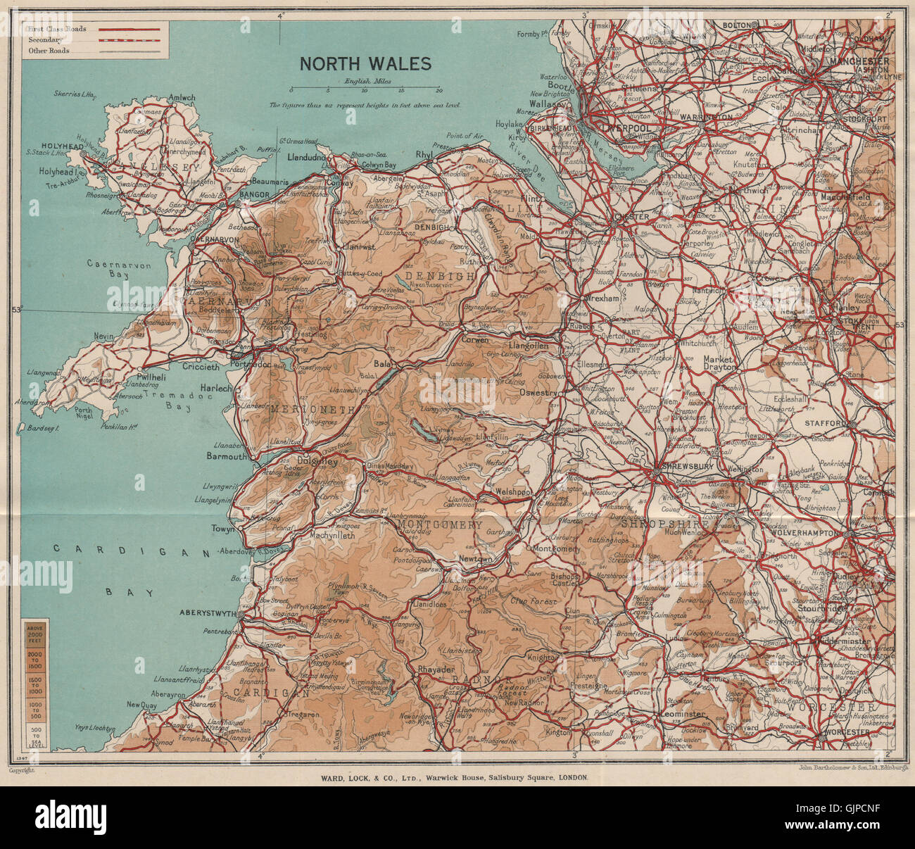
NORTH WALES. Rhyl Flint. WARD LOCK, 1937 vintage map
RFID:Image ID:GJPCNF
Image details
Contributor:
Antiqua Print Gallery / Alamy Stock PhotoImage ID:
GJPCNFFile size:
23.9 MB (2.3 MB Compressed download)Releases:
Model - no | Property - noDo I need a release?Dimensions:
3120 x 2680 px | 26.4 x 22.7 cm | 10.4 x 8.9 inches | 300dpiDate taken:
1937Location:
WalesMore information:
This image could have imperfections as it’s either historical or reportage.
'North Wales'. Artist/engraver/cartographer: John Bartholomew & Son, Ltd. Edinburgh. Provenance: "A pictorial and descriptive guide to Colwyn Bay and North Wales (northern section)"; published by Ward, Lock & Co., Limited, London: 12th Edition. Type: Vintage colour tourist map. Places marked on the map include: Rhyl Flint