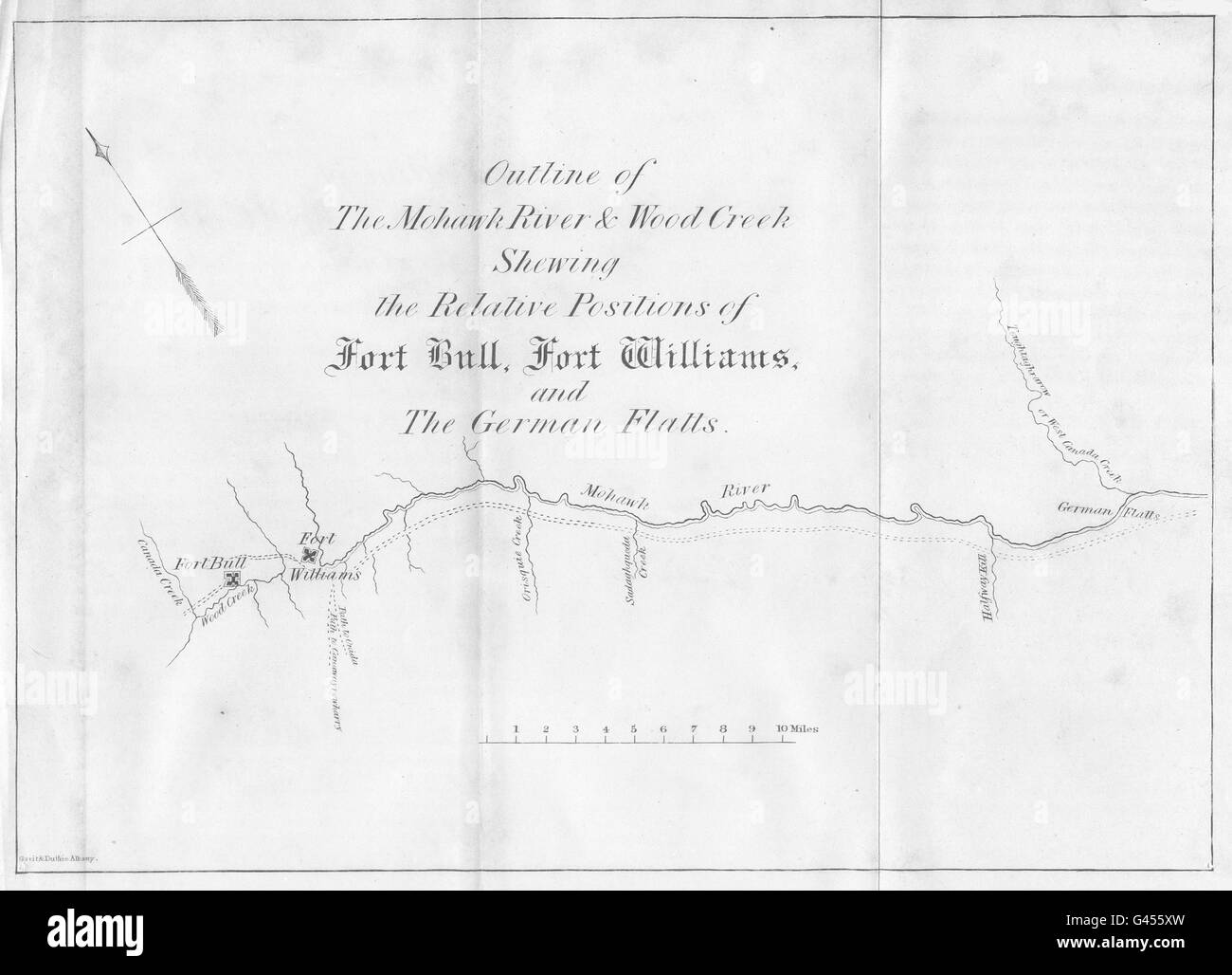
NEW YORK: Mohawk river Fort Bull,Williams.German Flatts.Utica.Rome, 1849 map
RFID:Image ID:G455XW
Image details
Contributor:
Antiqua Print Gallery / Alamy Stock PhotoImage ID:
G455XWFile size:
19.3 MB (575.1 KB Compressed download)Releases:
Model - no | Property - noDo I need a release?Dimensions:
3059 x 2209 px | 25.9 x 18.7 cm | 10.2 x 7.4 inches | 300dpiDate taken:
1849Location:
New YorkMore information:
This image could have imperfections as it’s either historical or reportage.
'Outline of the Mohawk river & Wood Creek Shewing the Relative positions of fort Bull, fort Williams and the German Flatts'. Artist/engraver/cartographer: Engraved by Gavit & Duthie. Provenance: "The Documentary History of the State of New York"; by E.B. O'Callaghan, M.D, Published by Weed, Parsons & Co., Albany. Type: Antique engraved map. 1849 copy of an earlier map. .