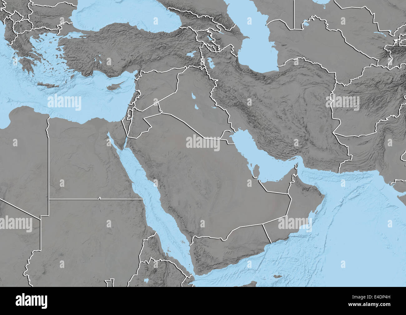
Middle East, Relief Map With Country Borders
Image details
File size:
49.8 MB (1.9 MB Compressed download)
Open your image file to the full size using image processing software.
Dimensions:
4961 x 3511 px | 42 x 29.7 cm | 16.5 x 11.7 inches | 300dpi
Date taken:
31 August 2012
More information:
This image could have imperfections as it’s either historical or reportage.
Relief map of the Middle East with country borders. This map was processed from elevation data.
Search stock photos by tags