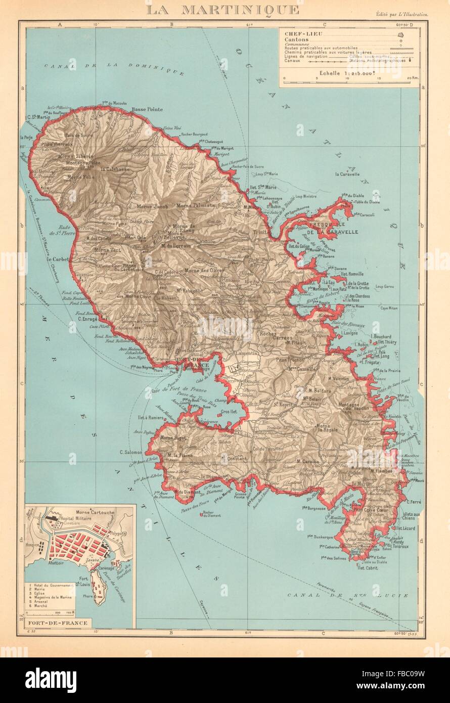
MARTINIQUE. Fort-de-France plan. Antilles françaises French West Indies 1938 map
RFID:Image ID:FBC09W
Image details
Contributor:
Antiqua Print Gallery / Alamy Stock PhotoImage ID:
FBC09WFile size:
37.2 MB (1.5 MB Compressed download)Releases:
Model - no | Property - noDo I need a release?Dimensions:
2985 x 4357 px | 25.3 x 36.9 cm | 10 x 14.5 inches | 300dpiDate taken:
1938Location:
French West IndiesMore information:
This image could have imperfections as it’s either historical or reportage.
'La Martinique. Inset: Fort-de-France'. Artist/engraver/cartographer: Commandant P. Pollacchi. Provenance: "Atlas Colonial Français. Colonies, protectorats, et pays sous mandat"; cartes et texte du Commandant P. Pollachi. 3e edition , revue et mise à jour. Type: Vintage atlas map.