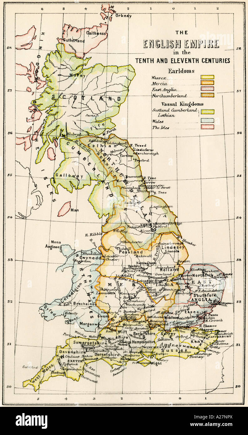
Map of England in the 10th and 11th centuries showing earldoms and vassal kingdoms. Color lithograph
RMID:Image ID:A27NPX
Image details
Contributor:
North Wind Picture Archives / Alamy Stock PhotoImage ID:
A27NPXFile size:
49.9 MB (4.1 MB Compressed download)Releases:
Model - no | Property - noDo I need a release?Dimensions:
3259 x 5349 px | 27.6 x 45.3 cm | 10.9 x 17.8 inches | 300dpiPhotographer:
North Wind Picture ArchivesMore information:
This image could have imperfections as it’s either historical or reportage.
Printed color lithograph