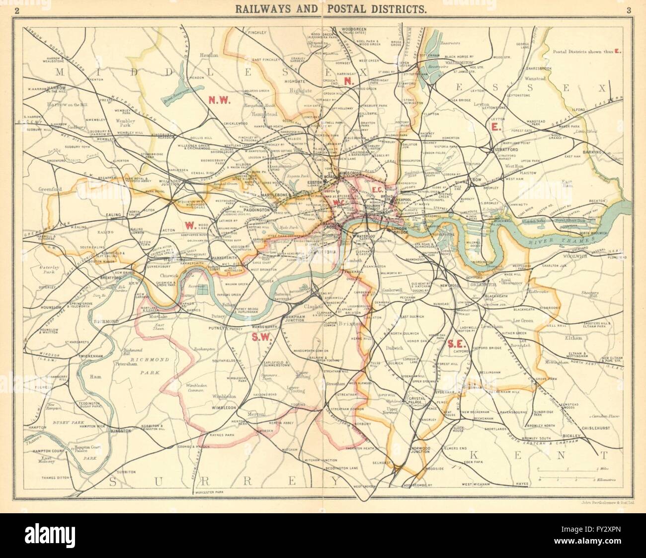
LONDON:Railways Postal Districts.Underground tube lines, 1921 vintage map
RFID:Image ID:FY2XPN
Image details
Contributor:
Antiqua Print Gallery / Alamy Stock PhotoImage ID:
FY2XPNFile size:
23.6 MB (930.9 KB Compressed download)Releases:
Model - no | Property - noDo I need a release?Dimensions:
3222 x 2559 px | 27.3 x 21.7 cm | 10.7 x 8.5 inches | 300dpiDate taken:
1921Location:
LondonMore information:
This image could have imperfections as it’s either historical or reportage.
'Railways and Postal Districts'. Artist/engraver/cartographer: John Bartholomew. Provenance: "Handy Reference Atlas of London and Suburbs"; by J. G. Bartholomew; Published by John Bartholomew & Son Ltd, Edinburgh. Fourth edition. Type: Vintage colour map. This map was originally printed on two separate sheets which have been physically or digitally joined; a slight discontinuity may exist along the join.